Estimated Value: $153,135 - $359,000
--
Bed
--
Bath
1,663
Sq Ft
$144/Sq Ft
Est. Value
About This Home
This home is located at 11073 Farm Road 1120, Purdy, MO 65734 and is currently estimated at $240,034, approximately $144 per square foot. 11073 Farm Road 1120 is a home with nearby schools including Eunice Thomas Elementary School, Cassville Intermediate School, and Cassville Middle School.
Create a Home Valuation Report for This Property
The Home Valuation Report is an in-depth analysis detailing your home's value as well as a comparison with similar homes in the area
Home Values in the Area
Average Home Value in this Area
Tax History Compared to Growth
Tax History
| Year | Tax Paid | Tax Assessment Tax Assessment Total Assessment is a certain percentage of the fair market value that is determined by local assessors to be the total taxable value of land and additions on the property. | Land | Improvement |
|---|---|---|---|---|
| 2025 | $529 | $11,457 | $3,648 | $7,809 |
| 2024 | $529 | $11,001 | $3,648 | $7,353 |
| 2023 | $496 | $11,001 | $3,648 | $7,353 |
| 2022 | $425 | $9,443 | $2,090 | $7,353 |
| 2021 | $410 | $9,063 | $1,710 | $7,353 |
| 2020 | $410 | $9,063 | $1,710 | $7,353 |
| 2018 | $400 | $9,063 | $1,710 | $7,353 |
| 2017 | $400 | $9,063 | $1,710 | $7,353 |
| 2016 | $331 | $7,486 | $1,520 | $5,966 |
| 2015 | -- | $7,486 | $1,520 | $5,966 |
| 2014 | -- | $7,486 | $1,520 | $5,966 |
| 2012 | -- | $0 | $0 | $0 |
Source: Public Records
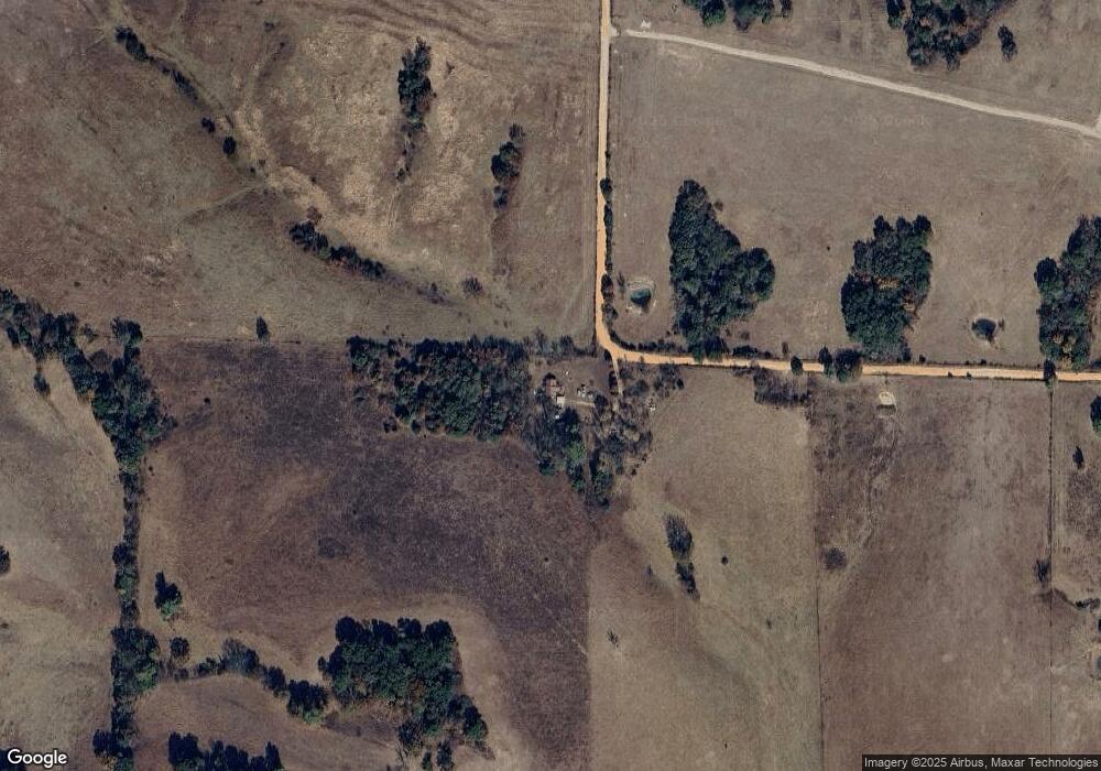
Map
Nearby Homes
- 000 Farm Road 2085
- 11295 Farm Road 2085
- 10955 Farm Road 2085
- 12056 Farm Road 1100
- 000 Farm Road 2140
- 14396 Farm Road 2140
- 10607 N Maple St
- 10607 N Maple
- 10603 N Main St
- 10106 N Maple St
- 000 State Highway C
- 000-C Farm Road 1090
- 000-B Farm Road 1090
- 000-A Farm Road 1090
- 16090 Farm Road 2130
- 803 Jessica Dr
- 14792 State Highway 37
- 15223 State Highway 37
- 510 N 4th St
- 129 Robinhood Dr