11075 State Highway 19 Apache, OK 73006
Estimated Value: $128,000 - $210,000
3
Beds
2
Baths
1,989
Sq Ft
$87/Sq Ft
Est. Value
About This Home
This home is located at 11075 State Highway 19, Apache, OK 73006 and is currently estimated at $173,107, approximately $87 per square foot. 11075 State Highway 19 is a home with nearby schools including Apache Elementary School, Apache Middle School, and Apache High School.
Ownership History
Date
Name
Owned For
Owner Type
Purchase Details
Closed on
Dec 10, 2021
Sold by
Myers Ii Charles E and Myers Charlotte C
Bought by
Charles And Charlotte Myers Living Trust
Current Estimated Value
Purchase Details
Closed on
Apr 23, 2018
Sold by
H Dwight Woodward Family Farms Llc
Bought by
Myers Charles E and Myers Charlotte
Purchase Details
Closed on
Aug 1, 1989
Bought by
Myers Ii Charles and Myers Charlot
Purchase Details
Closed on
May 1, 1988
Create a Home Valuation Report for This Property
The Home Valuation Report is an in-depth analysis detailing your home's value as well as a comparison with similar homes in the area
Home Values in the Area
Average Home Value in this Area
Purchase History
| Date | Buyer | Sale Price | Title Company |
|---|---|---|---|
| Charles And Charlotte Myers Living Trust | -- | Tyler Barrett Pllc | |
| Myers Charles E | -- | None Available | |
| H Dwight Woodward Family Farms Llc | -- | None Available | |
| Myers Ii Charles | $64,800 | -- | |
| -- | $47,500 | -- |
Source: Public Records
Tax History Compared to Growth
Tax History
| Year | Tax Paid | Tax Assessment Tax Assessment Total Assessment is a certain percentage of the fair market value that is determined by local assessors to be the total taxable value of land and additions on the property. | Land | Improvement |
|---|---|---|---|---|
| 2025 | $877 | $10,237 | $1,008 | $9,229 |
| 2024 | $877 | $9,939 | $1,008 | $8,931 |
| 2023 | $872 | $9,649 | $1,008 | $8,641 |
| 2022 | $766 | $9,368 | $1,008 | $8,360 |
| 2021 | $937 | $9,096 | $1,008 | $8,088 |
| 2020 | $787 | $8,831 | $1,008 | $7,823 |
| 2019 | $925 | $10,063 | $1,672 | $8,391 |
| 2018 | $1,000 | $10,063 | $1,672 | $8,391 |
| 2017 | $900 | $9,609 | $1,672 | $7,937 |
| 2016 | $888 | $9,330 | $1,672 | $7,658 |
| 2015 | $640 | $9,058 | $1,672 | $7,386 |
| 2014 | $643 | $8,794 | $1,672 | $7,122 |
Source: Public Records
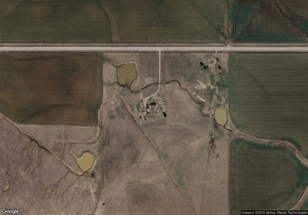
Map
Nearby Homes
- TBD 2580
- TBD Edgewater Park Unit L12-13, B10
- TBD Edgewater Park Unit L23, B4
- TBD Edgewater Park Unit L24, B7
- 1430
- TBD U S Highway 62
- 301 E Mckinley Ave
- 1100 NE King Rd
- 0 E 1410 Rd
- 207 N Hillside Rd
- 1106 E Floyd Ave
- 116 N Lakeside Dr
- 115 N Brookdale
- 13872 NW Stoney Point Rd
- 000 NW Shroyer Rd
- 67 Ash Ave
- 19012 Oklahoma 19
- 5605 NE Snowy Owl Rd
- 0 E Cs 2630 & Cr 1420 Rd Unit 1195810
- 14068 NE Prairie Hill Cir