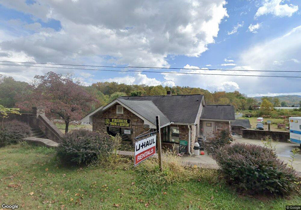
1108 Davidson River Rd Pisgah Forest, NC 28768
Estimated Value: $407,865
3
Beds
1
Bath
1,326
Sq Ft
$308/Sq Ft
Est. Value
About This Home
This home is located at 1108 Davidson River Rd, Pisgah Forest, NC 28768 and is currently estimated at $407,865, approximately $307 per square foot. 1108 Davidson River Rd is a home located in Transylvania County with nearby schools including Brevard Academy and Anchor Baptist Academy.
Ownership History
Date
Name
Owned For
Owner Type
Purchase Details
Closed on
Apr 1, 2024
Sold by
Jefferson Rogers Michael and Baynar Connie
Bought by
Walker Douglas and Walker Melanie
Current Estimated Value
Home Financials for this Owner
Home Financials are based on the most recent Mortgage that was taken out on this home.
Original Mortgage
$380,000
Outstanding Balance
$285,250
Interest Rate
6.9%
Mortgage Type
Seller Take Back
Estimated Equity
$122,615
Purchase Details
Closed on
Jun 1, 2004
Bought by
Rogers Michael J
Create a Home Valuation Report for This Property
The Home Valuation Report is an in-depth analysis detailing your home's value as well as a comparison with similar homes in the area
Home Values in the Area
Average Home Value in this Area
Purchase History
| Date | Buyer | Sale Price | Title Company |
|---|---|---|---|
| Walker Douglas | $395,000 | None Listed On Document | |
| Rogers Michael J | $135,000 | -- |
Source: Public Records
Mortgage History
| Date | Status | Borrower | Loan Amount |
|---|---|---|---|
| Open | Walker Douglas | $380,000 |
Source: Public Records
Tax History Compared to Growth
Tax History
| Year | Tax Paid | Tax Assessment Tax Assessment Total Assessment is a certain percentage of the fair market value that is determined by local assessors to be the total taxable value of land and additions on the property. | Land | Improvement |
|---|---|---|---|---|
| 2025 | $1,845 | $384,070 | $90,510 | $293,560 |
| 2024 | $1,490 | $226,300 | $90,510 | $135,790 |
| 2023 | $1,490 | $226,300 | $90,510 | $135,790 |
| 2022 | $1,490 | $226,300 | $90,510 | $135,790 |
| 2021 | $1,478 | $226,300 | $90,510 | $135,790 |
| 2020 | $1,440 | $206,930 | $0 | $0 |
| 2019 | $1,430 | $206,930 | $0 | $0 |
| 2018 | $1,171 | $206,930 | $0 | $0 |
| 2017 | $1,171 | $206,930 | $0 | $0 |
| 2016 | $1,139 | $206,930 | $0 | $0 |
| 2015 | $904 | $214,300 | $90,510 | $123,790 |
| 2014 | $904 | $214,300 | $90,510 | $123,790 |
Source: Public Records
Map
Nearby Homes
- ACROSS 675 Kayla West Dr W Unit MHP, 9 UNITS
- 200 Riley Ln
- 54 Hillside Heights
- 71 Laurel Mountain Rd
- 57 Big Branch Rd
- 35&61 Ahava Rd
- 226 Pisgah Dr
- 176 Pisgah Dr
- 160 Tanglewood Heights
- TBD NorMcOl Rd
- 1019 Hudlin Gap Rd
- TBD Asheville Hwy
- SH11 Springhouse Trail
- Upper Camptown Rd Unit M106
- Upper Camptown Rd Unit M110
- tbd Springhouse Trail Unit 10
- 63 Evergreen Cove
- 55 Locust Ln
- 0 Springhouse Trail Unit 15 CAR4228686
- 398 NorMcOl Dr
- 1162 Davidson River Rd
- 991 Cemetery Rd
- 929 Cemetery Rd
- 927 Cemetery Rd
- 912 Cemetery Rd
- 934 Cemetery Rd
- 960 Cemetery Rd
- 654 Deavor Rd
- 642 Deavor Rd
- 910 Davidson River Rd
- 578 Hendersonville Hwy
- 892 Cemetery Rd
- 885 Cemetery Rd
- 308 Deavor Rd
- 348 Deavor Rd
- 385 Hendersonville Hwy
- 240 Deavor Rd
- 425 Deavor Rd
- 858 Davidson River Rd
- 367 Hendersonville Hwy