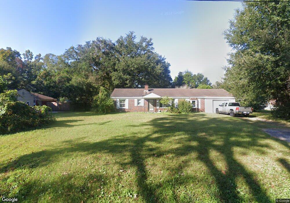
1108 Folly Rd Charleston, SC 29412
James Island NeighborhoodEstimated Value: $620,000 - $1,122,319
2
Beds
1
Bath
2,069
Sq Ft
$373/Sq Ft
Est. Value
About This Home
This home is located at 1108 Folly Rd, Charleston, SC 29412 and is currently estimated at $772,330, approximately $373 per square foot. 1108 Folly Rd is a home located in Charleston County with nearby schools including James Island Elementary School, Camp Road Middle, and Septima P Clark Corporate Academy.
Ownership History
Date
Name
Owned For
Owner Type
Purchase Details
Closed on
May 15, 2018
Sold by
Orozco Ignacio A and Alcala Ignacio Orozco
Bought by
James Island Public Service District
Current Estimated Value
Purchase Details
Closed on
Jun 24, 2014
Sold by
Ventura Loreto
Bought by
Orozco Ignacio A
Home Financials for this Owner
Home Financials are based on the most recent Mortgage that was taken out on this home.
Original Mortgage
$52,000
Interest Rate
4.17%
Mortgage Type
New Conventional
Create a Home Valuation Report for This Property
The Home Valuation Report is an in-depth analysis detailing your home's value as well as a comparison with similar homes in the area
Home Values in the Area
Average Home Value in this Area
Purchase History
| Date | Buyer | Sale Price | Title Company |
|---|---|---|---|
| James Island Public Service District | $590,000 | None Available | |
| Orozco Ignacio A | -- | -- |
Source: Public Records
Mortgage History
| Date | Status | Borrower | Loan Amount |
|---|---|---|---|
| Previous Owner | Orozco Ignacio A | $52,000 |
Source: Public Records
Tax History Compared to Growth
Tax History
| Year | Tax Paid | Tax Assessment Tax Assessment Total Assessment is a certain percentage of the fair market value that is determined by local assessors to be the total taxable value of land and additions on the property. | Land | Improvement |
|---|---|---|---|---|
| 2024 | $198 | $0 | $0 | $0 |
| 2023 | $198 | $0 | $0 | $0 |
| 2022 | $147 | $0 | $0 | $0 |
| 2021 | $147 | $0 | $0 | $0 |
| 2020 | $147 | $0 | $0 | $0 |
| 2019 | $147 | $0 | $0 | $0 |
| 2017 | $1,055 | $7,570 | $0 | $0 |
| 2016 | $1,013 | $7,570 | $0 | $0 |
| 2015 | $2,727 | $11,350 | $0 | $0 |
| 2014 | $968 | $0 | $0 | $0 |
| 2011 | -- | $0 | $0 | $0 |
Source: Public Records
Map
Nearby Homes
- 1047 Bradford Ave
- 1056 Yorktown Dr
- 1815 Walsingham Way
- 1039 Yorktown Dr
- 1152 Bradford Ave
- 1153 Pauline Ave
- 1030 Pauline Ave
- 1764 Ashworth Ln
- 1182 Folly Rd Unit A,B,C,D
- 1827 S Mayflower Dr
- 1814 S Mayflower Dr
- 0 Turkey Pen Rd Unit 16023532
- 1206 Folly Rd
- 1135 Bellwood Rd
- 1014 Arborwood Dr
- 1662 Dexter Ln
- 1453 Camp Rd
- 1 S Anderson Ave
- 1530 Fort Johnson Rd Unit 1E
- 1530 Fort Johnson Rd Unit 1L
- 1104 Folly Rd
- 1109 Bradford Ave
- 1115 Bradford Ave
- 1103 Bradford Ave
- 1122 Folly Rd
- 1119 Bradford Ave
- 1612 Prescott St
- 1126 Folly Rd
- 1606 Prescott St
- 1028 Bradford Ave Unit C
- 1125 Bradford Ave
- 1534 Newbury St
- 1055 Bradford Ave
- 1066 Bradford Ave
- 1128 Pittsford Cir
- 1130 Folly Rd
- 1062 Bradford Ave
- 1058 Bradford Ave
- 1058 Bradford Ave
- 1058 Bradford Ave Unit C