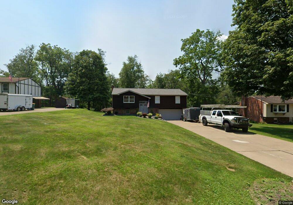
1108 Mohawk Rd Mc Donald, PA 15057
Estimated Value: $274,000 - $434,000
3
Beds
2
Baths
1,432
Sq Ft
$224/Sq Ft
Est. Value
About This Home
This home is located at 1108 Mohawk Rd, Mc Donald, PA 15057 and is currently estimated at $320,275, approximately $223 per square foot. 1108 Mohawk Rd is a home located in Allegheny County with nearby schools including South Fayette Elementary School, South Fayette Intermediate School, and South Fayette Middle School.
Ownership History
Date
Name
Owned For
Owner Type
Purchase Details
Closed on
Jan 7, 2008
Sold by
Mullins Stanley J
Bought by
Kapton Leonard V
Current Estimated Value
Home Financials for this Owner
Home Financials are based on the most recent Mortgage that was taken out on this home.
Original Mortgage
$185,000
Outstanding Balance
$116,837
Interest Rate
6.17%
Mortgage Type
New Conventional
Estimated Equity
$203,438
Create a Home Valuation Report for This Property
The Home Valuation Report is an in-depth analysis detailing your home's value as well as a comparison with similar homes in the area
Home Values in the Area
Average Home Value in this Area
Purchase History
| Date | Buyer | Sale Price | Title Company |
|---|---|---|---|
| Kapton Leonard V | $185,000 | -- |
Source: Public Records
Mortgage History
| Date | Status | Borrower | Loan Amount |
|---|---|---|---|
| Open | Kapton Leonard V | $185,000 |
Source: Public Records
Tax History
| Year | Tax Paid | Tax Assessment Tax Assessment Total Assessment is a certain percentage of the fair market value that is determined by local assessors to be the total taxable value of land and additions on the property. | Land | Improvement |
|---|---|---|---|---|
| 2025 | $4,390 | $121,400 | $28,900 | $92,500 |
| 2024 | $4,390 | $121,400 | $28,900 | $92,500 |
| 2023 | $4,390 | $121,400 | $28,900 | $92,500 |
| 2022 | $4,390 | $121,400 | $28,900 | $92,500 |
| 2021 | $574 | $121,400 | $28,900 | $92,500 |
| 2020 | $4,390 | $121,400 | $28,900 | $92,500 |
| 2019 | $4,390 | $121,400 | $28,900 | $92,500 |
| 2017 | $4,359 | $121,400 | $28,900 | $92,500 |
Source: Public Records
Map
Nearby Homes
- 0000 Battle Ridge Rd
- 6042 Middlefield Dr
- 1003 Stonegate Dr
- 3061 Old Oakdale Rd
- 4528 Walnut Ridge Cir
- 6406 Interlaken Dr
- 2907 Pinnacle Dr
- 4462 Walnut Ridge Cir
- 4454 Walnut Ridge Cir
- 4442 Yorktown Dr
- 0 Reed St
- 8403 David Dr
- 2041 Field Stone Dr
- 2035 Field Stone Dr
- 5006 Azalea Dr
- 5003 Azalea Dr
- 5005 Azalea Dr
- 5001 Azalea Dr
- 5002 Azalea Dr
- 5004 Azalea Dr
- 1106 Mohawk Rd
- 1110 Mohawk Rd
- 1109 Mohawk Rd
- 1112 Mohawk Rd
- 1111 Mohawk Rd
- 4167 Battleridge Rd
- 1107 Mohawk Rd
- 4163 Battleridge Rd
- 1104 Mohawk Rd
- 1113 Mohawk Rd
- 1113 Mohawk Rd
- 4161 Battleridge Rd
- 4169 Battleridge Rd
- 1102 Mohawk Rd
- 1115 Mohawk Rd
- 1117 Mohawk Rd
- 1143 Mohawk Rd
- 1145 Mohawk Rd
- 1123 Mohawk Rd
- 1147 Mohawk Rd
Your Personal Tour Guide
Ask me questions while you tour the home.