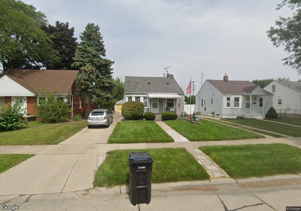
1108 Mulberry St Wyandotte, MI 48192
Estimated Value: $151,066 - $180,000
--
Bed
--
Bath
940
Sq Ft
$169/Sq Ft
Est. Value
About This Home
This home is located at 1108 Mulberry St, Wyandotte, MI 48192 and is currently estimated at $159,017, approximately $169 per square foot. 1108 Mulberry St is a home located in Wayne County with nearby schools including Washington Elementary School, Woodrow Wilson School, and Roosevelt High School.
Ownership History
Date
Name
Owned For
Owner Type
Purchase Details
Closed on
Sep 3, 2021
Sold by
Lenard Michelle C and Lenard Joseph M
Bought by
Lenard Michelle C and Lenard Joseph M
Current Estimated Value
Purchase Details
Closed on
Aug 7, 2013
Sold by
Lenard Donna Jean and Lenard Michelle C
Bought by
Lenard Donna Jean and Lenard Michelle C
Purchase Details
Closed on
Mar 18, 2010
Sold by
Lenard Donna Jean and Kieler Edward G
Bought by
Lenard Donna Jean and Lenard Michelle C
Create a Home Valuation Report for This Property
The Home Valuation Report is an in-depth analysis detailing your home's value as well as a comparison with similar homes in the area
Home Values in the Area
Average Home Value in this Area
Purchase History
| Date | Buyer | Sale Price | Title Company |
|---|---|---|---|
| Lenard Michelle C | -- | None Available | |
| Lenard Donna Jean | -- | Minnesota Title Agency | |
| Lenard Donna Jean | -- | None Available |
Source: Public Records
Tax History Compared to Growth
Tax History
| Year | Tax Paid | Tax Assessment Tax Assessment Total Assessment is a certain percentage of the fair market value that is determined by local assessors to be the total taxable value of land and additions on the property. | Land | Improvement |
|---|---|---|---|---|
| 2025 | $1,810 | $72,700 | $0 | $0 |
| 2024 | $1,810 | $70,000 | $0 | $0 |
| 2023 | $1,726 | $65,000 | $0 | $0 |
| 2022 | $1,999 | $59,100 | $0 | $0 |
| 2021 | $1,959 | $54,700 | $0 | $0 |
| 2020 | $1,932 | $49,200 | $0 | $0 |
| 2019 | $1,905 | $43,400 | $0 | $0 |
| 2018 | $1,521 | $40,500 | $0 | $0 |
| 2017 | $666 | $40,500 | $0 | $0 |
| 2016 | $1,840 | $37,500 | $0 | $0 |
| 2015 | $3,282 | $34,800 | $0 | $0 |
| 2013 | $3,180 | $31,800 | $0 | $0 |
| 2012 | $1,478 | $33,300 | $7,900 | $25,400 |
Source: Public Records
Map
Nearby Homes
- 1116 Mulberry St
- 1092 Mulberry St
- 1100 Mulberry St
- 1084 Mulberry St
- 2249 12th St
- 1076 Mulberry St
- 1101 Mulberry St
- 1143 Cedar St
- 2241 12th St
- 1121 Mulberry St
- 1109 Mulberry St
- 1133 Cedar St
- 1093 Mulberry St
- 1066 Mulberry St
- 2233 12th St
- 1077 Mulberry St
- 1115 Cedar St
- 1085 Mulberry St
- 1125 Cedar St
- 2242 12th St