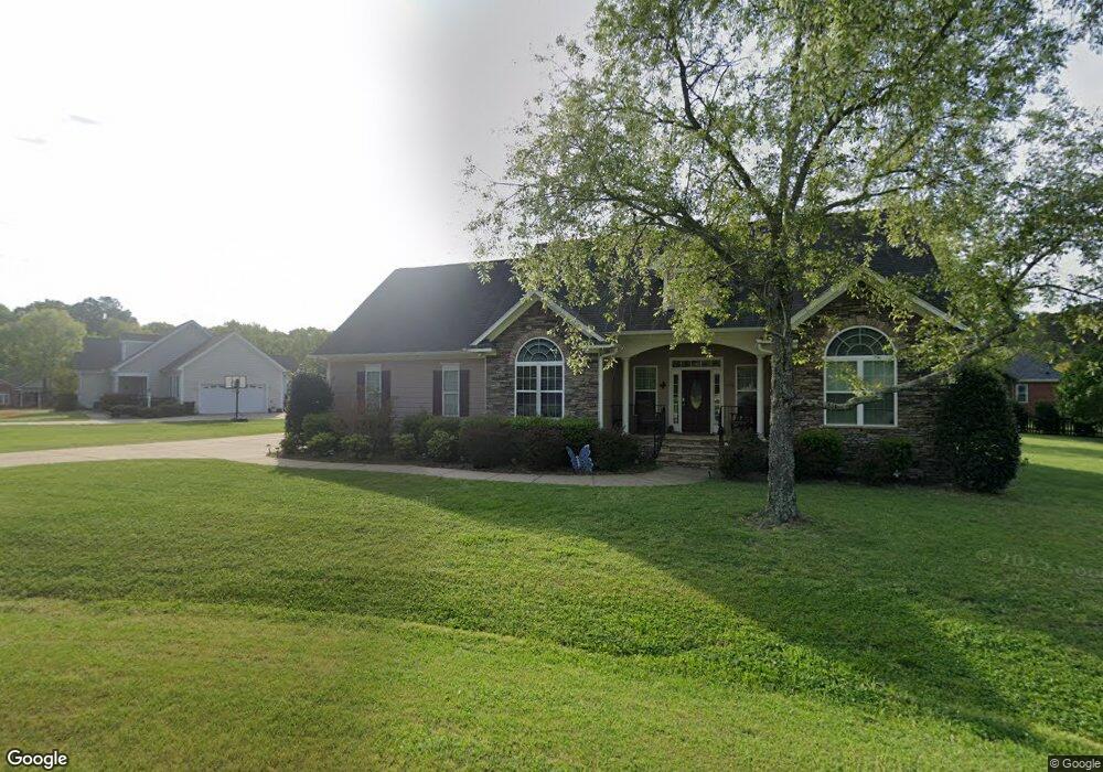
1108 Old Memorial Cir Garner, NC 27529
Estimated Value: $502,012 - $585,000
3
Beds
3
Baths
2,187
Sq Ft
$242/Sq Ft
Est. Value
About This Home
This home is located at 1108 Old Memorial Cir, Garner, NC 27529 and is currently estimated at $530,003, approximately $242 per square foot. 1108 Old Memorial Cir is a home located in Wake County with nearby schools including Aversboro Elementary, East Garner Middle School, and South Garner High.
Ownership History
Date
Name
Owned For
Owner Type
Purchase Details
Closed on
Aug 16, 2011
Sold by
Asset Development Inc
Bought by
Anderson Christopher and Anderson Deborah C
Current Estimated Value
Home Financials for this Owner
Home Financials are based on the most recent Mortgage that was taken out on this home.
Original Mortgage
$260,333
Outstanding Balance
$179,999
Interest Rate
4.54%
Mortgage Type
VA
Estimated Equity
$350,004
Purchase Details
Closed on
Oct 27, 2010
Sold by
Thomas Robert B and Thomas Amie D
Bought by
Asset Development Inc
Purchase Details
Closed on
Oct 20, 1999
Sold by
T H Turner Farms Inc
Bought by
Thomas Robert Brian and Thomas Amie D
Create a Home Valuation Report for This Property
The Home Valuation Report is an in-depth analysis detailing your home's value as well as a comparison with similar homes in the area
Home Values in the Area
Average Home Value in this Area
Purchase History
| Date | Buyer | Sale Price | Title Company |
|---|---|---|---|
| Anderson Christopher | $252,500 | None Available | |
| Asset Development Inc | $30,500 | None Available | |
| Thomas Robert Brian | $30,000 | -- |
Source: Public Records
Mortgage History
| Date | Status | Borrower | Loan Amount |
|---|---|---|---|
| Open | Anderson Christopher | $260,333 |
Source: Public Records
Tax History Compared to Growth
Tax History
| Year | Tax Paid | Tax Assessment Tax Assessment Total Assessment is a certain percentage of the fair market value that is determined by local assessors to be the total taxable value of land and additions on the property. | Land | Improvement |
|---|---|---|---|---|
| 2025 | $3,005 | $466,647 | $85,000 | $381,647 |
| 2024 | $2,918 | $466,647 | $85,000 | $381,647 |
| 2023 | $2,367 | $301,034 | $42,000 | $259,034 |
| 2022 | $2,194 | $301,034 | $42,000 | $259,034 |
| 2021 | $2,135 | $301,034 | $42,000 | $259,034 |
| 2020 | $2,100 | $301,034 | $42,000 | $259,034 |
| 2019 | $2,118 | $256,907 | $40,000 | $216,907 |
| 2018 | $1,948 | $256,907 | $40,000 | $216,907 |
| 2017 | $1,847 | $256,907 | $40,000 | $216,907 |
| 2016 | $1,809 | $256,907 | $40,000 | $216,907 |
| 2015 | $1,903 | $271,144 | $60,000 | $211,144 |
| 2014 | $1,804 | $271,144 | $60,000 | $211,144 |
Source: Public Records
Map
Nearby Homes
- 1208 Turner Farms Rd
- 1004 Cabin Hill Way
- 9017 Hunterfox Ct
- 1036 Blue River Farm Dr
- 941 Grand Mesa Dr
- 937 Grand Mesa Dr
- 933 Grand Mesa Dr
- 929 Grand Mesa Dr
- 925 Grand Mesa Dr
- 921 Grand Mesa Dr
- 917 Grand Mesa Dr
- 913 Grand Mesa Dr
- 617 Red River Dr
- 909 Grand Mesa Dr
- 905 Grand Mesa Dr
- 625 Red River Dr
- 629 Red River Dr
- 633 Red River Dr
- 637 Red River Dr
- 604 Red River Dr
- 1121 Golden Grain Rd
- 5508 Simmons Dr
- 1116 Old Memorial Cir
- 1117 Golden Grain Rd
- 5501 Rolling Field Dr
- 5512 Simmons Dr
- 5501 Quails Call Ct
- 5500 Quails Call Ct
- 1120 Golden Grain Rd
- 1116 Golden Grain Rd
- 1124 Golden Grain Rd
- 5505 Simmons Dr
- 5509 Simmons Dr
- 1109 Golden Grain Rd
- 5500 Rolling Field Dr
- 5520 Simmons Dr
- 5508 Rolling Field Dr
- 1112 Golden Grain Rd
- 1128 Golden Grain Rd
- 5513 Simmons Dr
