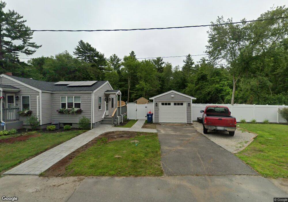
1108 Pequot St New Bedford, MA 02745
Estimated Value: $604,000 - $789,000
3
Beds
3
Baths
2,088
Sq Ft
$325/Sq Ft
Est. Value
About This Home
This home is located at 1108 Pequot St, New Bedford, MA 02745 and is currently estimated at $677,925, approximately $324 per square foot. 1108 Pequot St is a home with nearby schools including Casimir Pulaski Elementary School, Normandin Middle School, and New Bedford High School.
Ownership History
Date
Name
Owned For
Owner Type
Purchase Details
Closed on
May 5, 2023
Sold by
Oliveira Ronald
Bought by
Goncalves Edson D and Goncalves Catherine E
Current Estimated Value
Home Financials for this Owner
Home Financials are based on the most recent Mortgage that was taken out on this home.
Original Mortgage
$464,000
Outstanding Balance
$451,168
Interest Rate
6.42%
Mortgage Type
Purchase Money Mortgage
Estimated Equity
$226,757
Create a Home Valuation Report for This Property
The Home Valuation Report is an in-depth analysis detailing your home's value as well as a comparison with similar homes in the area
Home Values in the Area
Average Home Value in this Area
Purchase History
| Date | Buyer | Sale Price | Title Company |
|---|---|---|---|
| Goncalves Edson D | $580,000 | None Available | |
| Goncalves Edson D | $580,000 | None Available |
Source: Public Records
Mortgage History
| Date | Status | Borrower | Loan Amount |
|---|---|---|---|
| Open | Goncalves Edson D | $464,000 | |
| Closed | Goncalves Edson D | $464,000 |
Source: Public Records
Tax History Compared to Growth
Tax History
| Year | Tax Paid | Tax Assessment Tax Assessment Total Assessment is a certain percentage of the fair market value that is determined by local assessors to be the total taxable value of land and additions on the property. | Land | Improvement |
|---|---|---|---|---|
| 2025 | $8,023 | $709,400 | $318,500 | $390,900 |
| 2024 | $8,852 | $737,700 | $459,300 | $278,400 |
| 2023 | $4,068 | $284,700 | $284,700 | $0 |
| 2022 | $4,118 | $265,000 | $265,000 | $0 |
| 2021 | $4,131 | $265,000 | $265,000 | $0 |
| 2020 | $4,168 | $257,900 | $257,900 | $0 |
| 2019 | $4,085 | $248,000 | $248,000 | $0 |
| 2018 | $4,124 | $248,000 | $248,000 | $0 |
| 2017 | $4,057 | $243,100 | $243,100 | $0 |
| 2016 | $3,926 | $238,100 | $238,100 | $0 |
| 2015 | $3,591 | $228,300 | $228,300 | $0 |
| 2014 | $3,385 | $223,300 | $223,300 | $0 |
Source: Public Records
Map
Nearby Homes
- 1069 Cherokee St
- 16 Swallow St
- 13 Luscomb Ln
- 64 Blaze Rd
- 34 Poplar Rd
- 26 Blueberry Dr
- 210 Heritage Dr
- 1573 Braley Rd Unit 39
- 1063 Westgate St
- 145 Heritage Dr
- 1599 Braley Rd Unit 68
- SS Charbonneau Ln
- 4597 Acushnet Ave
- 62 Longview Rd
- 2 Woodland Rd
- 8 Holly Tree Ln
- 700 Pine Hill Dr
- 595 Quanapoag Rd
- 888 Hillcrest Rd
- 1269 Bartlett St
- 1126 Pequot St
- 1110 Pequot St
- 1102 Pequot St
- 1132 Pequot St
- 1092 Pequot St
- 1119 Pequot St
- 1115 Pequot St
- 1125 Pequot St
- 1109 Pequot St
- 1135 Pequot St
- 989B Betty Ln
- 1101 Pequot St
- 1095 Pequot St
- 1122 Cherokee St
- 1118 Cherokee St
- 1128 Cherokee St
- 1112 Cherokee St Unit 1114
- 1085 Pequot St
- 1098 Cherokee St
- 1210 Cherokee St