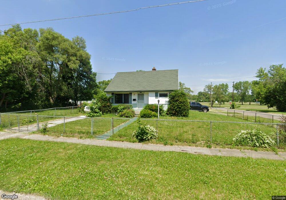
1108 W Moore St Flint, MI 48504
Sterling and Myrtle NeighborhoodEstimated Value: $48,000 - $85,000
2
Beds
1
Bath
772
Sq Ft
$86/Sq Ft
Est. Value
About This Home
This home is located at 1108 W Moore St, Flint, MI 48504 and is currently estimated at $66,500, approximately $86 per square foot. 1108 W Moore St is a home located in Genesee County with nearby schools including Brownell STEM Academy, The New Standard Academy, and Eagle's Nest Academy.
Ownership History
Date
Name
Owned For
Owner Type
Purchase Details
Closed on
Jan 14, 2014
Sold by
State Of Michigan
Bought by
Genesee County Land Bank Authority
Current Estimated Value
Purchase Details
Closed on
Dec 9, 2013
Sold by
Genesee County Land Bank Authority
Bought by
State Of Michigan and Land Bank Fast Track Authority
Purchase Details
Closed on
Dec 20, 2012
Sold by
Cherry Deborah L
Bought by
Genesee County Land Bank
Purchase Details
Closed on
Jan 6, 2003
Sold by
Department Of Natural Resources
Bought by
Stribling Raynell A
Home Financials for this Owner
Home Financials are based on the most recent Mortgage that was taken out on this home.
Original Mortgage
$41,600
Interest Rate
9.2%
Mortgage Type
Purchase Money Mortgage
Create a Home Valuation Report for This Property
The Home Valuation Report is an in-depth analysis detailing your home's value as well as a comparison with similar homes in the area
Home Values in the Area
Average Home Value in this Area
Purchase History
| Date | Buyer | Sale Price | Title Company |
|---|---|---|---|
| Genesee County Land Bank Authority | -- | None Available | |
| State Of Michigan | -- | None Available | |
| Genesee County Land Bank | -- | None Available | |
| Stribling Raynell A | -- | Guaranty Title Company |
Source: Public Records
Mortgage History
| Date | Status | Borrower | Loan Amount |
|---|---|---|---|
| Previous Owner | Stribling Raynell A | $41,600 |
Source: Public Records
Tax History
| Year | Tax Paid | Tax Assessment Tax Assessment Total Assessment is a certain percentage of the fair market value that is determined by local assessors to be the total taxable value of land and additions on the property. | Land | Improvement |
|---|---|---|---|---|
| 2025 | -- | $0 | $0 | $0 |
| 2024 | -- | $0 | $0 | $0 |
| 2023 | -- | $0 | $0 | $0 |
| 2022 | $0 | $0 | $0 | $0 |
| 2021 | $0 | $0 | $0 | $0 |
| 2020 | $0 | $0 | $0 | $0 |
| 2019 | $0 | $0 | $0 | $0 |
| 2018 | $0 | $0 | $0 | $0 |
| 2017 | $0 | $0 | $0 | $0 |
| 2016 | $0 | $0 | $0 | $0 |
| 2015 | -- | $0 | $0 | $0 |
| 2014 | -- | $0 | $0 | $0 |
| 2012 | -- | $8,500 | $0 | $0 |
Source: Public Records
Map
Nearby Homes
- 4306 Berger Dr
- 1315 W Myrtle Ave
- 3802 Milbourne Ave
- 3722 Sterling St
- 4539 Trumbull Dr
- 606 W Stewart Ave
- 702/718 W Flint Park Blvd
- 4808 Edwards Ave
- 4702 Warrington Dr
- 3808 Comstock Ave
- 3422 Race St
- 3420 Fleming Rd
- 2013 Canniff St
- 3517 Leerda St
- 3505 Leerda St
- 3419 Leerda St
- 3413 Leerda St
- 3207 Milbourne Ave
- 3221 Burgess St
- 1909 Cherrylawn Dr
- 1102 W Moore St
- 1116 W Moore St
- 1109 W Stewart Ave
- 1113 W Stewart Ave
- 1120 W Moore St
- 1123 W Stewart Ave
- 1119 W Stewart Ave
- 4134 Lawndale Ave
- 1018 W Moore St
- 4130 Lawndale Ave
- 1202 W Moore St
- 4133 Proctor Ave
- 4125 Proctor Ave
- 1013 W Moore St
- 4126 Lawndale Ave
- 4129 Proctor Ave
- 1206 W Moore St
- 1201 W Stewart Ave
- 4133 Lawndale Ave
- 4121 Proctor Ave
Your Personal Tour Guide
Ask me questions while you tour the home.