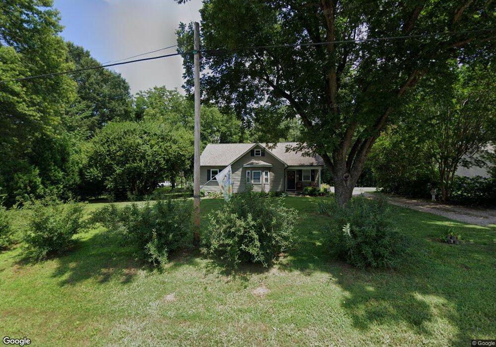
1108 Webb Rd Salisbury, NC 28146
Estimated Value: $229,218 - $349,000
Studio
1
Bath
1,902
Sq Ft
$147/Sq Ft
Est. Value
About This Home
This home is located at 1108 Webb Rd, Salisbury, NC 28146 and is currently estimated at $278,805, approximately $146 per square foot. 1108 Webb Rd is a home located in Rowan County with nearby schools including China Grove Elementary School, Southeast Middle School, and Jesse C Carson High School.
Ownership History
Date
Name
Owned For
Owner Type
Purchase Details
Closed on
Nov 4, 2021
Sold by
Trester Lynn L
Bought by
Trester John L and Trester Natalie Michelle
Current Estimated Value
Purchase Details
Closed on
Jun 17, 2016
Sold by
Trester John L and Trester Lynn Drye
Bought by
Trester Lynn Drye
Purchase Details
Closed on
Mar 14, 2008
Sold by
Koon Stephen
Bought by
Premier Holding Co Llc
Home Financials for this Owner
Home Financials are based on the most recent Mortgage that was taken out on this home.
Original Mortgage
$63,750
Interest Rate
5.63%
Mortgage Type
Unknown
Create a Home Valuation Report for This Property
The Home Valuation Report is an in-depth analysis detailing your home's value as well as a comparison with similar homes in the area
Purchase History
| Date | Buyer | Sale Price | Title Company |
|---|---|---|---|
| Trester John L | -- | None Available | |
| Trester Lynn Drye | -- | None Available | |
| Trester Lynn Drye | $107,000 | None Available | |
| Premier Holding Co Llc | $75,000 | None Available |
Source: Public Records
Mortgage History
| Date | Status | Borrower | Loan Amount |
|---|---|---|---|
| Previous Owner | Premier Holding Co Llc | $63,750 |
Source: Public Records
Tax History
| Year | Tax Paid | Tax Assessment Tax Assessment Total Assessment is a certain percentage of the fair market value that is determined by local assessors to be the total taxable value of land and additions on the property. | Land | Improvement |
|---|---|---|---|---|
| 2025 | $1,045 | $155,974 | $36,784 | $119,190 |
| 2024 | $1,045 | $155,974 | $36,784 | $119,190 |
| 2023 | $1,045 | $155,974 | $36,784 | $119,190 |
| 2022 | $877 | $117,337 | $36,784 | $80,553 |
| 2021 | $868 | $117,337 | $36,784 | $80,553 |
| 2020 | $877 | $117,337 | $36,784 | $80,553 |
| 2019 | $868 | $117,337 | $36,784 | $80,553 |
| 2018 | $785 | $107,733 | $36,784 | $70,949 |
| 2017 | $785 | $107,733 | $36,784 | $70,949 |
| 2016 | $785 | $107,733 | $36,784 | $70,949 |
| 2015 | $797 | $107,733 | $36,784 | $70,949 |
| 2014 | $744 | $102,294 | $24,369 | $77,925 |
Source: Public Records
Map
Nearby Homes
- 0 Brookfield Cir Unit CAR4292885
- 1140 Peeler Rd
- 1352 Eva Ln
- 5650 Bertie Ave
- 355 Swink Ave
- 620 Mount Hope Church Rd
- 1080 Beckham Rd
- 1060 Beckham Rd
- 1160 Fox Chase Ct
- 1395 Safrit Rd
- 6255 Meadow Ln
- 735 Grace Church Rd
- 425 Acorn Oaks Dr
- 137 Stafford Estates Dr
- 1675 N Main St
- 228 Hollybrook Ct
- 823 Glover Rd
- 450 Black Bear St Unit 149p
- 845 Saint Paul Church Rd
- 410 Black Bear St Unit 153p
Your Personal Tour Guide
Ask me questions while you tour the home.