11080 Mumby Cir Anchorage, AK 99516
Mid-Hillside NeighborhoodEstimated Value: $531,000 - $578,369
3
Beds
3
Baths
1,272
Sq Ft
$438/Sq Ft
Est. Value
About This Home
This home is located at 11080 Mumby Cir, Anchorage, AK 99516 and is currently estimated at $557,123, approximately $437 per square foot. 11080 Mumby Cir is a home located in Anchorage Municipality with nearby schools including O'Malley Elementary School, Hanshew Middle School, and Service High School.
Ownership History
Date
Name
Owned For
Owner Type
Purchase Details
Closed on
Jun 18, 2013
Sold by
Burns Weddleton Sharon
Bought by
Rearden Sterling M
Current Estimated Value
Home Financials for this Owner
Home Financials are based on the most recent Mortgage that was taken out on this home.
Original Mortgage
$345,941
Outstanding Balance
$244,873
Interest Rate
3.38%
Mortgage Type
FHA
Estimated Equity
$312,250
Purchase Details
Closed on
Aug 7, 1998
Sold by
Riordan Joseph and Riordan Brenda S
Bought by
Burns-Weddleton Sharon
Create a Home Valuation Report for This Property
The Home Valuation Report is an in-depth analysis detailing your home's value as well as a comparison with similar homes in the area
Home Values in the Area
Average Home Value in this Area
Purchase History
| Date | Buyer | Sale Price | Title Company |
|---|---|---|---|
| Rearden Sterling M | -- | Auta | |
| Burns-Weddleton Sharon | -- | -- | |
| Burns-Weddleton Sharon | -- | -- |
Source: Public Records
Mortgage History
| Date | Status | Borrower | Loan Amount |
|---|---|---|---|
| Open | Rearden Sterling M | $345,941 | |
| Closed | Burns-Weddleton Sharon | $0 |
Source: Public Records
Tax History Compared to Growth
Tax History
| Year | Tax Paid | Tax Assessment Tax Assessment Total Assessment is a certain percentage of the fair market value that is determined by local assessors to be the total taxable value of land and additions on the property. | Land | Improvement |
|---|---|---|---|---|
| 2025 | $5,335 | $526,100 | $145,600 | $380,500 |
| 2024 | $5,335 | $467,700 | $137,800 | $329,900 |
| 2023 | $6,165 | $435,700 | $132,000 | $303,700 |
| 2022 | $5,295 | $420,300 | $129,600 | $290,700 |
| 2021 | $6,250 | $404,000 | $129,600 | $274,400 |
| 2020 | $4,824 | $396,600 | $129,600 | $267,000 |
| 2019 | $4,659 | $388,800 | $129,600 | $259,200 |
| 2018 | $4,257 | $359,800 | $129,900 | $229,900 |
| 2017 | $4,575 | $360,400 | $124,200 | $236,200 |
| 2016 | $4,196 | $372,900 | $124,200 | $248,700 |
| 2015 | $4,196 | $368,000 | $120,000 | $248,000 |
| 2014 | $4,196 | $346,700 | $119,700 | $227,000 |
Source: Public Records
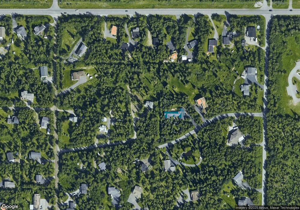
Map
Nearby Homes
- 6815 Double Tree Ct
- 6550 Rockridge Dr
- 11840 Coughlan Way
- 6411 Ridge Tree Cir
- 11800 Nebesna Dr
- 11831 Moose Rd
- 5900 Orth Cir
- L1 Downey Finch Dr
- L3 Totem Rd
- 10960 Totem Rd
- 0 Rd
- 6460 Limestone Cir
- 12531 Freitag Cir
- 12601 von Scheben Dr
- 6801 Teresa Cir
- 11721 Wranglers Way
- L7 Panorama Dr
- L13 Panorama Dr
- L3 Panorama Dr
- L6 Panorama Dr
- 6801 Macbeth Dr
- 6655 Macbeth Dr
- 6861 Macbeth Dr
- 6700 Macbeth Dr
- 6800 Macbeth Dr
- 6600 Macbeth Dr
- 6760 Omalley Rd
- 11001 Ridgecrest Dr
- 6800 Omalley Rd
- 6800 O'Malley Rd
- 10911 Ridgecrest Dr
- 6860 Omalley Rd
- 11141 Briggs Ct
- 6740 Omalley Rd
- 11000 Stony Brook Dr
- 11161 Briggs Ct
- 6700 Omalley Rd
- 000 Briggs Blvd
- 11121 Briggs Ct
- 6640 Omalley Rd