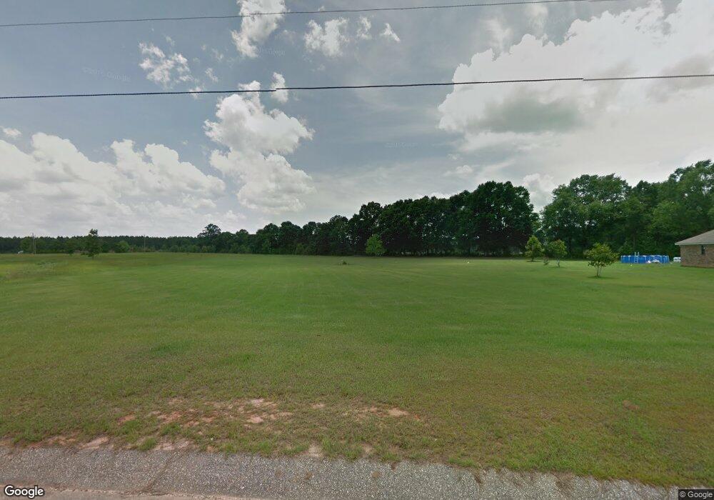
11081 Sams Rd Chunchula, AL 36521
Estimated Value: $155,000 - $259,000
Studio
--
Bath
1,995
Sq Ft
$108/Sq Ft
Est. Value
About This Home
This home is located at 11081 Sams Rd, Chunchula, AL 36521 and is currently estimated at $216,000, approximately $108 per square foot. 11081 Sams Rd is a home with nearby schools including McDavid-Jones Elementary School, Lott Middle School, and Citronelle High School.
Ownership History
Date
Name
Owned For
Owner Type
Purchase Details
Closed on
Jan 12, 2022
Sold by
John Howard Brewer and John Geraldine Brewer
Bought by
Roe Chester Corbitt and Roe Rosemary
Current Estimated Value
Purchase Details
Closed on
Jun 9, 2008
Sold by
Brewer John H and Brewer Geraldine
Bought by
Brewer John H and Brewer Geraldine
Purchase Details
Closed on
Jun 7, 2007
Sold by
Rosson Morton A and Rosson Patricia H
Bought by
Brewer John H and Brewer Geraldine
Purchase Details
Closed on
May 27, 2005
Sold by
Brewer John H and Brewer Geraldine
Bought by
Rosson Morton A and Rosson Patricia H
Home Financials for this Owner
Home Financials are based on the most recent Mortgage that was taken out on this home.
Original Mortgage
$24,000
Interest Rate
5.74%
Mortgage Type
Seller Take Back
Purchase Details
Closed on
Jun 19, 1999
Sold by
Mcfarland H L
Bought by
Brewer John H and Brewer Geraldine
Create a Home Valuation Report for This Property
The Home Valuation Report is an in-depth analysis detailing your home's value as well as a comparison with similar homes in the area
Purchase History
| Date | Buyer | Sale Price | Title Company |
|---|---|---|---|
| Roe Chester Corbitt | $25,000 | None Listed On Document | |
| Brewer John H | $20,400 | None Available | |
| Brewer John H | $25,000 | None Available | |
| Rosson Morton A | $25,000 | -- | |
| Brewer John H | $22,700 | -- |
Source: Public Records
Mortgage History
| Date | Status | Borrower | Loan Amount |
|---|---|---|---|
| Previous Owner | Rosson Morton A | $24,000 |
Source: Public Records
Tax History Compared to Growth
Tax History
| Year | Tax Paid | Tax Assessment Tax Assessment Total Assessment is a certain percentage of the fair market value that is determined by local assessors to be the total taxable value of land and additions on the property. | Land | Improvement |
|---|---|---|---|---|
| 2025 | -- | $14,060 | $2,750 | $11,310 |
| 2024 | -- | $13,280 | $2,500 | $10,780 |
| 2023 | $661 | $13,620 | $2,700 | $10,920 |
| 2022 | $253 | $5,220 | $5,220 | $0 |
| 2021 | $252 | $5,200 | $5,200 | $0 |
| 2020 | $252 | $5,200 | $5,200 | $0 |
| 2019 | $252 | $5,200 | $0 | $0 |
| 2018 | $252 | $5,200 | $0 | $0 |
| 2017 | $252 | $5,200 | $0 | $0 |
| 2016 | $252 | $5,200 | $0 | $0 |
| 2013 | $252 | $5,200 | $0 | $0 |
Source: Public Records
Map
Nearby Homes
- 0 Lott Rd Unit 7291921
- 0 Lott Rd Unit 7264824
- 0 Lott Rd Unit 7291952
- 0 Lott Rd Unit 7291922
- 0 Lott Rd Unit 7311318
- 0 Lott Rd Unit 7370821
- 10051 Sweetwater Dr N
- 11700 Earl Booth Road Extension
- 11375 Spring Lake Rd E
- 12240 Mason Ferry Rd
- 10936 Brighton Dr W
- 0 Brighton Dr S Unit 7646491
- 10926 Brighton Dr S
- 10916 Brighton Dr S
- 10926 Brighton Dr W
- 10916 Brighton Dr W
- 10979 Brighton Dr E
- 10641 Lott Cemetery Rd
- 10857 Brighton Dr E
- 0 Dreamway Dr Unit 7291958
- 11071 Sams Rd Unit 19
- 11071 Sams Rd
- 0 Sams Rd Unit 346493
- 0 Sams Rd Unit 7221829
- 0 Sams Rd Unit 15 0636171
- 0 Sams Rd Unit 14 0636169
- 0 Sams Rd Unit 13 0636168
- 0 Sams Rd Unit 15 0658016
- 0 Sams Rd Unit 14 0658007
- 0 Sams Rd Unit 13 0657978
- 12117 Lanier Ln
- 11091 Sams Rd
- 11091 Sams Rd Unit 16
- 11091 Sams Rd Unit 17
- 12097 Lanier Ln
- 11101 Sams Rd
- 12225 Lott Rd
- 11103 Catherine Rd Unit 27
- 12191 Mcfarland Rd
- 0 Lott Rd Unit 4 0186911
