11083 Heathrow Ave Spring Hill, FL 34609
Estimated Value: $269,911 - $285,000
3
Beds
2
Baths
1,687
Sq Ft
$165/Sq Ft
Est. Value
About This Home
This home is located at 11083 Heathrow Ave, Spring Hill, FL 34609 and is currently estimated at $278,978, approximately $165 per square foot. 11083 Heathrow Ave is a home located in Hernando County with nearby schools including Suncoast Elementary School, Powell Middle School, and Frank W. Springstead High School.
Ownership History
Date
Name
Owned For
Owner Type
Purchase Details
Closed on
May 7, 2011
Sold by
Cobb Edwin M and Cobb Stefanie Lynn
Bought by
Plocica Anthony and Plocica Suzanne K
Current Estimated Value
Purchase Details
Closed on
Mar 16, 2010
Sold by
Cobb Edwin M and Cobb Norma S
Bought by
Cobb Edwin M and Cobb Stefanie Lynn
Purchase Details
Closed on
Dec 14, 2004
Sold by
Ryland Communities Inc
Bought by
Cobb Edwin M and Cobb Norma S
Purchase Details
Closed on
Jun 22, 2004
Sold by
Jen Lou Inc
Bought by
Ryland Communities Inc
Create a Home Valuation Report for This Property
The Home Valuation Report is an in-depth analysis detailing your home's value as well as a comparison with similar homes in the area
Home Values in the Area
Average Home Value in this Area
Purchase History
| Date | Buyer | Sale Price | Title Company |
|---|---|---|---|
| Plocica Anthony | $120,000 | Southern Security Title Serv | |
| Cobb Edwin M | -- | Attorney | |
| Cobb Edwin M | $189,100 | Ryland Title Company | |
| Ryland Communities Inc | $164,000 | -- |
Source: Public Records
Tax History
| Year | Tax Paid | Tax Assessment Tax Assessment Total Assessment is a certain percentage of the fair market value that is determined by local assessors to be the total taxable value of land and additions on the property. | Land | Improvement |
|---|---|---|---|---|
| 2025 | $1,500 | $124,442 | -- | -- |
| 2024 | $1,361 | $120,935 | -- | -- |
| 2023 | $1,361 | $117,413 | $0 | $0 |
| 2022 | $1,253 | $113,993 | $0 | $0 |
| 2021 | $696 | $110,673 | $0 | $0 |
| 2020 | $1,099 | $109,145 | $0 | $0 |
| 2019 | $1,080 | $106,691 | $0 | $0 |
| 2018 | $548 | $104,702 | $0 | $0 |
| 2017 | $810 | $102,548 | $0 | $0 |
| 2016 | $787 | $100,439 | $0 | $0 |
| 2015 | $795 | $99,741 | $0 | $0 |
| 2014 | $1,197 | $98,949 | $0 | $0 |
Source: Public Records
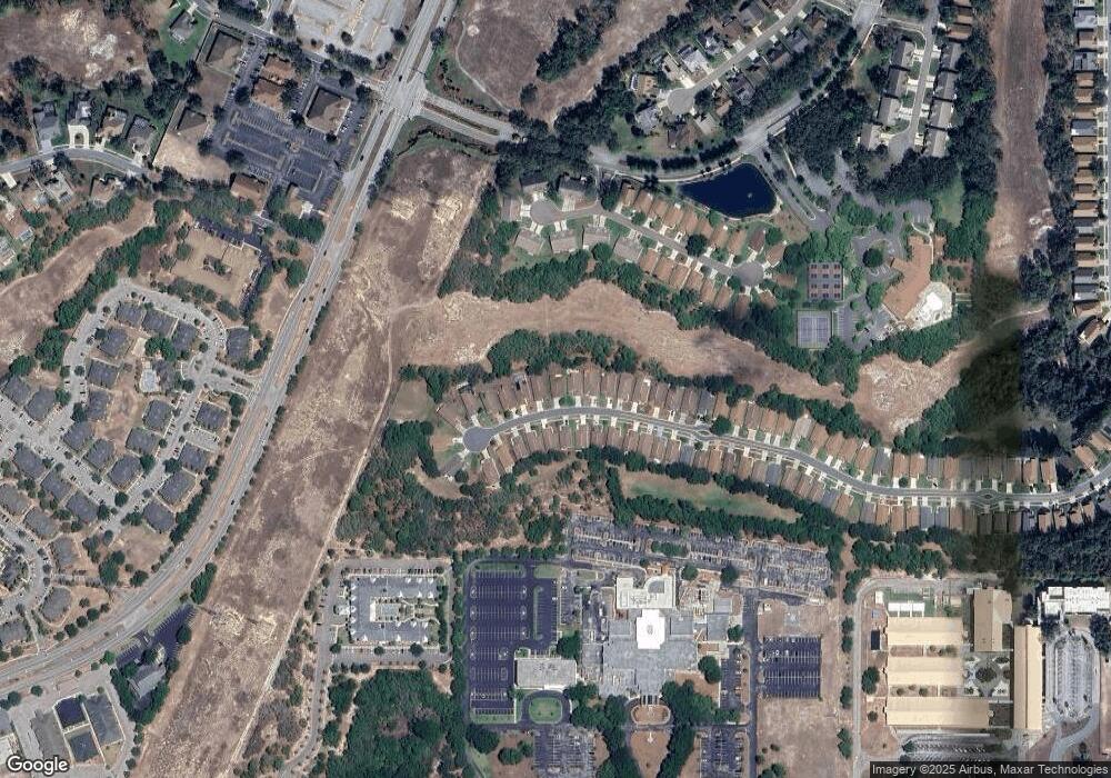
Map
Nearby Homes
- 11078 Heathrow Ave
- 11075 Heathrow Ave
- 11121 Cherrywood Ct
- 412 Mistwood Ct
- 432 Mistwood Ct
- 453 Candlestone Ct
- 402 & 406 Candlestone Ct
- 401 & 405 Candlestone Ct
- 449 Candlestone Ct
- 371 Quane Ave
- 407 Montpelier Ct
- 11261 McRacken Dr
- 232 Center Oak Cir
- 525 Bent Oak Ct
- 0 Centerwood Ave Unit MFRTB8450965
- 11330 Leeds Dr
- 533 Bent Oak Ct
- 10296 Palmgren Ln
- 11343 Leeds Dr
- 10400 Casa Grande Cir
- 11087 Heathrow Ave
- 11079 Heathrow Ave
- 11091 Heathrow Ave
- 11071 Heathrow Ave
- 11095 Heathrow Ave
- 11086 Heathrow Ave
- 11074 Heathrow Ave
- 11067 Heathrow Ave
- 11099 Heathrow Ave
- 11094 Heathrow Ave
- 11070 Heathrow Ave
- 11098 Heathrow Ave
- 11103 Heathrow Ave
- 11063 Heathrow Ave
- 11066 Heathrow Ave
- 11102 Heathrow Ave
- 11107 Heathrow Ave
- 11106 Heathrow Ave
- 11062 Heathrow Ave
- 11059 Heathrow Ave
Your Personal Tour Guide
Ask me questions while you tour the home.