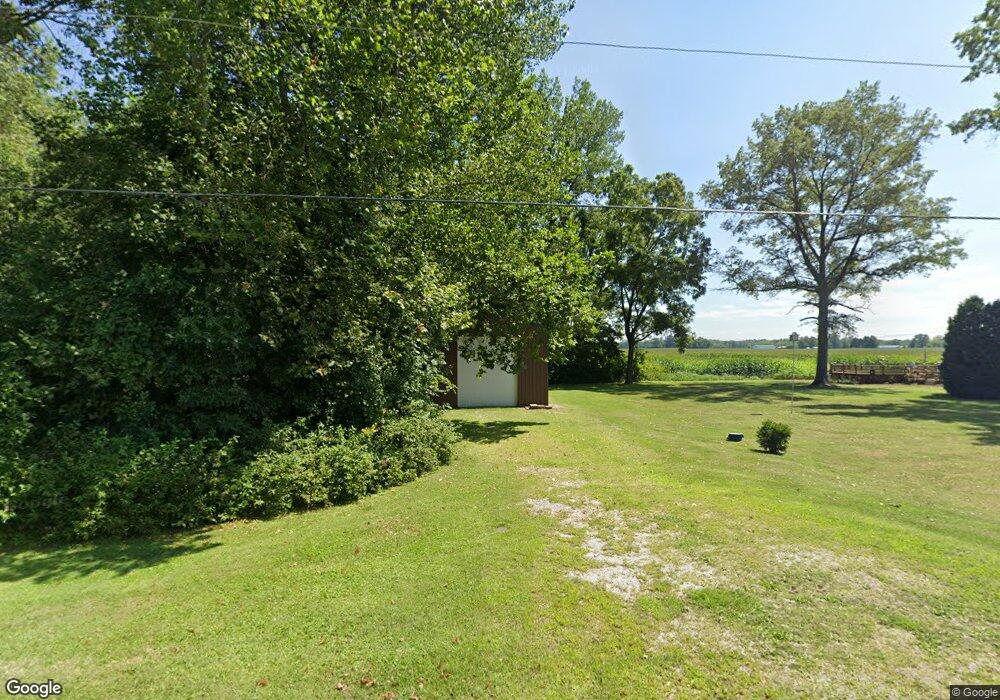
11089 Canal Rd Hebron, OH 43025
Union NeighborhoodEstimated Value: $253,000 - $309,566
3
Beds
1
Bath
1,352
Sq Ft
$213/Sq Ft
Est. Value
About This Home
This home is located at 11089 Canal Rd, Hebron, OH 43025 and is currently estimated at $288,392, approximately $213 per square foot. 11089 Canal Rd is a home with nearby schools including Jackson Intermediate School, Lakewood Middle School, and Lakewood High School.
Ownership History
Date
Name
Owned For
Owner Type
Purchase Details
Closed on
Dec 30, 1998
Sold by
Vail Lyle C
Bought by
Dorsey Randall L
Current Estimated Value
Home Financials for this Owner
Home Financials are based on the most recent Mortgage that was taken out on this home.
Original Mortgage
$92,367
Outstanding Balance
$21,775
Interest Rate
6.95%
Mortgage Type
FHA
Estimated Equity
$266,617
Purchase Details
Closed on
Nov 24, 1995
Sold by
Moore Virginia E
Bought by
Vail Lyle C and Vail Patricia
Create a Home Valuation Report for This Property
The Home Valuation Report is an in-depth analysis detailing your home's value as well as a comparison with similar homes in the area
Home Values in the Area
Average Home Value in this Area
Purchase History
| Date | Buyer | Sale Price | Title Company |
|---|---|---|---|
| Dorsey Randall L | $94,000 | -- | |
| Vail Lyle C | $67,000 | -- |
Source: Public Records
Mortgage History
| Date | Status | Borrower | Loan Amount |
|---|---|---|---|
| Open | Dorsey Randall L | $92,367 |
Source: Public Records
Tax History
| Year | Tax Paid | Tax Assessment Tax Assessment Total Assessment is a certain percentage of the fair market value that is determined by local assessors to be the total taxable value of land and additions on the property. | Land | Improvement |
|---|---|---|---|---|
| 2024 | $2,949 | $74,240 | $25,240 | $49,000 |
| 2023 | $2,960 | $74,240 | $25,240 | $49,000 |
| 2022 | $2,310 | $54,320 | $14,560 | $39,760 |
| 2021 | $2,372 | $54,320 | $14,560 | $39,760 |
| 2020 | $2,459 | $54,320 | $14,560 | $39,760 |
| 2019 | $2,130 | $44,450 | $13,860 | $30,590 |
| 2018 | $2,153 | $0 | $0 | $0 |
| 2017 | $1,997 | $0 | $0 | $0 |
| 2016 | $1,876 | $0 | $0 | $0 |
| 2015 | $1,845 | $0 | $0 | $0 |
| 2014 | $2,822 | $0 | $0 | $0 |
| 2013 | $1,948 | $0 | $0 | $0 |
Source: Public Records
Map
Nearby Homes
- 3371 Shepard Ave
- 13543 Clark St NE
- 3483 N Bank Rd
- 12580 W Bank Dr NE
- 9257 Lancaster Rd
- 90 Louella Dr
- 11116 Hebron Rd
- 11007 Hebron Rd
- 11047 Hebron Rd
- 83 Seymour Ave
- 814 W Main St
- 139 Myers Ave
- 104 Cumberland Meadows Cir
- 158 Central Ave
- 183 Park St
- 12291 Ohio Ave
- 165 Worth Dr
- 1172 Lake Forest Dr
- 55 East St
- 13045 Cedar Rd NE
- 10489 Canal Rd
- 3510 Walnut Rd
- 3195 Walnut Rd
- 10787 Lancaster Rd
- 10517 Canal Rd
- 4035 Walnut Rd
- 0 Walnut Rd Unit LOTC 2012429
- 0 Walnut Rd Unit 2012433
- 0 Walnut Rd Unit LOTA 2012426
- 0 Walnut Rd
- O Walnut Rd
- 0 NE Walnut Rd Unit 4120519
- 0 NE Walnut Rd Unit 212025523
- 2845 Walnut Rd NE
- 0 Walnut Rd
- 3405 Walnut Rd
- 2843 Walnut Rd NE
- 12426 Walnut Rd NE
- 2710 Walnut Rd NE
- 3755 Walnut Rd NE
Your Personal Tour Guide
Ask me questions while you tour the home.
