11089 County Line Rd Decatur, TX 76234
Estimated Value: $1,851,000
4
Beds
3
Baths
2,180
Sq Ft
$849/Sq Ft
Est. Value
About This Home
This home is located at 11089 County Line Rd, Decatur, TX 76234 and is currently estimated at $1,851,000, approximately $849 per square foot. 11089 County Line Rd is a home located in Denton County with nearby schools including Slidell Schools.
Ownership History
Date
Name
Owned For
Owner Type
Purchase Details
Closed on
Mar 10, 2009
Sold by
Vanmeter William J and Van Meter William
Bought by
Vanmeter William J and Stepanick Anne M
Current Estimated Value
Purchase Details
Closed on
Jul 15, 2004
Sold by
White Sandra and White Glenn Perry
Bought by
Vanmeter William
Home Financials for this Owner
Home Financials are based on the most recent Mortgage that was taken out on this home.
Original Mortgage
$127,000
Outstanding Balance
$63,862
Interest Rate
6.32%
Mortgage Type
Purchase Money Mortgage
Estimated Equity
$1,787,138
Create a Home Valuation Report for This Property
The Home Valuation Report is an in-depth analysis detailing your home's value as well as a comparison with similar homes in the area
Home Values in the Area
Average Home Value in this Area
Purchase History
| Date | Buyer | Sale Price | Title Company |
|---|---|---|---|
| Vanmeter William J | -- | Denton County Title | |
| Vanmeter William | -- | Reunion Title |
Source: Public Records
Mortgage History
| Date | Status | Borrower | Loan Amount |
|---|---|---|---|
| Open | Vanmeter William | $127,000 |
Source: Public Records
Tax History Compared to Growth
Tax History
| Year | Tax Paid | Tax Assessment Tax Assessment Total Assessment is a certain percentage of the fair market value that is determined by local assessors to be the total taxable value of land and additions on the property. | Land | Improvement |
|---|---|---|---|---|
| 2025 | $261 | $25,835 | $2,162 | $23,673 |
| 2024 | $41 | $21,758 | $0 | $0 |
| 2023 | $148 | $12,211 | $4,046 | $8,165 |
| 2022 | $226 | $19,343 | $4,102 | $15,241 |
| 2021 | $213 | $16,592 | $3,437 | $13,155 |
| 2020 | $261 | $20,135 | $3,603 | $16,532 |
| 2019 | $247 | $18,218 | $4,157 | $14,061 |
| 2018 | $266 | $19,277 | $4,434 | $14,843 |
| 2017 | $242 | $17,473 | $4,434 | $13,039 |
| 2016 | $71 | $5,109 | $5,109 | $0 |
| 2015 | -- | $5,393 | $5,393 | $0 |
| 2013 | -- | $134,818 | $7,557 | $127,261 |
Source: Public Records
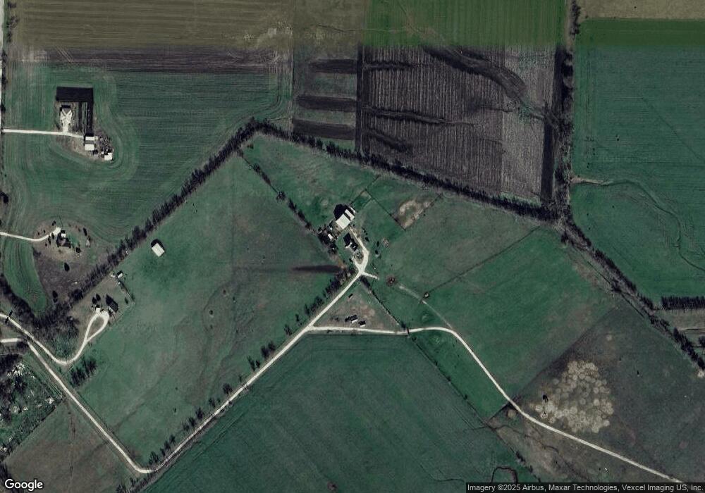
Map
Nearby Homes
- 14410 W Fm 455
- 0 Fm 455 Unit 21033431
- 171 Cr-2825
- 9725 Atcheson Rd
- 12370 Fortenberry Rd
- Highway 51
- n/a Pruett Rd
- 13257 W Fm 455
- 12890 Pruett Rd
- 12880 Pruett Rd
- TBD 7 County Road 2830
- 16384 Farm To Market Road 1173
- 7244 N Hickory Rd
- 7225 N Hickory Rd
- TBD N Hickory Rd
- 12480 Doyle Rd
- 204 El Dorado St
- 1430 County Road 2735
- 12530 Doyle Rd
- 7220 Tom Trail
- 12920 County Line Rd
- 19771 County Line Rd
- 159 County Rd Unit 2610
- 630 County Rd
- Lot 7 County Road 2739
- 0 County Rd 334 Unit 14328136
- 440 County Road 4679
- 139 Cr 2821
- 372 Turkey Creek Rd
- 682 County Road 2825
- 17071 Waide Rd
- 2821 Cr
- 275 County Road 2822
- 203 County Road 2821
- 16199 W Fm 455
- 180 Cr 2823 St
- 2822 Cr
- 258 County Road 2821
- 201 County Road 2822
- 167 2nd St