1109 Dalton Ave Pittsfield, MA 01201
Estimated Value: $234,000 - $310,000
4
Beds
2
Baths
1,674
Sq Ft
$168/Sq Ft
Est. Value
About This Home
This home is located at 1109 Dalton Ave, Pittsfield, MA 01201 and is currently estimated at $281,640, approximately $168 per square foot. 1109 Dalton Ave is a home located in Berkshire County with nearby schools including Allendale Elementary School, John T. Reid Middle School, and Pittsfield High School.
Ownership History
Date
Name
Owned For
Owner Type
Purchase Details
Closed on
Apr 21, 2020
Sold by
Briggs Kim M
Bought by
Klimek Michael
Current Estimated Value
Purchase Details
Closed on
Aug 1, 1997
Sold by
Moody Ruth B and Moody Jeffrey J
Bought by
Briggs Paul P and Briggs Kim M
Home Financials for this Owner
Home Financials are based on the most recent Mortgage that was taken out on this home.
Original Mortgage
$69,700
Interest Rate
7.55%
Mortgage Type
Purchase Money Mortgage
Create a Home Valuation Report for This Property
The Home Valuation Report is an in-depth analysis detailing your home's value as well as a comparison with similar homes in the area
Home Values in the Area
Average Home Value in this Area
Purchase History
| Date | Buyer | Sale Price | Title Company |
|---|---|---|---|
| Klimek Michael | $150,000 | None Available | |
| Briggs Paul P | $82,000 | -- | |
| Briggs Paul P | $82,000 | -- |
Source: Public Records
Mortgage History
| Date | Status | Borrower | Loan Amount |
|---|---|---|---|
| Previous Owner | Briggs Paul P | $10,000 | |
| Previous Owner | Briggs Paul P | $69,700 | |
| Previous Owner | Briggs Paul P | $7,000 |
Source: Public Records
Tax History
| Year | Tax Paid | Tax Assessment Tax Assessment Total Assessment is a certain percentage of the fair market value that is determined by local assessors to be the total taxable value of land and additions on the property. | Land | Improvement |
|---|---|---|---|---|
| 2025 | $3,174 | $176,900 | $71,700 | $105,200 |
| 2024 | $2,994 | $162,300 | $71,700 | $90,600 |
| 2023 | $2,836 | $154,800 | $71,700 | $83,100 |
| 2022 | $2,649 | $142,700 | $71,700 | $71,000 |
| 2021 | $2,693 | $139,900 | $71,700 | $68,200 |
| 2020 | $2,521 | $127,900 | $61,700 | $66,200 |
| 2019 | $2,484 | $127,900 | $59,700 | $68,200 |
| 2018 | $2,486 | $125,600 | $59,700 | $65,900 |
| 2017 | $2,456 | $125,100 | $56,700 | $68,400 |
| 2016 | $2,337 | $124,600 | $56,700 | $67,900 |
| 2015 | $2,250 | $124,600 | $56,700 | $67,900 |
Source: Public Records
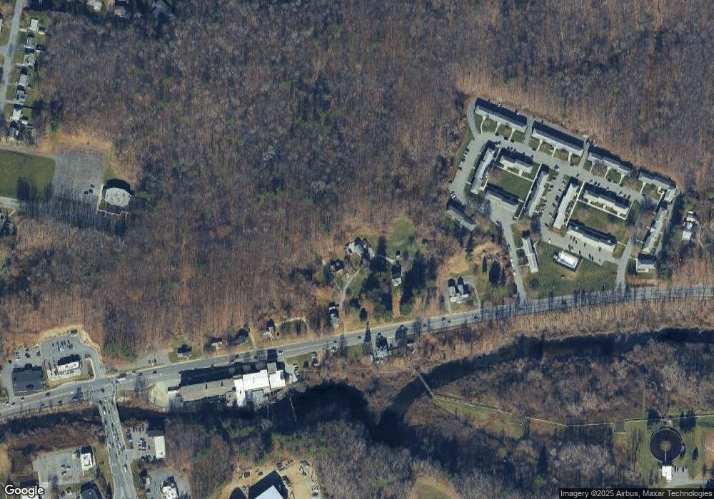
Map
Nearby Homes
- 149 Kittredge Rd
- 121 Kittredge Rd
- 0 Crane Ave
- 68 Howe Rd
- 395 Cheshire Rd Unit 114
- 395 Cheshire Rd Unit 103
- 395 Cheshire Rd Unit 101
- 395 Cheshire Rd Unit 102
- 395 Cheshire Rd Unit 112
- 395 Cheshire Rd Unit 113
- 18 Chestnut St
- 127 Oak Hill Rd
- 1 Pondview Dr Unit C3
- 607 Crane Ave
- 127 Pinecrest Dr
- 1990 East St
- 215 Partridge Rd
- 1842 East St
- 40 Baldwin Ave
- 165 High St
- 1103 Dalton Ave
- 1125 Dalton Ave
- 1099 Dalton Ave
- 1112 Dalton Ave
- 1143 Dalton Ave
- 1079 Dalton Ave
- 1073 Dalton Ave
- 1061 Dalton Ave
- 1051 Dalton Ave
- Lot 3 Lynda Ct
- 5 Highview Dr Unit 101 Highview Dr
- 5 Highview Dr Unit 38 highview Drive
- 5 Highview Dr Unit 92D highview drive
- 5 Highview Dr Unit 17 highview Drive
- 5 Highview Dr Unit 95D highview drive
- 5 Highview Dr Unit 123 Highview Dr
- 5 Highview Dr Unit 95 highview Drive
- 11 Highview Dr Unit 92
- 166 Kittredge Rd
- 1215 Dalton Ave
Your Personal Tour Guide
Ask me questions while you tour the home.