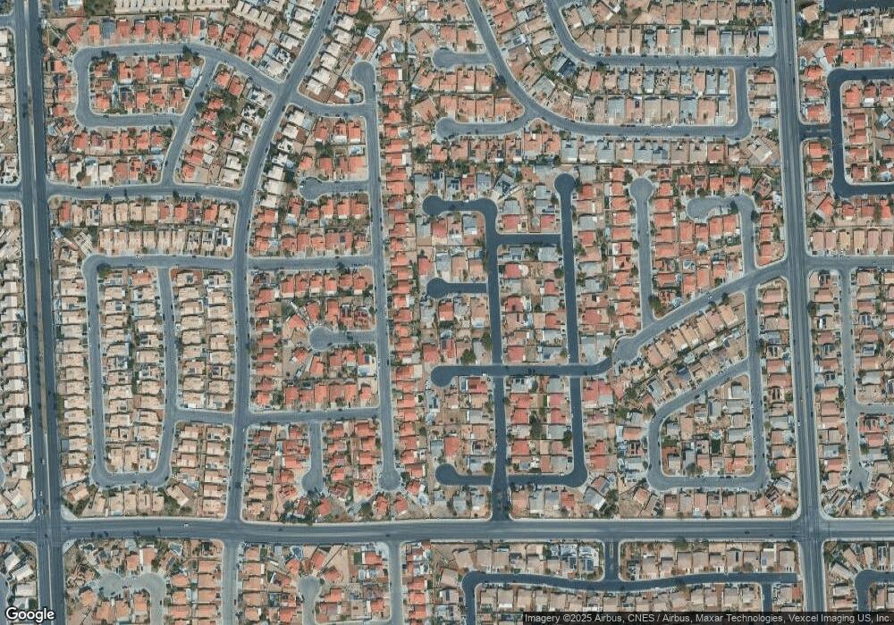
1109 Durban Ct North Las Vegas, NV 89032
Cheyenne NeighborhoodEstimated Value: $375,109 - $410,000
3
Beds
2
Baths
1,637
Sq Ft
$239/Sq Ft
Est. Value
About This Home
This home is located at 1109 Durban Ct, North Las Vegas, NV 89032 and is currently estimated at $392,027, approximately $239 per square foot. 1109 Durban Ct is a home located in Clark County with nearby schools including Dr. Claude G Perkins Elementary School, Elizabeth Wilhelm Elementary School, and Marvin M Sedway Middle School.
Ownership History
Date
Name
Owned For
Owner Type
Purchase Details
Closed on
Aug 20, 2024
Sold by
Gray Lyndon F and Gray Pamela D
Bought by
Jwcn Trust and Gray
Current Estimated Value
Purchase Details
Closed on
Feb 18, 1997
Sold by
Gray Pamela D
Bought by
Gray Lyndon F
Home Financials for this Owner
Home Financials are based on the most recent Mortgage that was taken out on this home.
Original Mortgage
$115,338
Interest Rate
7.63%
Mortgage Type
FHA
Create a Home Valuation Report for This Property
The Home Valuation Report is an in-depth analysis detailing your home's value as well as a comparison with similar homes in the area
Home Values in the Area
Average Home Value in this Area
Purchase History
| Date | Buyer | Sale Price | Title Company |
|---|---|---|---|
| Jwcn Trust | -- | Driggs Title Agency | |
| Gray Lyndon F | -- | Driggs Title Agency | |
| Gray Lyndon F | -- | Old Republic Title Company | |
| Gray Lyndon F | $118,500 | Old Republic Title Company |
Source: Public Records
Mortgage History
| Date | Status | Borrower | Loan Amount |
|---|---|---|---|
| Previous Owner | Gray Lyndon F | $115,338 |
Source: Public Records
Tax History Compared to Growth
Tax History
| Year | Tax Paid | Tax Assessment Tax Assessment Total Assessment is a certain percentage of the fair market value that is determined by local assessors to be the total taxable value of land and additions on the property. | Land | Improvement |
|---|---|---|---|---|
| 2025 | $1,506 | $88,078 | $28,000 | $60,078 |
| 2024 | $1,463 | $88,078 | $28,000 | $60,078 |
| 2023 | $1,463 | $87,384 | $30,100 | $57,284 |
| 2022 | $1,557 | $77,571 | $25,200 | $52,371 |
| 2021 | $1,442 | $71,968 | $22,050 | $49,918 |
| 2020 | $1,336 | $71,638 | $22,050 | $49,588 |
| 2019 | $1,252 | $66,720 | $17,850 | $48,870 |
| 2018 | $1,195 | $61,852 | $14,700 | $47,152 |
| 2017 | $1,982 | $59,089 | $13,650 | $45,439 |
| 2016 | $1,119 | $47,936 | $9,100 | $38,836 |
| 2015 | $1,116 | $37,330 | $7,000 | $30,330 |
| 2014 | $1,083 | $31,810 | $7,000 | $24,810 |
Source: Public Records
Map
Nearby Homes
- 3743 Nairobi Ln
- 641 Bay Bridge Dr
- 628 Bay Bridge Dr
- 3839 Dusty Glen Ct
- 3825 Manhattan Bridge Place
- 3644 Quail Creek Dr
- 1608 Knoll Heights Ct
- 3317 Spinet Dr
- 532 Shallow Mist Ct
- 1002 Christopher View Ave Unit 2
- 728 Twilight Blue Ave
- 3736 Shadow Tree St
- 625 Heartland Point Ave
- 4116 Mattray St
- 3827 Blue Gull St
- 4126 Jessica Marie St Unit 4
- 631 Kings Center Ave
- 0 Revere St
- 1304 Checkmark Ave Unit 4
- 1209 Equator Ave
- 1105 Durban Ct
- 1113 Durban Ct
- 1110 Oak Island Dr
- 1101 Durban Ct
- 1106 Oak Island Dr
- 1114 Oak Island Dr
- 3708 Blue Dawn Dr
- 3704 Blue Dawn Dr
- 3712 Blue Dawn Dr
- 1102 Oak Island Dr
- 3646 Blue Dawn Dr
- 1110 Durban Ct
- 1106 Durban Ct
- 3716 Blue Dawn Dr
- 1114 Durban Ct
- 1102 Durban Ct
- 1102 Durban Ct
- 3642 Blue Dawn Dr
- 3720 Blue Dawn Dr
- 3638 Blue Dawn Dr
