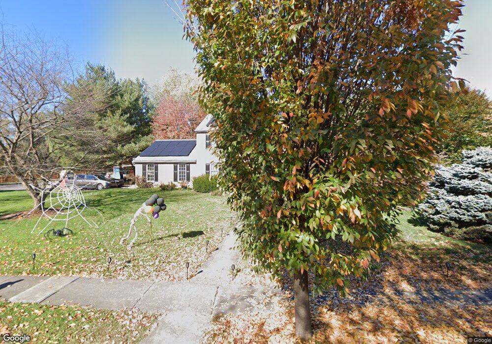
1109 Hillside Dr Carlisle, PA 17013
Estimated Value: $522,000 - $535,000
4
Beds
3
Baths
2,447
Sq Ft
$216/Sq Ft
Est. Value
About This Home
This home is located at 1109 Hillside Dr, Carlisle, PA 17013 and is currently estimated at $529,613, approximately $216 per square foot. 1109 Hillside Dr is a home located in Cumberland County with nearby schools including Mooreland Elementary School, Lamberton Middle School, and Carlisle Area High School.
Ownership History
Date
Name
Owned For
Owner Type
Purchase Details
Closed on
Oct 6, 2020
Sold by
Munck Eric J and Welsh Nancy A
Bought by
Maley Amy Elizabeth and Maley Matthew J
Current Estimated Value
Home Financials for this Owner
Home Financials are based on the most recent Mortgage that was taken out on this home.
Original Mortgage
$355,500
Outstanding Balance
$316,198
Interest Rate
2.9%
Mortgage Type
New Conventional
Estimated Equity
$213,415
Create a Home Valuation Report for This Property
The Home Valuation Report is an in-depth analysis detailing your home's value as well as a comparison with similar homes in the area
Home Values in the Area
Average Home Value in this Area
Purchase History
| Date | Buyer | Sale Price | Title Company |
|---|---|---|---|
| Maley Amy Elizabeth | $395,000 | None Available |
Source: Public Records
Mortgage History
| Date | Status | Borrower | Loan Amount |
|---|---|---|---|
| Open | Maley Amy Elizabeth | $355,500 |
Source: Public Records
Tax History Compared to Growth
Tax History
| Year | Tax Paid | Tax Assessment Tax Assessment Total Assessment is a certain percentage of the fair market value that is determined by local assessors to be the total taxable value of land and additions on the property. | Land | Improvement |
|---|---|---|---|---|
| 2025 | $7,312 | $310,500 | $95,000 | $215,500 |
| 2024 | $7,102 | $310,500 | $95,000 | $215,500 |
| 2023 | $6,778 | $310,500 | $95,000 | $215,500 |
| 2022 | $6,681 | $310,500 | $95,000 | $215,500 |
| 2021 | $6,585 | $310,500 | $95,000 | $215,500 |
| 2020 | $6,447 | $310,500 | $95,000 | $215,500 |
| 2019 | $6,312 | $310,500 | $95,000 | $215,500 |
| 2018 | $6,177 | $310,500 | $95,000 | $215,500 |
| 2017 | $6,054 | $310,500 | $95,000 | $215,500 |
| 2016 | -- | $310,500 | $95,000 | $215,500 |
| 2015 | -- | $310,500 | $95,000 | $215,500 |
| 2014 | -- | $310,500 | $95,000 | $215,500 |
Source: Public Records
Map
Nearby Homes
- 1215 Georgetown Cir
- 3 Baird Ct
- 911 Walnut St
- 628 Belvedere St
- 901 Stratford Dr
- 500 Belvedere St
- 1339 Georgetown Cir
- 808 Wellington Dr
- 808 Walnut Ln
- 9 Garland Ct
- 1514 Terrace Ave
- 250 Mooreland Ave
- 412 W South St
- 124 Conway St
- 1530 Terrace Ave
- Carter Plan at Grange - Single Family
- Corby Plan at Grange - Single Family
- Arundel Plan at Grange - Single Family
- Royston Plan at Grange - Single Family
- Elgin Plan at Grange - Single Family
- 1110 Hillside Dr
- 1108 Hillside Dr
- 1213 Hillside Dr
- 1112 Hillside Dr
- 1010 Walnut St
- 1106 Hillside Dr
- 1114 Hillside Dr
- 1215 Hillside Dr
- 1000 Walnut St
- 1004 Hillside Dr
- 1116 Hillside Dr
- 1111 Sherwood Dr
- 1109 Sherwood Dr
- 1113 Sherwood Dr
- 1217 Hillside Dr
- 1115 Sherwood Dr
- 1107 Sherwood Dr
- 1009 Drayer Ct
- 1002 Hillside Dr
- 1118 Hillside Dr