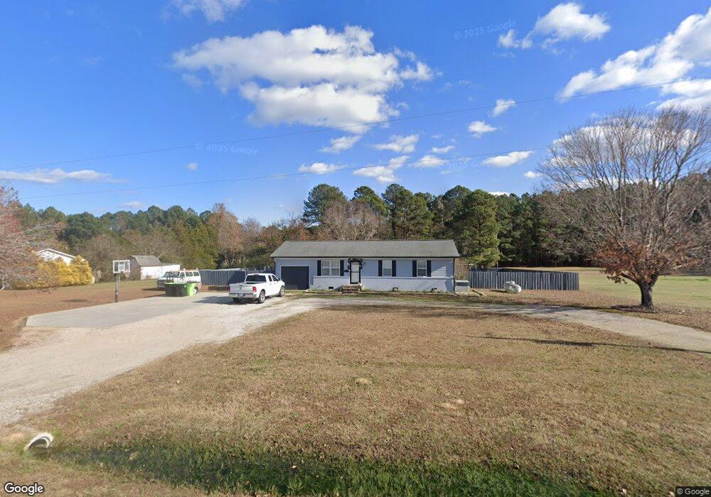
1109 Martin Pond Rd Wendell, NC 27591
Estimated Value: $185,000 - $367,000
3
Beds
2
Baths
1,040
Sq Ft
$259/Sq Ft
Est. Value
About This Home
This home is located at 1109 Martin Pond Rd, Wendell, NC 27591 and is currently estimated at $269,276, approximately $258 per square foot. 1109 Martin Pond Rd is a home located in Wake County with nearby schools including Carver Elementary, Wendell Middle School, and East Wake High School.
Ownership History
Date
Name
Owned For
Owner Type
Purchase Details
Closed on
Jul 31, 2006
Sold by
Barnett Cory D
Bought by
Bass Dwight
Current Estimated Value
Home Financials for this Owner
Home Financials are based on the most recent Mortgage that was taken out on this home.
Original Mortgage
$76,500
Outstanding Balance
$45,529
Interest Rate
6.6%
Mortgage Type
Purchase Money Mortgage
Estimated Equity
$223,747
Purchase Details
Closed on
May 10, 2006
Sold by
Champion David and Champion Anna B
Bought by
Barnett Cory D and Wendell Martin Pond Trust
Create a Home Valuation Report for This Property
The Home Valuation Report is an in-depth analysis detailing your home's value as well as a comparison with similar homes in the area
Home Values in the Area
Average Home Value in this Area
Purchase History
| Date | Buyer | Sale Price | Title Company |
|---|---|---|---|
| Bass Dwight | $76,500 | None Available | |
| Barnett Cory D | -- | None Available |
Source: Public Records
Mortgage History
| Date | Status | Borrower | Loan Amount |
|---|---|---|---|
| Open | Bass Dwight | $76,500 |
Source: Public Records
Tax History Compared to Growth
Tax History
| Year | Tax Paid | Tax Assessment Tax Assessment Total Assessment is a certain percentage of the fair market value that is determined by local assessors to be the total taxable value of land and additions on the property. | Land | Improvement |
|---|---|---|---|---|
| 2025 | $1,373 | $211,516 | $72,200 | $139,316 |
| 2024 | $1,334 | $211,516 | $72,200 | $139,316 |
| 2023 | $1,018 | $128,027 | $30,560 | $97,467 |
| 2022 | $945 | $128,027 | $30,560 | $97,467 |
| 2021 | $920 | $128,027 | $30,560 | $97,467 |
| 2020 | $905 | $128,027 | $30,560 | $97,467 |
| 2019 | $931 | $111,490 | $30,560 | $80,930 |
| 2018 | $857 | $111,490 | $30,560 | $80,930 |
| 2017 | $813 | $111,490 | $30,560 | $80,930 |
| 2016 | $797 | $111,490 | $30,560 | $80,930 |
| 2015 | $885 | $124,509 | $53,200 | $71,309 |
| 2014 | $839 | $124,509 | $53,200 | $71,309 |
Source: Public Records
Map
Nearby Homes
- 1524 Level Stream Rd
- 2521 Lillian Woods Way
- 1548 Level Stream Rd
- 220 Big Bradley Dr
- 1533 Piney Falls Dr
- 328 Catheys Creek Cir
- 313 Catheys Creek Cir
- 372 Catheys Creek Cir
- 304 Catheys Creek Cir
- 1556 Level Stream Rd
- 1317 Pavo Path
- 361 Catheys Creek Cir
- 1537 Piney Falls Dr
- 1556 Piney Falls Dr
- 152 Big Bradley Dr
- 264 Big Bradley Dr
- 1753 Eagle Rock Rd
- 237 Wash Hollow Dr
- 1569 Piney Falls Dr
- 1564 Piney Falls Dr
- 1105 Martin Pond Rd
- 1113 Martin Pond Rd
- 1101 Martin Pond Rd
- 6619 Wheat Dr
- 6604 Tan Cir
- 6605 Tan Cir
- 1134 Clear Cir
- 1128 Clear Cir
- 6620 Wheat Dr
- 6600 Tan Cir
- 1201 Martin Pond Rd
- 6616 Wheat Dr
- 1205 Martin Pond Rd
- 1141 Clear Cir
- 1118 Clear Cir
- 6601 Tan Cir
- 1133 Clear Cir
- 2108 Eagle View Dr
- 1129 Clear Cir
- 1204 Martin Pond Rd