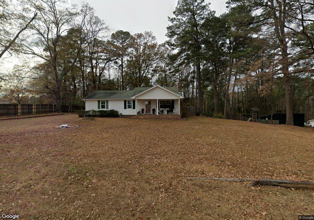
1109 N Red St Sheridan, AR 72150
Estimated Value: $216,000 - $285,000
Studio
3
Baths
2,463
Sq Ft
$104/Sq Ft
Est. Value
About This Home
This home is located at 1109 N Red St, Sheridan, AR 72150 and is currently estimated at $255,640, approximately $103 per square foot. 1109 N Red St is a home located in Grant County.
Ownership History
Date
Name
Owned For
Owner Type
Purchase Details
Closed on
Jun 28, 2005
Sold by
Howard Ted M and Howard Luann J
Bought by
Allen Justin T
Current Estimated Value
Home Financials for this Owner
Home Financials are based on the most recent Mortgage that was taken out on this home.
Original Mortgage
$140,000
Outstanding Balance
$72,057
Interest Rate
5.64%
Mortgage Type
New Conventional
Estimated Equity
$183,583
Purchase Details
Closed on
Oct 22, 1998
Bought by
Howard
Create a Home Valuation Report for This Property
The Home Valuation Report is an in-depth analysis detailing your home's value as well as a comparison with similar homes in the area
Home Values in the Area
Average Home Value in this Area
Purchase History
| Date | Buyer | Sale Price | Title Company |
|---|---|---|---|
| Allen Justin T | $170,000 | Professional Land Title Comp | |
| Howard | $139,000 | -- |
Source: Public Records
Mortgage History
| Date | Status | Borrower | Loan Amount |
|---|---|---|---|
| Open | Allen Justin T | $140,000 |
Source: Public Records
Tax History
| Year | Tax Paid | Tax Assessment Tax Assessment Total Assessment is a certain percentage of the fair market value that is determined by local assessors to be the total taxable value of land and additions on the property. | Land | Improvement |
|---|---|---|---|---|
| 2025 | $1,500 | $44,360 | $3,600 | $40,760 |
| 2024 | $1,364 | $30,300 | $2,210 | $28,090 |
| 2023 | $939 | $30,300 | $2,210 | $28,090 |
| 2022 | $989 | $30,300 | $2,210 | $28,090 |
| 2021 | $989 | $30,300 | $2,210 | $28,090 |
| 2020 | $1,051 | $31,690 | $6,000 | $25,690 |
| 2019 | $1,051 | $31,690 | $6,000 | $25,690 |
| 2018 | $1,076 | $31,690 | $6,000 | $25,690 |
| 2017 | $1,076 | $31,690 | $6,000 | $25,690 |
| 2015 | -- | $31,040 | $6,000 | $25,040 |
| 2014 | -- | $31,040 | $6,000 | $25,040 |
| 2012 | -- | $31,040 | $6,000 | $25,040 |
Source: Public Records
Map
Nearby Homes
- 64 Horton Hills Dr
- 1001 N Red St
- 58 Horton Hills Dr
- 8 Summit St
- 10 Smokey Ridge Ct
- 7 Christen Ln
- 5 Smokey Ridge Ct
- 1000 N Arch St
- 701 N Red St
- 801 N Arch St
- 1 Rose Ct
- 703 N Briarwood Dr
- 912 W Vine St
- 201 Casey Ln
- 1400 Skyline Dr
- 112 E Sunset Dr
- 3400 U S Highway 270
- 923 W Center St
- 211 N College St
- 206 W High St
- 9 Pinecrest Cir
- 14 Pinecrest Cir
- 0 Red Street (Tract A) Unit 21032782
- 38 Horton Ln
- 0 Red Street (Tract B) Unit 21032786
- 62 Horton Ln
- 1100 N Red St
- 64 Horton Ln
- 706 W 11th St
- 22 Pinecrest Cir
- 1194 N Red St
- 723 Red Sheridan St
- Lot 3 & 4 Horton Ln
- 29 Horton Ln
- 33 Horton Ln
- 35 Horton Ln
- 65 Horton Hills Dr
- 63 Horton Hills Dr
- 1009 N Red St
- N Red St
Your Personal Tour Guide
Ask me questions while you tour the home.