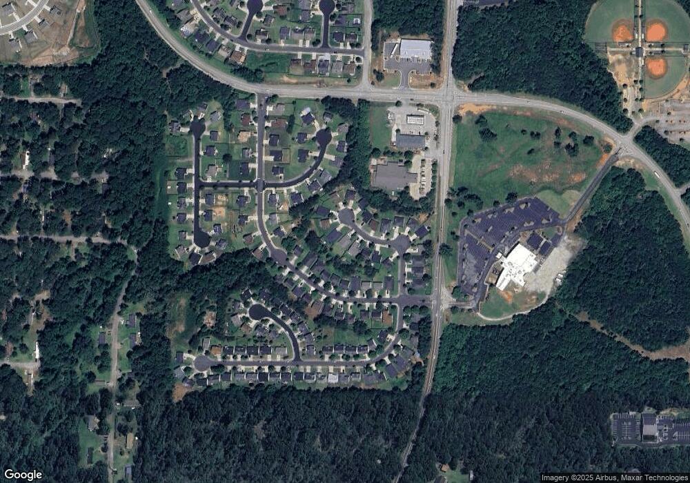
1109 Saint Phillips Ct Locust Grove, GA 30248
Estimated Value: $236,000 - $256,447
3
Beds
2
Baths
1,533
Sq Ft
$163/Sq Ft
Est. Value
About This Home
This home is located at 1109 Saint Phillips Ct, Locust Grove, GA 30248 and is currently estimated at $249,612, approximately $162 per square foot. 1109 Saint Phillips Ct is a home located in Henry County with nearby schools including Locust Grove Elementary School, Locust Grove Middle School, and Locust Grove High School.
Ownership History
Date
Name
Owned For
Owner Type
Purchase Details
Closed on
Feb 14, 2008
Sold by
Hud
Bought by
Bechtel Steve
Current Estimated Value
Home Financials for this Owner
Home Financials are based on the most recent Mortgage that was taken out on this home.
Original Mortgage
$68,800
Interest Rate
6.06%
Mortgage Type
New Conventional
Purchase Details
Closed on
Aug 7, 2007
Sold by
Wells Fargo Bank Na
Bought by
Hud
Purchase Details
Closed on
Mar 7, 2003
Sold by
Centex Homes
Bought by
Sosebee William S and Sosebee Angelee L
Home Financials for this Owner
Home Financials are based on the most recent Mortgage that was taken out on this home.
Original Mortgage
$112,238
Interest Rate
5.88%
Mortgage Type
FHA
Create a Home Valuation Report for This Property
The Home Valuation Report is an in-depth analysis detailing your home's value as well as a comparison with similar homes in the area
Home Values in the Area
Average Home Value in this Area
Purchase History
| Date | Buyer | Sale Price | Title Company |
|---|---|---|---|
| Bechtel Steve | -- | -- | |
| Hud | -- | -- | |
| Wells Fargo Bank Na | $122,904 | -- | |
| Sosebee William S | $114,000 | -- |
Source: Public Records
Mortgage History
| Date | Status | Borrower | Loan Amount |
|---|---|---|---|
| Closed | Bechtel Steve | $68,800 | |
| Previous Owner | Sosebee William S | $112,238 |
Source: Public Records
Tax History Compared to Growth
Tax History
| Year | Tax Paid | Tax Assessment Tax Assessment Total Assessment is a certain percentage of the fair market value that is determined by local assessors to be the total taxable value of land and additions on the property. | Land | Improvement |
|---|---|---|---|---|
| 2025 | $3,823 | $98,000 | $16,000 | $82,000 |
| 2024 | $3,823 | $98,000 | $16,000 | $82,000 |
| 2023 | $3,029 | $98,000 | $16,000 | $82,000 |
| 2022 | $3,301 | $90,280 | $16,000 | $74,280 |
| 2021 | $2,381 | $64,720 | $16,000 | $48,720 |
| 2020 | $2,229 | $60,520 | $12,000 | $48,520 |
| 2019 | $2,027 | $54,040 | $10,000 | $44,040 |
| 2018 | $1,852 | $49,640 | $9,200 | $40,440 |
| 2016 | $1,550 | $41,480 | $8,000 | $33,480 |
| 2015 | -- | $37,080 | $7,200 | $29,880 |
| 2014 | -- | $32,200 | $5,600 | $26,600 |
Source: Public Records
Map
Nearby Homes
- 1020 Saint Augustine Pkwy
- 1119 Saint Phillips Ct
- 1134 Saint Phillips Ct
- 1524 Queen Elizabeth Dr
- 1604 Lady Maria Ct
- 77 Rosser Ln
- 150 Aster Ave
- Cali Plan at Cedar Ridge - Locust Grove Station
- Belfort Plan at Cedar Ridge - Locust Grove Station
- Galen Plan at Cedar Ridge - Locust Grove Station
- Hayden Plan at Cedar Ridge - Locust Grove Station
- Packard Plan at Cedar Ridge - Locust Grove Station
- Flora Plan at Cedar Ridge - Locust Grove Station
- Penwell Plan at Cedar Ridge - Locust Grove Station
- 239 Ferguson Ave
- 134 Aster Ave
- 269 Baumgard Way
- 188 Sophie Cir
- 138 Aster Ave
- 231 Ferguson Ave
- 1107 Saint Phillips Ct
- 1111 Saint Phillips Ct Unit 18
- 1111 Saint Phillips Ct
- 1113 Saint Phillips Ct Unit 19
- 1113 Saint Phillips Ct
- 1113 Saint Phillips Ct Unit 1113
- 1105 Saint Phillips Ct
- 1022 Saint Augustine Pkwy
- 1018 Saint Augustine Pkwy
- 1018 St Augustine Pkwy
- 1014 Saint Augustine Pkwy
- 1106 Saint Phillips Ct
- 1115 St Phillips Ct
- 1108 Saint Phillips Ct
- 1024 Saint Augustine Pkwy
- 1115 Saint Phillips Ct
- 1103 Saint Phillips Ct
- 1012 Saint Augustine Pkwy
- 1104 Saint Phillips Ct
- 1026 Saint Augustine Pkwy
