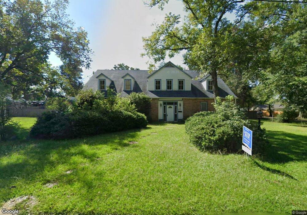
1109 W Port St Deridder, LA 70634
Estimated Value: $238,000 - $314,000
4
Beds
3
Baths
5,996
Sq Ft
$47/Sq Ft
Est. Value
About This Home
This home is located at 1109 W Port St, Deridder, LA 70634 and is currently estimated at $283,049, approximately $47 per square foot. 1109 W Port St is a home located in Beauregard Parish with nearby schools including K.R. Hanchey Elementary School, Pine Wood Elementary School, and Carver Elementary School.
Ownership History
Date
Name
Owned For
Owner Type
Purchase Details
Closed on
Aug 2, 2021
Sold by
Myler Hazel Marie Gill
Bought by
Blakeney Keeton and Blakeney Shelley Roberson
Current Estimated Value
Home Financials for this Owner
Home Financials are based on the most recent Mortgage that was taken out on this home.
Original Mortgage
$248,907
Outstanding Balance
$226,334
Interest Rate
2.9%
Mortgage Type
New Conventional
Estimated Equity
$56,715
Purchase Details
Closed on
Nov 4, 2016
Sold by
Delia Steven F and Parker Betty Lynn
Bought by
Myler Hazel Marie
Create a Home Valuation Report for This Property
The Home Valuation Report is an in-depth analysis detailing your home's value as well as a comparison with similar homes in the area
Home Values in the Area
Average Home Value in this Area
Purchase History
| Date | Buyer | Sale Price | Title Company |
|---|---|---|---|
| Blakeney Keeton | $253,500 | None Available | |
| Myler Hazel Marie | $224,500 | None Available |
Source: Public Records
Mortgage History
| Date | Status | Borrower | Loan Amount |
|---|---|---|---|
| Open | Blakeney Keeton | $248,907 |
Source: Public Records
Tax History Compared to Growth
Tax History
| Year | Tax Paid | Tax Assessment Tax Assessment Total Assessment is a certain percentage of the fair market value that is determined by local assessors to be the total taxable value of land and additions on the property. | Land | Improvement |
|---|---|---|---|---|
| 2024 | $2,845 | $27,715 | $900 | $26,815 |
| 2023 | $2,396 | $22,815 | $1,000 | $21,815 |
| 2022 | $2,396 | $22,815 | $1,000 | $21,815 |
| 2021 | $2,122 | $20,205 | $1,000 | $19,205 |
| 2020 | $1,315 | $12,523 | $1,000 | $11,523 |
| 2019 | $2,124 | $20,205 | $1,000 | $19,205 |
| 2018 | $2,124 | $20,205 | $1,000 | $19,205 |
| 2017 | $2,124 | $20,205 | $1,000 | $19,205 |
| 2016 | $925 | $8,800 | $1,000 | $7,800 |
| 2015 | $210 | $8,800 | $1,000 | $7,800 |
| 2014 | $210 | $8,800 | $1,000 | $7,800 |
Source: Public Records
Map
Nearby Homes
- 1110 W Port St Unit West Port
- 1007 Shirley St
- 115 N Texas St
- 1022 W 1st St
- 0 Bilbo Street (Tract 1)
- 106 N Texas St
- 112 S Texas St Unit S
- 801 Shirley St
- 0 Idlewood Ln
- 0 N Frusha Dr
- 307 S Texas St
- 605 Roberts St
- 1012 Mc Arthur St
- 502 S Texas St
- 108 N Division St
- 0 W Dr Tbd
- 205 N Royal St
- 721 N Texas St
- 0 Brown St Unit SWL25102366
- 104 N Royal St