11099 Fisher Rd Brockway, MI 48097
Brockway Township NeighborhoodEstimated Value: $271,000 - $345,000
3
Beds
2
Baths
1,662
Sq Ft
$181/Sq Ft
Est. Value
About This Home
This home is located at 11099 Fisher Rd, Brockway, MI 48097 and is currently estimated at $301,233, approximately $181 per square foot. 11099 Fisher Rd is a home located in St. Clair County with nearby schools including Yale Senior High School.
Ownership History
Date
Name
Owned For
Owner Type
Purchase Details
Closed on
Dec 27, 2011
Sold by
George Alan M and George Jean W
Bought by
Barr Stephen C and Barr Cassandra
Current Estimated Value
Home Financials for this Owner
Home Financials are based on the most recent Mortgage that was taken out on this home.
Original Mortgage
$150,000
Outstanding Balance
$102,836
Interest Rate
3.98%
Mortgage Type
Future Advance Clause Open End Mortgage
Estimated Equity
$198,397
Create a Home Valuation Report for This Property
The Home Valuation Report is an in-depth analysis detailing your home's value as well as a comparison with similar homes in the area
Home Values in the Area
Average Home Value in this Area
Purchase History
| Date | Buyer | Sale Price | Title Company |
|---|---|---|---|
| Barr Stephen C | $200,000 | Fidelity Natl Title Ins Co |
Source: Public Records
Mortgage History
| Date | Status | Borrower | Loan Amount |
|---|---|---|---|
| Open | Barr Stephen C | $150,000 |
Source: Public Records
Tax History Compared to Growth
Tax History
| Year | Tax Paid | Tax Assessment Tax Assessment Total Assessment is a certain percentage of the fair market value that is determined by local assessors to be the total taxable value of land and additions on the property. | Land | Improvement |
|---|---|---|---|---|
| 2025 | $2,485 | $155,800 | $0 | $0 |
| 2024 | $928 | $137,900 | $0 | $0 |
| 2023 | $884 | $150,200 | $0 | $0 |
| 2022 | $2,256 | $119,400 | $0 | $0 |
| 2021 | $2,122 | $110,400 | $0 | $0 |
| 2020 | $2,122 | $100,000 | $100,000 | $0 |
| 2019 | $2,039 | $89,300 | $0 | $0 |
| 2018 | $2,005 | $81,300 | $0 | $0 |
| 2017 | $1,999 | $73,700 | $0 | $0 |
| 2016 | $748 | $73,700 | $0 | $0 |
| 2015 | -- | $66,500 | $66,500 | $0 |
| 2014 | -- | $57,600 | $57,600 | $0 |
| 2013 | -- | $58,000 | $0 | $0 |
Source: Public Records
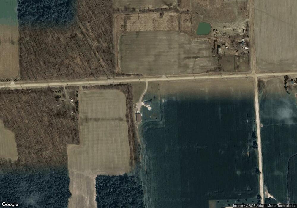
Map
Nearby Homes
- 8706 Cork Rd
- 00 La Salle St
- 0 La Salle St
- 10392 Jeddo Rd
- 305 N Kennefic St
- 303 N Kennefic St
- 208 Arthur St
- 213 Morrell St
- 7 3rd St
- 101 Morrell St
- 1 1st St
- 8060 Brockway Rd
- 203 E Mechanic St
- 106 E Mechanic St
- 109 E Wood St
- 307 Mary St
- 0 Jeddo Rd Unit 20251004474
- 8195 Jordan Rd
- 209 S Brockway Rd
- 11990 Yale Rd
- 11177 Fisher Rd
- 8970 Duquette Rd
- 10869 Fisher Rd
- 388 Hallead Rd
- 8794 Duquette Rd
- 10825 Fisher Rd
- 10835 Fisher Rd
- 8764 Duquette Rd
- 8591 Duquette Rd
- 10817 Fisher Rd
- 310 Hallead Rd
- 8740 Duquette Rd
- 10795 Fisher Rd
- 415 Hallead Rd
- 10779 Fisher Rd
- 8714 Duquette Rd
- 8722 Duquette Rd
- 10755 Fisher Rd
- 170 Hallead Rd
- 8820 Brockway Rd