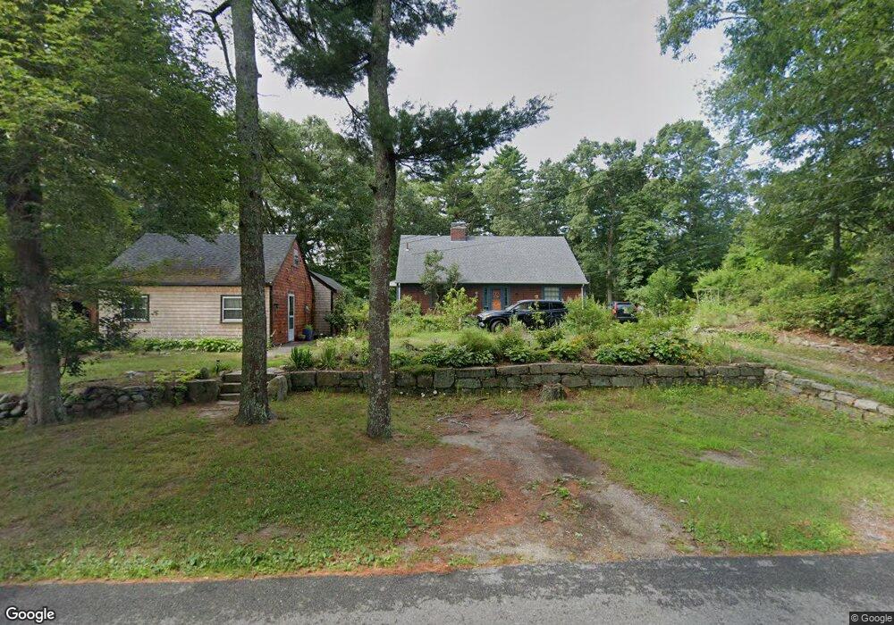
111 Acushnet Rd Unit 1 Mattapoisett, MA 02739
Estimated Value: $738,000 - $797,000
1
Bed
1
Bath
900
Sq Ft
$850/Sq Ft
Est. Value
About This Home
This home is located at 111 Acushnet Rd Unit 1, Mattapoisett, MA 02739 and is currently estimated at $765,120, approximately $850 per square foot. 111 Acushnet Rd Unit 1 is a home located in Plymouth County with nearby schools including Center School, Old Hammondtown Elementary, and Old Rochester Regional High School.
Ownership History
Date
Name
Owned For
Owner Type
Purchase Details
Closed on
Sep 7, 2005
Sold by
Alice V Buckley Rlty N and Buckley Katherine Halli
Bought by
Buckley Ray A and Buckley Flordeliza L
Current Estimated Value
Home Financials for this Owner
Home Financials are based on the most recent Mortgage that was taken out on this home.
Original Mortgage
$290,250
Interest Rate
5.79%
Mortgage Type
Purchase Money Mortgage
Create a Home Valuation Report for This Property
The Home Valuation Report is an in-depth analysis detailing your home's value as well as a comparison with similar homes in the area
Home Values in the Area
Average Home Value in this Area
Purchase History
| Date | Buyer | Sale Price | Title Company |
|---|---|---|---|
| Buckley Ray A | $380,000 | -- | |
| Buckley Ray A | $380,000 | -- |
Source: Public Records
Mortgage History
| Date | Status | Borrower | Loan Amount |
|---|---|---|---|
| Open | Buckley Ray A | $5,300 | |
| Open | Buckley Ray A | $348,500 | |
| Closed | Buckley Ray A | $290,250 |
Source: Public Records
Tax History Compared to Growth
Tax History
| Year | Tax Paid | Tax Assessment Tax Assessment Total Assessment is a certain percentage of the fair market value that is determined by local assessors to be the total taxable value of land and additions on the property. | Land | Improvement |
|---|---|---|---|---|
| 2025 | $6,552 | $608,900 | $183,500 | $425,400 |
| 2024 | $6,347 | $603,900 | $183,500 | $420,400 |
| 2023 | $6,323 | $562,000 | $180,100 | $381,900 |
| 2022 | $6,179 | $498,300 | $150,600 | $347,700 |
| 2021 | $5,590 | $431,300 | $150,600 | $280,700 |
| 2020 | $5,242 | $388,600 | $143,700 | $244,900 |
| 2019 | $5,028 | $380,600 | $135,700 | $244,900 |
| 2018 | $5,105 | $392,100 | $144,600 | $247,500 |
| 2017 | $4,972 | $380,400 | $144,600 | $235,800 |
| 2016 | $4,525 | $342,800 | $130,400 | $212,400 |
| 2015 | $4,456 | $342,800 | $130,400 | $212,400 |
| 2014 | $4,316 | $339,300 | $130,400 | $208,900 |
Source: Public Records
Map
Nearby Homes
- 83 Fairhaven Rd
- 47 Fairhaven Rd
- 3 Brandt Island Rd
- 13 Park Place
- 421 Huttleston Ave
- 0 Long Plain Rd
- 9 Hitching Post Rd
- 20 Forestview Dr
- 312 New Boston Rd
- 7 Pearl St
- 35 North St
- 12 Cannon St
- 0 Whalers Way
- 225 Mattapoisett Rd
- 8 Captains Ln
- 11 Captains Ln
- 8 Abby Ln
- 7 Laura Ln
- 52 Prince Snow Cir
- 19 High Ridge Dr
- 111 Acushnet Rd Unit 111A
- 113 Acushnet Rd
- 109 Acushnet Rd
- 108 Acushnet Rd
- 112 Acushnet Rd
- 107 Acushnet Rd
- 114 Acushnet Rd
- 106 Acushnet Rd
- 116 Acushnet Rd
- 115 Acushnet Rd
- 118 Acushnet Rd
- 100A Acushnet Rd
- 120 Acushnet Rd
- 101 Acushnet Rd
- 3 Crystal Spring Rd
- 10 Ryans Way
- 5 Crystal Spring Rd
- 123 Acushnet Rd
- 122 Acushnet Rd
- 0 Crystal Spring Rd 4 & 5 Unit 72794382