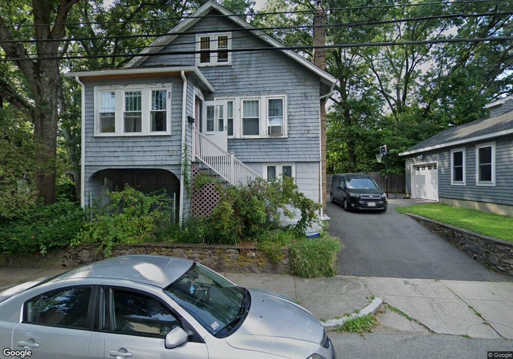
111 Alabama St Mattapan, MA 02126
Southern Mattapan NeighborhoodEstimated Value: $383,000 - $596,000
2
Beds
2
Baths
1,209
Sq Ft
$427/Sq Ft
Est. Value
About This Home
This home is located at 111 Alabama St, Mattapan, MA 02126 and is currently estimated at $515,704, approximately $426 per square foot. 111 Alabama St is a home located in Suffolk County with nearby schools including KIPP Academy Boston Charter School and Berea Seventh-day Adventist Academy.
Ownership History
Date
Name
Owned For
Owner Type
Purchase Details
Closed on
Mar 1, 2006
Sold by
Goode Barbara A
Bought by
Eaton Angela
Current Estimated Value
Home Financials for this Owner
Home Financials are based on the most recent Mortgage that was taken out on this home.
Original Mortgage
$222,400
Outstanding Balance
$125,617
Interest Rate
6.16%
Mortgage Type
Purchase Money Mortgage
Estimated Equity
$390,087
Create a Home Valuation Report for This Property
The Home Valuation Report is an in-depth analysis detailing your home's value as well as a comparison with similar homes in the area
Home Values in the Area
Average Home Value in this Area
Purchase History
| Date | Buyer | Sale Price | Title Company |
|---|---|---|---|
| Eaton Angela | $278,000 | -- |
Source: Public Records
Mortgage History
| Date | Status | Borrower | Loan Amount |
|---|---|---|---|
| Open | Eaton Angela | $222,400 |
Source: Public Records
Tax History Compared to Growth
Tax History
| Year | Tax Paid | Tax Assessment Tax Assessment Total Assessment is a certain percentage of the fair market value that is determined by local assessors to be the total taxable value of land and additions on the property. | Land | Improvement |
|---|---|---|---|---|
| 2025 | $3,626 | $313,100 | $165,300 | $147,800 |
| 2024 | $3,151 | $289,100 | $172,700 | $116,400 |
| 2023 | $2,956 | $275,200 | $164,400 | $110,800 |
| 2022 | $2,772 | $254,800 | $152,200 | $102,600 |
| 2021 | $2,515 | $235,700 | $151,800 | $83,900 |
| 2020 | $2,306 | $218,400 | $124,600 | $93,800 |
| 2019 | $2,232 | $211,800 | $112,900 | $98,900 |
| 2018 | $2,075 | $198,000 | $112,900 | $85,100 |
| 2017 | $1,923 | $181,600 | $112,900 | $68,700 |
| 2016 | $1,797 | $163,400 | $111,200 | $52,200 |
| 2015 | $1,847 | $152,500 | $120,700 | $31,800 |
| 2014 | $2,150 | $170,900 | $116,300 | $54,600 |
Source: Public Records
Map
Nearby Homes
- 14-14R Kennebec St
- 100 Itasca St
- 60 and 64 Monterey Ave
- 20 Monterey Ave
- 116 Almont St
- 10 Itasca St
- 49 Fottler Rd
- 72 Livermore St
- 58 Mattapan St
- 231 Itasca St
- 45 1st Ave Unit 111
- 12 Hiawatha Rd
- 710 Walk Hill St
- 179 Hebron St
- 4 Gilmer St
- 95 Woodhaven St
- 839-843 Cummins Hwy
- 10 Brockton St
- 1465 Blue Hill Ave
- 770 Cummins Hwy Unit 1