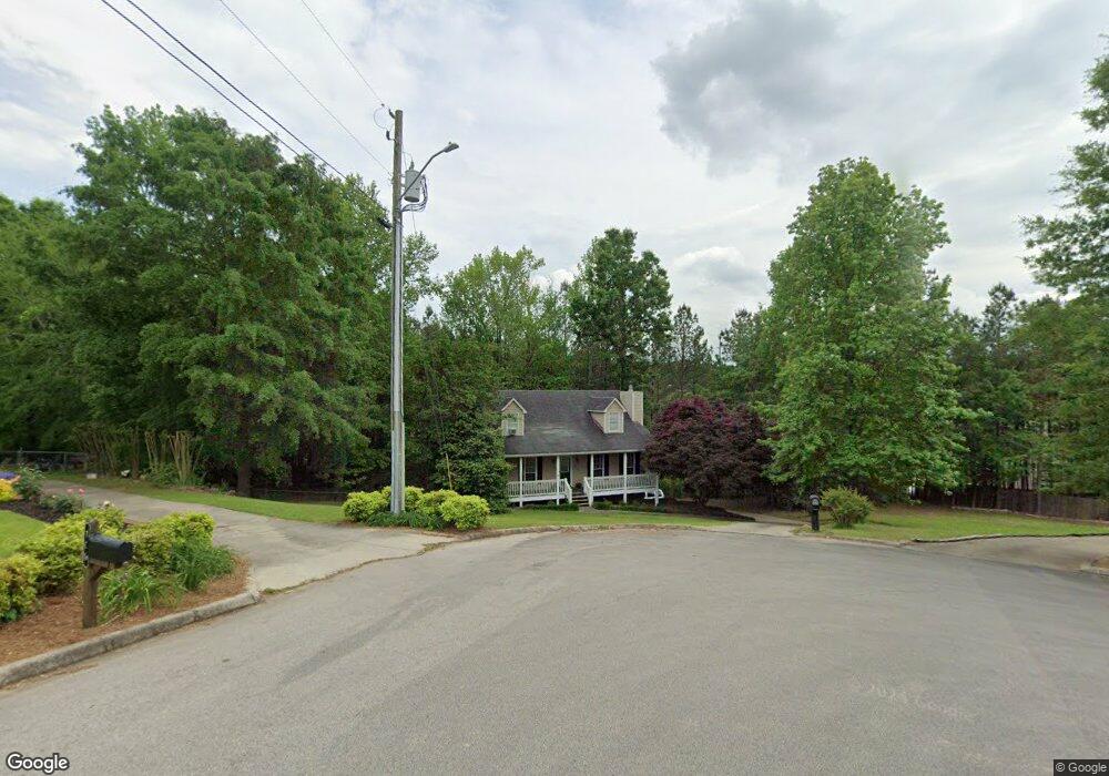
111 Aubin Ln Oneonta, AL 35121
Estimated Value: $251,000 - $299,000
3
Beds
2
Baths
1,680
Sq Ft
$162/Sq Ft
Est. Value
About This Home
This home is located at 111 Aubin Ln, Oneonta, AL 35121 and is currently estimated at $272,882, approximately $162 per square foot. 111 Aubin Ln is a home located in Blount County with nearby schools including Oneonta Elementary School, Oneonta Middle School, and Oneonta High School.
Ownership History
Date
Name
Owned For
Owner Type
Purchase Details
Closed on
Oct 22, 2008
Sold by
Bank New York Trust Company N A
Bought by
Mccray Talmadge and Mccray Frances J
Current Estimated Value
Home Financials for this Owner
Home Financials are based on the most recent Mortgage that was taken out on this home.
Original Mortgage
$109,554
Outstanding Balance
$71,723
Interest Rate
6.11%
Mortgage Type
Purchase Money Mortgage
Estimated Equity
$201,159
Purchase Details
Closed on
Jul 17, 2008
Sold by
Corvin Michael and The Bank Of New York Trust Com
Bought by
The Bank Of New York Trust Company Na
Create a Home Valuation Report for This Property
The Home Valuation Report is an in-depth analysis detailing your home's value as well as a comparison with similar homes in the area
Home Values in the Area
Average Home Value in this Area
Purchase History
| Date | Buyer | Sale Price | Title Company |
|---|---|---|---|
| Mccray Talmadge | $111,000 | -- | |
| The Bank Of New York Trust Company Na | -- | -- |
Source: Public Records
Mortgage History
| Date | Status | Borrower | Loan Amount |
|---|---|---|---|
| Open | Mccray Talmadge | $109,554 |
Source: Public Records
Tax History Compared to Growth
Tax History
| Year | Tax Paid | Tax Assessment Tax Assessment Total Assessment is a certain percentage of the fair market value that is determined by local assessors to be the total taxable value of land and additions on the property. | Land | Improvement |
|---|---|---|---|---|
| 2024 | $896 | $21,200 | $1,500 | $19,700 |
| 2023 | $896 | $19,520 | $1,500 | $18,020 |
| 2022 | $767 | $18,340 | $1,500 | $16,840 |
| 2021 | $594 | $14,480 | $1,500 | $12,980 |
| 2020 | $613 | $14,640 | $1,500 | $13,140 |
| 2019 | $601 | $14,640 | $1,500 | $13,140 |
| 2018 | $609 | $14,820 | $1,500 | $13,320 |
| 2017 | $580 | $14,180 | $0 | $0 |
| 2015 | $622 | $15,120 | $0 | $0 |
| 2014 | -- | $15,120 | $0 | $0 |
| 2013 | -- | $15,160 | $0 | $0 |
Source: Public Records
Map
Nearby Homes
- 1455 Springville Blvd
- 98 Greystone Dr
- 00 Hickory Ridge Rd Unit 40
- 204 Hickory Hill Cir
- 1011 Rose St
- 403 Central Ave
- 0 Maynor Ln Unit 21 21403594
- 393 Central Ave
- 8 Fieldview Dr
- 908 Ransome Dr
- 703 2nd St S
- 209 Hudson Ave
- 85 Trinity Ln
- 104 Harris Ave
- 713 Hoyt Berry Dr
- 407 Jackson Ave W
- 76 Woodard Dr
- 402 Adams Ave W
- 405 2nd St S
- 110 Adams Ave W
- 109 Aubin Ln
- 110 Aubin Ln
- 107 Aubin Ln
- 118 Drexal Dr
- 108 Aubin Ln
- 106 Aubin Ln
- 114 Drexal Dr
- 1401 Springville Blvd
- 406 Ridgecrest Trail
- 103 Aubin Ln
- 104 Aubin Ln
- 112 Drexal Dr
- 57 Greystone Garden Dr
- 22 Greystone Garden Dr
- 56 Greystone Garden Dr
- 42 Greystone Garden Dr
- 86 Greystone Garden Dr
- 23 Greystone Garden Dr
- 91 Greystone Garden Dr
- 91 Greystone Garden Dr