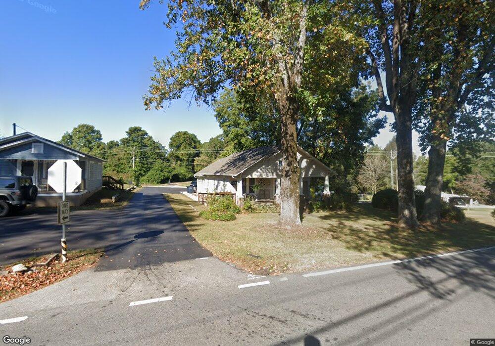
111 Cross St Demorest, GA 30535
Estimated Value: $282,352 - $297,000
3
Beds
1
Bath
1,520
Sq Ft
$190/Sq Ft
Est. Value
About This Home
This home is located at 111 Cross St, Demorest, GA 30535 and is currently estimated at $289,338, approximately $190 per square foot. 111 Cross St is a home located in Habersham County with nearby schools including Demorest Elementary School, Wilbanks Middle School, and Habersham Success Academy.
Ownership History
Date
Name
Owned For
Owner Type
Purchase Details
Closed on
Jun 1, 2007
Sold by
Not Provided
Bought by
Cranley Ward Joy and Cranley Ward
Current Estimated Value
Purchase Details
Closed on
Jan 1, 2007
Sold by
Not Provided
Bought by
Cranley Ward Joy and Cranley Ward
Purchase Details
Closed on
Apr 1, 2006
Sold by
Not Provided
Bought by
Cranley Ward Joy and Cranley Ward
Create a Home Valuation Report for This Property
The Home Valuation Report is an in-depth analysis detailing your home's value as well as a comparison with similar homes in the area
Home Values in the Area
Average Home Value in this Area
Purchase History
| Date | Buyer | Sale Price | Title Company |
|---|---|---|---|
| Cranley Ward Joy | -- | -- | |
| Cranley Ward Joy | -- | -- | |
| Cranley Ward Joy | $162,900 | -- |
Source: Public Records
Tax History
| Year | Tax Paid | Tax Assessment Tax Assessment Total Assessment is a certain percentage of the fair market value that is determined by local assessors to be the total taxable value of land and additions on the property. | Land | Improvement |
|---|---|---|---|---|
| 2025 | $3,634 | $116,037 | $42,730 | $73,307 |
| 2024 | $2,442 | $94,076 | $30,836 | $63,240 |
| 2023 | $2,081 | $83,244 | $30,836 | $52,408 |
| 2022 | $1,815 | $69,612 | $24,668 | $44,944 |
| 2021 | $1,619 | $62,360 | $22,200 | $40,160 |
| 2020 | $1,428 | $53,088 | $18,500 | $34,588 |
| 2019 | $1,429 | $53,088 | $18,500 | $34,588 |
| 2018 | $1,336 | $50,004 | $15,416 | $34,588 |
| 2017 | $1,180 | $43,936 | $12,336 | $31,600 |
| 2016 | $1,146 | $109,840 | $12,336 | $31,600 |
| 2015 | $1,132 | $109,840 | $12,336 | $31,600 |
| 2014 | $1,133 | $107,880 | $12,336 | $30,816 |
| 2013 | -- | $43,152 | $12,336 | $30,816 |
Source: Public Records
Map
Nearby Homes
- 226 Chestnut Ave
- 515 Wauka Dr
- 539 Wauka Dr
- 545 Wauka Dr
- 451 Spiral Hills Dr
- 660 Bald Ridge Cir
- 668 Bald Ridge Cir
- 314 Holley St
- 274 & 278 N Hazel Ave
- 159 Hardyville Cir
- 623 Maine St
- 150 Kentucky Dr Unit A&B
- 180 Springbrook Dr
- 151 Ivy St
- 114 Springbrook Dr
- 834 Hancock Rd
- 101 Long St
- 4444 State Highway 365
- 1562 Central Ave
- 308 Parthenia Dr
- 110 Cross St
- N Cross St
- 125 Hickory Ave
- 118 Hickory Ave Unit 143
- 340 Fisk Ave
- 125 Nevada St
- 141 Nevada St
- 141 Hickory Ave
- 359 Fisk Ave
- 383 Fisk Ave
- 470 Fisk Ave
- 141 Nevada St
- 407 Fisk Ave
- 156 Hickory Ave
- 110 Nevada St
- 187 Hickory Ave
- 270 Central Ave
- 198 Hickory Ave Unit 18&19
- 198 Hickory Ave Unit 18
- 155 Chestnut Ave
Your Personal Tour Guide
Ask me questions while you tour the home.