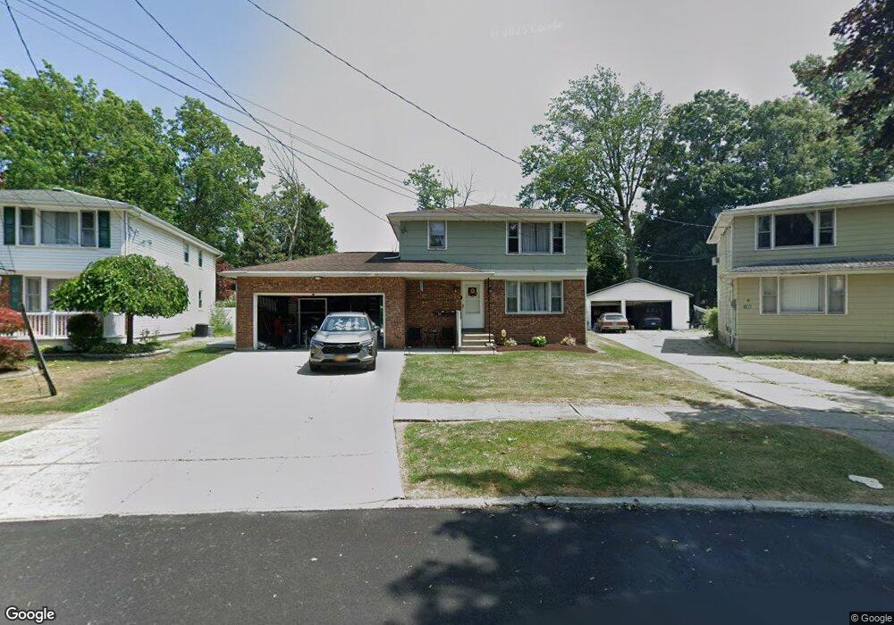
111 Dale Dr North Tonawanda, NY 14120
Estimated Value: $236,000 - $292,000
6
Beds
2
Baths
2,210
Sq Ft
$124/Sq Ft
Est. Value
About This Home
This home is located at 111 Dale Dr, North Tonawanda, NY 14120 and is currently estimated at $273,834, approximately $123 per square foot. 111 Dale Dr is a home located in Niagara County with nearby schools including North Tonawanda Intermediate School, St Matthew Lutheran School, and New Life Christian School.
Ownership History
Date
Name
Owned For
Owner Type
Purchase Details
Closed on
Nov 8, 2011
Sold by
Harlos Timothy
Bought by
Witkop Mark and Witkop Beverly
Current Estimated Value
Purchase Details
Closed on
Dec 5, 2005
Sold by
Haseley Gerald
Bought by
Harlos Timothy
Home Financials for this Owner
Home Financials are based on the most recent Mortgage that was taken out on this home.
Original Mortgage
$115,090
Interest Rate
6.34%
Mortgage Type
FHA
Create a Home Valuation Report for This Property
The Home Valuation Report is an in-depth analysis detailing your home's value as well as a comparison with similar homes in the area
Home Values in the Area
Average Home Value in this Area
Purchase History
| Date | Buyer | Sale Price | Title Company |
|---|---|---|---|
| Witkop Mark | $124,000 | None Available | |
| Harlos Timothy | $116,000 | -- |
Source: Public Records
Mortgage History
| Date | Status | Borrower | Loan Amount |
|---|---|---|---|
| Previous Owner | Harlos Timothy | $115,090 |
Source: Public Records
Tax History Compared to Growth
Tax History
| Year | Tax Paid | Tax Assessment Tax Assessment Total Assessment is a certain percentage of the fair market value that is determined by local assessors to be the total taxable value of land and additions on the property. | Land | Improvement |
|---|---|---|---|---|
| 2024 | $3,852 | $109,100 | $20,200 | $88,900 |
| 2023 | $3,756 | $109,100 | $20,200 | $88,900 |
| 2022 | $3,715 | $109,100 | $20,200 | $88,900 |
| 2021 | $3,690 | $109,100 | $20,200 | $88,900 |
| 2020 | $3,613 | $109,100 | $20,200 | $88,900 |
| 2019 | $1,495 | $109,100 | $20,200 | $88,900 |
| 2018 | $3,600 | $109,100 | $20,200 | $88,900 |
| 2017 | $3,547 | $109,100 | $20,200 | $88,900 |
| 2016 | $3,483 | $109,100 | $20,200 | $88,900 |
| 2015 | -- | $109,100 | $20,200 | $88,900 |
| 2014 | -- | $109,100 | $20,200 | $88,900 |
Source: Public Records
Map
Nearby Homes
- 84 Klaum Ave
- 513 Euclid Ave
- 595 E Robinson St
- 941 Walck Rd
- 104 Oakwood Terrace
- 993 Walck Rd
- 417 Robinson St
- 118 Zimmerman St
- 918 Remington Dr
- 843 Payne Ave
- 364 Schenck St
- 203 Edward St
- 3947 Wheatfield St
- 3941 Wheatfield St
- 3911 Wheatfield St
- 880 Thomas Fox Dr W
- 319 Rumbold Ave
- 292 Niagara St
- 299 Bryant St
- 114 Keil St