Estimated Value: $237,000 - $245,000
Studio
3
Baths
1,732
Sq Ft
$140/Sq Ft
Est. Value
About This Home
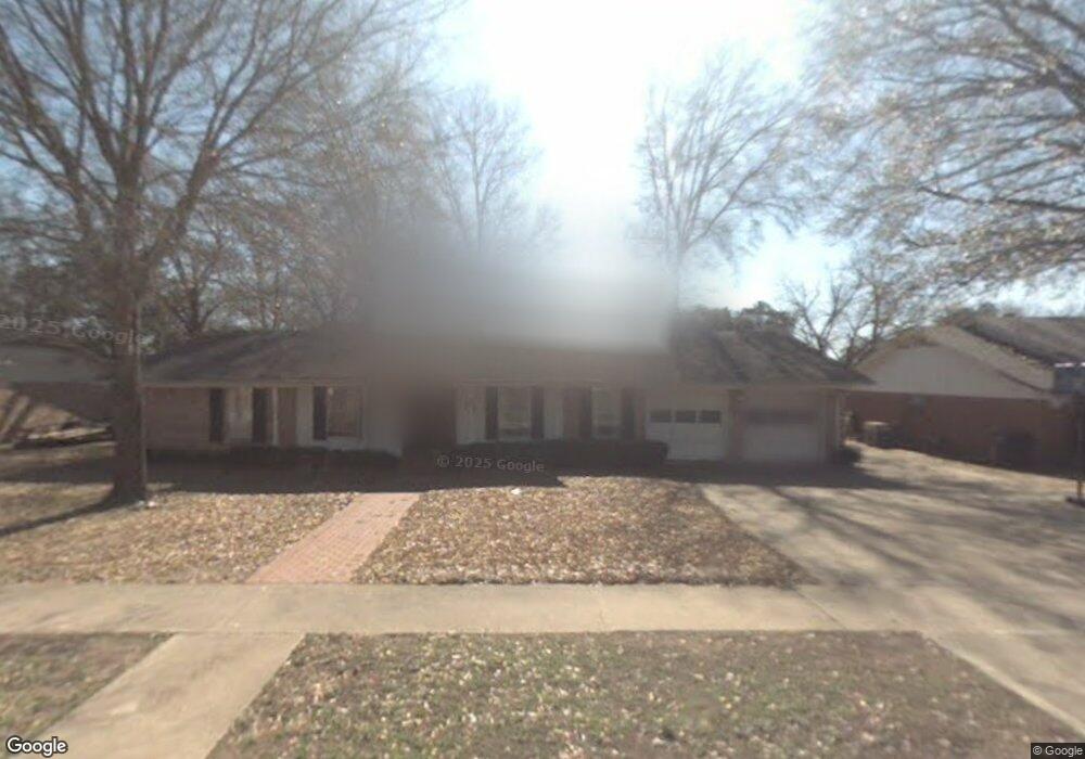
This home is located at 111 E Sheridan St, Tyler, TX 75701 and is currently estimated at $241,862, approximately $139 per square foot. 111 E Sheridan St is a home located in Smith County with nearby schools including Woods Elementary School, Hubbard Middle School, and Tyler Legacy High School.
Ownership History
Date
Name
Owned For
Owner Type
Purchase Details
Closed on
Mar 5, 2012
Sold by
Lewis Glenda Gail Day and Lewis Barney W
Bought by
Eaves Lela Chism
Current Estimated Value
Home Financials for this Owner
Home Financials are based on the most recent Mortgage that was taken out on this home.
Original Mortgage
$107,010
Outstanding Balance
$73,187
Interest Rate
3.93%
Mortgage Type
Seller Take Back
Estimated Equity
$168,675
Create a Home Valuation Report for This Property
The Home Valuation Report is an in-depth analysis detailing your home's value as well as a comparison with similar homes in the area
Purchase History
| Date | Buyer | Sale Price | Title Company |
|---|---|---|---|
| Eaves Lela Chism | -- | None Available |
Source: Public Records
Mortgage History
| Date | Status | Borrower | Loan Amount |
|---|---|---|---|
| Open | Eaves Lela Chism | $107,010 |
Source: Public Records
Tax History
| Year | Tax Paid | Tax Assessment Tax Assessment Total Assessment is a certain percentage of the fair market value that is determined by local assessors to be the total taxable value of land and additions on the property. | Land | Improvement |
|---|---|---|---|---|
| 2025 | $2,126 | $243,806 | $39,876 | $203,930 |
| 2024 | $397 | $198,460 | $32,912 | $206,474 |
| 2023 | $3,145 | $247,706 | $32,912 | $214,794 |
| 2022 | $3,213 | $179,146 | $24,017 | $155,129 |
| 2021 | $3,128 | $149,105 | $24,017 | $125,088 |
| 2020 | $3,099 | $144,821 | $24,017 | $120,804 |
| 2019 | $3,061 | $139,974 | $17,790 | $122,184 |
| 2018 | $3,017 | $138,738 | $17,790 | $120,948 |
| 2017 | $2,784 | $130,566 | $17,790 | $112,776 |
| 2016 | $2,531 | $118,564 | $17,790 | $100,774 |
| 2015 | $988 | $114,297 | $17,790 | $96,507 |
| 2014 | $988 | $114,607 | $17,790 | $96,817 |
Source: Public Records
Map
Nearby Homes
- 3140 Bracken Dr
- 3126 Colgate Ave
- 2916 Crestview Ave
- 505 Buckingham Place
- 509 Buckingham Place
- 309 Glenhaven Dr
- 317 Amberwood Cir
- 504 Hyde Park Dr
- 507 Hyde Park Dr
- 2917 Sunnybrook Dr
- 3308 Trafalgar Square
- 3432 New Copeland Rd
- 2904 New Copeland Rd
- 611 E Watkins St
- 614 Zelwood Dr
- 3528 New Copeland Rd
- 601 Windsor Place
- Eastside Rd
- 640 Beechwood Dr
- 414 Wilma St
- 119 119 E Sheridan St
- 119 119 Sheridan
- 119 E Sheridan St
- 101 E Sheridan St
- 110 Samuel Dr
- 118 Samuel Dr
- 100 Samuel Dr
- 110 110 Sheridan St
- 207 E Sheridan St
- 118 118 E Sheridan
- 207 207 E Sheridan
- 207 207 Sheridan
- 110 E Sheridan St
- 118 E Sheridan St
- 206 Samuel Dr
- 206 206 E Sheridan St
- 206 E Sheridan St
- 212 Samuel Dr
- 111 111 Samuel
- 3124 3124 Bracken
Your Personal Tour Guide
Ask me questions while you tour the home.