111 Fokes Rd Byromville, GA 31007
Estimated Value: $149,426 - $216,000
3
Beds
2
Baths
1,917
Sq Ft
$94/Sq Ft
Est. Value
About This Home
This home is located at 111 Fokes Rd, Byromville, GA 31007 and is currently estimated at $179,357, approximately $93 per square foot. 111 Fokes Rd is a home with nearby schools including Dooly County Elementary School, Dooly County Middle School, and Dooly County High School.
Ownership History
Date
Name
Owned For
Owner Type
Purchase Details
Closed on
Nov 21, 2006
Sold by
Braxton James A
Bought by
Mullis Robert T and Griffin Michael C
Current Estimated Value
Purchase Details
Closed on
Jan 3, 1994
Bought by
Burnam Suzette
Purchase Details
Closed on
Jun 10, 1988
Bought by
Moore Moore H and Moore F
Purchase Details
Closed on
Feb 15, 1984
Bought by
West Horace & Sons
Purchase Details
Closed on
Jul 5, 1983
Bought by
Federal Land Bank
Purchase Details
Closed on
Feb 5, 1957
Bought by
Raper Ralph
Create a Home Valuation Report for This Property
The Home Valuation Report is an in-depth analysis detailing your home's value as well as a comparison with similar homes in the area
Home Values in the Area
Average Home Value in this Area
Purchase History
| Date | Buyer | Sale Price | Title Company |
|---|---|---|---|
| Mullis Robert T | $4,799,805 | -- | |
| Braxton James A | $4,799,805 | -- | |
| Burnam Suzette | $25,000 | -- | |
| Moore Moore H | $35,000 | -- | |
| West Horace & Sons | $220,000 | -- | |
| Federal Land Bank | -- | -- | |
| Raper Ralph | $1,100 | -- |
Source: Public Records
Tax History Compared to Growth
Tax History
| Year | Tax Paid | Tax Assessment Tax Assessment Total Assessment is a certain percentage of the fair market value that is determined by local assessors to be the total taxable value of land and additions on the property. | Land | Improvement |
|---|---|---|---|---|
| 2024 | $1,071 | $38,532 | $2,360 | $36,172 |
| 2023 | $1,248 | $38,332 | $2,160 | $36,172 |
| 2022 | $990 | $30,812 | $3,320 | $27,492 |
| 2021 | $749 | $23,148 | $2,560 | $20,588 |
| 2020 | $820 | $23,148 | $2,560 | $20,588 |
| 2019 | $749 | $23,148 | $2,560 | $20,588 |
| 2018 | $729 | $23,148 | $2,560 | $20,588 |
| 2017 | $798 | $23,148 | $2,560 | $20,588 |
| 2016 | $729 | $23,148 | $2,560 | $20,588 |
| 2015 | $730 | $23,148 | $2,560 | $20,588 |
| 2014 | $715 | $23,148 | $2,560 | $20,588 |
| 2013 | -- | $21,372 | $2,360 | $19,012 |
Source: Public Records
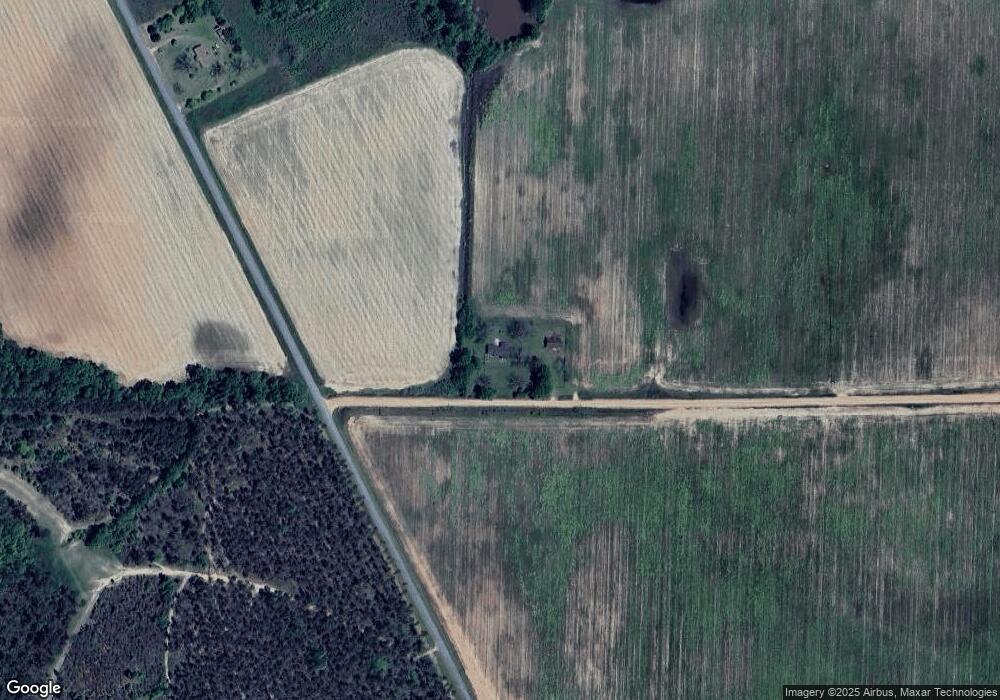
Map
Nearby Homes