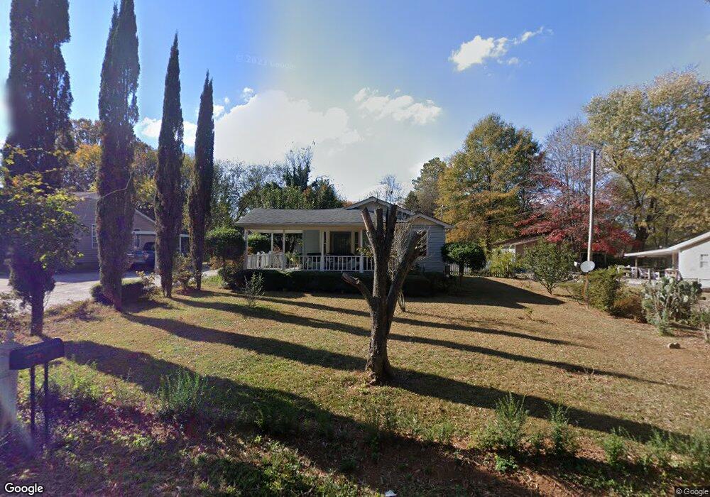
111 Fox St Calhoun, GA 30701
Estimated Value: $120,149 - $199,000
2
Beds
1
Bath
784
Sq Ft
$210/Sq Ft
Est. Value
About This Home
This home is located at 111 Fox St, Calhoun, GA 30701 and is currently estimated at $164,537, approximately $209 per square foot. 111 Fox St is a home located in Gordon County with nearby schools including Calhoun Primary School, Calhoun Elementary School, and Calhoun Middle School.
Ownership History
Date
Name
Owned For
Owner Type
Purchase Details
Closed on
Jun 13, 2002
Sold by
Brooks William Joseph
Bought by
Torres Leopoldo and Torres Maria
Current Estimated Value
Purchase Details
Closed on
Feb 15, 2001
Sold by
Skates Eric L
Bought by
Brooks William Joseph
Purchase Details
Closed on
Jul 7, 1997
Bought by
Skates Eric L
Purchase Details
Closed on
Oct 13, 1993
Bought by
Reed Floyd Clayton and Reed Dorothy
Create a Home Valuation Report for This Property
The Home Valuation Report is an in-depth analysis detailing your home's value as well as a comparison with similar homes in the area
Home Values in the Area
Average Home Value in this Area
Purchase History
| Date | Buyer | Sale Price | Title Company |
|---|---|---|---|
| Torres Leopoldo | $74,900 | -- | |
| Brooks William Joseph | $67,000 | -- | |
| Skates Eric L | $49,900 | -- | |
| Reed Floyd Clayton | $18,000 | -- |
Source: Public Records
Tax History Compared to Growth
Tax History
| Year | Tax Paid | Tax Assessment Tax Assessment Total Assessment is a certain percentage of the fair market value that is determined by local assessors to be the total taxable value of land and additions on the property. | Land | Improvement |
|---|---|---|---|---|
| 2024 | $803 | $29,200 | $5,600 | $23,600 |
| 2023 | $760 | $27,680 | $5,600 | $22,080 |
| 2022 | $232 | $26,360 | $5,600 | $20,760 |
| 2021 | $624 | $21,600 | $5,600 | $16,000 |
| 2020 | $637 | $21,880 | $5,600 | $16,280 |
| 2019 | $636 | $21,880 | $5,600 | $16,280 |
| 2018 | $180 | $20,720 | $5,600 | $15,120 |
| 2017 | $175 | $19,800 | $5,600 | $14,200 |
| 2016 | $175 | $19,800 | $5,600 | $14,200 |
| 2015 | $175 | $19,520 | $5,600 | $13,920 |
| 2014 | $163 | $18,571 | $5,600 | $12,971 |
Source: Public Records
Map
Nearby Homes
- 0 W Belmont Dr Unit 10489910
- 00 Belmont Dr
- The Pearson Plan at Creekview
- The Coleman Plan at Creekview
- The Benson II Plan at Creekview
- The Piedmont Plan at Creekview
- The Harrington Plan at Creekview
- The McGinnis Plan at Creekview
- The Caldwell Plan at Creekview
- 402 Linda Ln
- 1311 Us Highway 41
- 199 Cherry St SE
- 1401 U S 41
- 212 Sherwood Dr
- 490 McDaniel Station Rd SW
- 506 McDaniel Station Rd SW
- 458 McDaniel Station Rd SW
- 474 McDaniel Station Rd SW
- 306 E Belmont Dr
- 119 Deer Park Ln