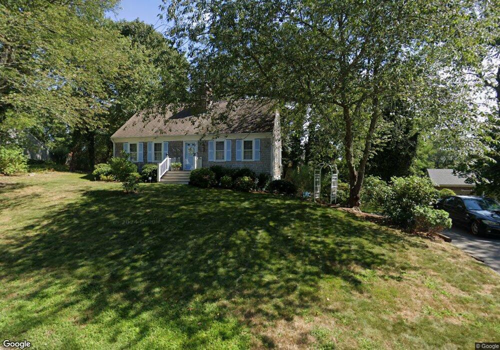
111 Freeboard Ln Yarmouth Port, MA 02675
Yarmouth Port NeighborhoodEstimated Value: $585,988 - $748,000
3
Beds
1
Bath
1,300
Sq Ft
$503/Sq Ft
Est. Value
About This Home
This home is located at 111 Freeboard Ln, Yarmouth Port, MA 02675 and is currently estimated at $653,747, approximately $502 per square foot. 111 Freeboard Ln is a home located in Barnstable County with nearby schools including Dennis-Yarmouth Regional High School, St. Pius X. School, and Trinity Christian Academy of Cape Cod.
Ownership History
Date
Name
Owned For
Owner Type
Purchase Details
Closed on
Mar 26, 2024
Sold by
Hanley Elizabeth A and Hanley Peter M
Bought by
Hanley Ft and Hanley
Current Estimated Value
Create a Home Valuation Report for This Property
The Home Valuation Report is an in-depth analysis detailing your home's value as well as a comparison with similar homes in the area
Home Values in the Area
Average Home Value in this Area
Purchase History
| Date | Buyer | Sale Price | Title Company |
|---|---|---|---|
| Hanley Ft | -- | None Available |
Source: Public Records
Tax History Compared to Growth
Tax History
| Year | Tax Paid | Tax Assessment Tax Assessment Total Assessment is a certain percentage of the fair market value that is determined by local assessors to be the total taxable value of land and additions on the property. | Land | Improvement |
|---|---|---|---|---|
| 2025 | $3,872 | $546,900 | $164,300 | $382,600 |
| 2024 | $3,584 | $485,700 | $142,900 | $342,800 |
| 2023 | $3,589 | $442,600 | $129,900 | $312,700 |
| 2022 | $3,296 | $359,000 | $124,000 | $235,000 |
| 2021 | $3,239 | $338,800 | $124,000 | $214,800 |
| 2020 | $451 | $319,700 | $131,300 | $188,400 |
| 2019 | $445 | $296,400 | $131,300 | $165,100 |
| 2018 | $2,825 | $274,500 | $109,400 | $165,100 |
| 2017 | $449 | $274,500 | $109,400 | $165,100 |
| 2016 | $2,652 | $265,700 | $100,600 | $165,100 |
| 2015 | $2,489 | $247,900 | $96,300 | $151,600 |
Source: Public Records
Map
Nearby Homes
- 8 Rowley Ln
- 1 Barnacle Rd
- 86 Pompano Rd
- 209 Union St
- 24 Minnetuxet Way
- 32 Deveau Ln
- 16 Warren Rd Unit 16
- 16 Warren Rd
- 25 Oak Glen
- 25 Oak Glen Village Unit 25
- 43 Canterbury Rd
- 933-935 W Yarmouth Rd
- 2 Pine Grove
- 882 W Yarmouth Rd
- 44 Stratford Ln
- 7 Forest Gate Unit 7
- 34 Kates Path
- 34 Kates Path Unit 34
- 23 Dauphine Dr
- 17 Kates Path Unit A
- 16 Knollwood Dr
- 105 Freeboard Ln
- 22 Knollwood Dr
- 117 Freeboard Ln
- 108 Freeboard Ln
- 112 Freeboard Ln
- 10 Knollwood Dr
- 101 Freeboard Ln
- 102 Freeboard Ln
- 19 Knollwood Dr
- 118 Freeboard Ln
- 26 Knollwood Dr
- 15 Clinton Dr
- 36 Knollwood Dr
- 27 Knollwood Dr
- 9 Knollwood Dr
- 4 Knollwood Dr
- 11 Clinton Dr
- 17 Clinton Dr
- 11 Brattle Dr