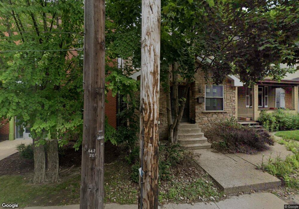
111 Freeport Rd Aspinwall, PA 15215
Estimated Value: $344,000 - $656,000
3
Beds
3
Baths
2,462
Sq Ft
$204/Sq Ft
Est. Value
About This Home
This home is located at 111 Freeport Rd, Aspinwall, PA 15215 and is currently estimated at $502,204, approximately $203 per square foot. 111 Freeport Rd is a home located in Allegheny County with nearby schools including Fox Chapel Area High School, Sacred Heart Elementary School, and The Ellis School.
Ownership History
Date
Name
Owned For
Owner Type
Purchase Details
Closed on
Jul 29, 2015
Sold by
Targe Energy Llc
Bought by
Black Butte Llc
Current Estimated Value
Purchase Details
Closed on
Apr 16, 2010
Sold by
Eight Seconds L L C
Bought by
Targe Energy L L C
Purchase Details
Closed on
Feb 8, 2006
Sold by
Grant Richard E
Bought by
Eight Seconds L L C
Home Financials for this Owner
Home Financials are based on the most recent Mortgage that was taken out on this home.
Original Mortgage
$72,250
Interest Rate
6.27%
Mortgage Type
Construction
Create a Home Valuation Report for This Property
The Home Valuation Report is an in-depth analysis detailing your home's value as well as a comparison with similar homes in the area
Home Values in the Area
Average Home Value in this Area
Purchase History
We collect this data history from publicly available records. To have your information removed, we recommend requesting removal directly through your county’s website.
| Date | Buyer | Sale Price | Title Company |
|---|---|---|---|
| Black Butte Llc | $285,000 | -- | |
| Targe Energy L L C | $283,341 | -- | |
| Eight Seconds L L C | $85,000 | -- |
Source: Public Records
Mortgage History
We collect this data history from publicly available records. To have your information removed, we recommend requesting removal directly through your county’s website.
| Date | Status | Borrower | Loan Amount |
|---|---|---|---|
| Previous Owner | Eight Seconds L L C | $72,250 |
Source: Public Records
Tax History
| Year | Tax Paid | Tax Assessment Tax Assessment Total Assessment is a certain percentage of the fair market value that is determined by local assessors to be the total taxable value of land and additions on the property. | Land | Improvement |
|---|---|---|---|---|
| 2025 | $9,041 | $267,300 | $82,500 | $184,800 |
| 2024 | $9,041 | $267,300 | $82,500 | $184,800 |
| 2023 | $8,559 | $267,300 | $82,500 | $184,800 |
| 2022 | $8,478 | $267,300 | $82,500 | $184,800 |
| 2021 | $1,264 | $267,300 | $82,500 | $184,800 |
| 2020 | $8,330 | $267,300 | $82,500 | $184,800 |
| 2019 | $8,330 | $267,300 | $82,500 | $184,800 |
| 2018 | $1,264 | $267,300 | $82,500 | $184,800 |
| 2017 | $7,905 | $267,300 | $82,500 | $184,800 |
| 2016 | $1,264 | $267,300 | $82,500 | $184,800 |
| 2015 | $1,264 | $267,300 | $82,500 | $184,800 |
| 2014 | $7,543 | $267,300 | $82,500 | $184,800 |
Source: Public Records
Map
Nearby Homes
- 110 Western Ave
- 122 4th St
- 406 Center Ave
- 312 2nd St
- 225 4th St
- 33 5th St
- 322 2nd St
- 309 Highland Terrace
- 131 Virginia Ave
- 221 Virginia Ave
- 212 Virginia Ave
- 400 Virginia Ave
- 205 Lexington Ave
- 202 10th St
- 1004 River Oaks Dr
- 701 4th St Unit 2
- 105 Delafield Rd
- 118 21st St Unit 116
- 118 21st St
- 2008 Main St
Your Personal Tour Guide
Ask me questions while you tour the home.