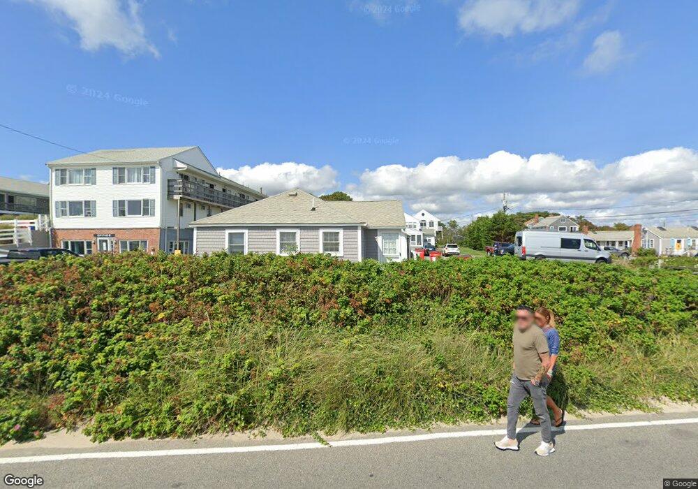
111 Glendon Rd Unit 6 Dennis Port, MA 02639
Dennis Port NeighborhoodEstimated Value: $383,000 - $423,058
2
Beds
1
Bath
476
Sq Ft
$843/Sq Ft
Est. Value
About This Home
This home is located at 111 Glendon Rd Unit 6, Dennis Port, MA 02639 and is currently estimated at $401,265, approximately $842 per square foot. 111 Glendon Rd Unit 6 is a home located in Barnstable County with nearby schools including Dennis-Yarmouth Regional High School and St. Pius X. School.
Ownership History
Date
Name
Owned For
Owner Type
Purchase Details
Closed on
Jan 9, 2009
Sold by
Murphy Lauren Marie and Murphy Lawrence E
Bought by
Pacino Henry R and Pacino Theresa M
Current Estimated Value
Purchase Details
Closed on
Dec 8, 1999
Sold by
Ficco Robert E and Ficco Paul F
Bought by
Murphy Lawrence E and Murphy Frances L
Create a Home Valuation Report for This Property
The Home Valuation Report is an in-depth analysis detailing your home's value as well as a comparison with similar homes in the area
Home Values in the Area
Average Home Value in this Area
Purchase History
| Date | Buyer | Sale Price | Title Company |
|---|---|---|---|
| Pacino Henry R | $190,000 | -- | |
| Pacino Henry R | $190,000 | -- | |
| Murphy Lawrence E | $92,500 | -- | |
| Murphy Lawrence E | $92,500 | -- |
Source: Public Records
Tax History Compared to Growth
Tax History
| Year | Tax Paid | Tax Assessment Tax Assessment Total Assessment is a certain percentage of the fair market value that is determined by local assessors to be the total taxable value of land and additions on the property. | Land | Improvement |
|---|---|---|---|---|
| 2025 | $1,612 | $372,400 | $0 | $372,400 |
| 2024 | $1,399 | $318,600 | $0 | $318,600 |
| 2023 | $1,220 | $261,200 | $0 | $261,200 |
| 2022 | $1,140 | $203,600 | $0 | $203,600 |
| 2021 | $1,106 | $183,400 | $0 | $183,400 |
| 2020 | $1,086 | $178,100 | $0 | $178,100 |
| 2019 | $952 | $154,300 | $0 | $154,300 |
| 2018 | $922 | $145,500 | $0 | $145,500 |
| 2017 | $895 | $145,500 | $0 | $145,500 |
| 2016 | $907 | $138,900 | $0 | $138,900 |
| 2015 | $889 | $138,900 | $0 | $138,900 |
| 2014 | $943 | $148,500 | $0 | $148,500 |
Source: Public Records
Map
Nearby Homes
- 154 Old Wharf Rd Unit 26
- 154 Old Wharf Rd Unit 14
- 120 Old Wharf Rd Unit 11
- 112 Old Wharf Rd Unit E4
- 112 Old Wharf Rd Unit E1
- 64 Beaten Rd
- 217 Old Wharf Rd Unit 64
- 241 Old Wharf Rd Unit 82
- 241 Old Wharf Rd Unit 127
- 241 Old Wharf Rd Unit 90
- 37 Ocean Dr Unit 2
- 262 Old Wharf Rd Unit 67
- 262 Old Wharf Rd Unit 5
- 262 Old Wharf Rd Unit 5
- 262 Old Wharf Rd Unit 20
- 262 Old Wharf Rd Unit 87
- 37 Beach Hills Rd
- 37-A Beach Hills Rd
- 31 Easy St
- 22 Ferncliff Rd
- 111 Glendon Rd Unit 5
- 111 Glendon Rd Unit 4
- 111 Glendon Rd Unit 3
- 111 Glendon Rd Unit 2
- 111 Glendon Rd Unit 1
- 111 Glendon Rd
- 111 Glendon Rd Unit 6
- 111 Glendon Rd Unit 1
- 107 Glendon Rd
- 154 Old Wharf Rd Unit 54
- 154 Old Wharf Rd Unit 26
- 154 Old Wharf Rd Unit 41
- 154 Old Wharf Rd Unit 55
- 154 Oceanside Condominium Unit 61
- 154 Oceanside Condominium Unit 62
- 0 Beach Hills Condo Unit 2 2022400
- 0 Beach Hills Condo Unit 3
- 6 Glendon Rd
- 5 Glendon Rd
- 154 Old Wharf Rd Unit 53