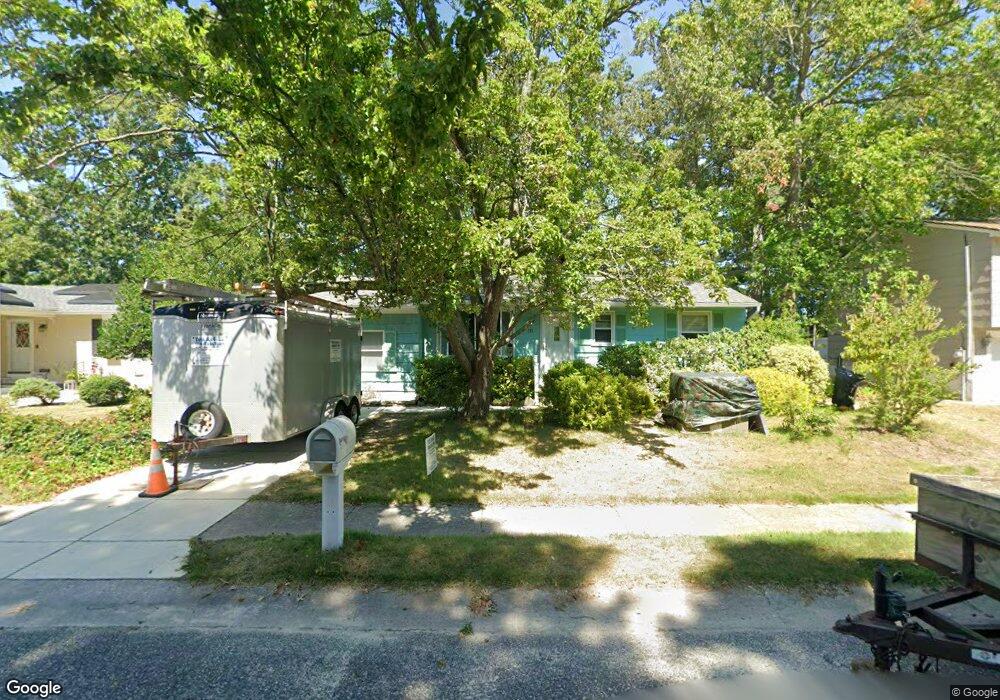
111 Heide Ave Cape May, NJ 08204
Estimated Value: $362,336 - $477,000
--
Bed
--
Bath
906
Sq Ft
$467/Sq Ft
Est. Value
About This Home
This home is located at 111 Heide Ave, Cape May, NJ 08204 and is currently estimated at $423,334, approximately $467 per square foot. 111 Heide Ave is a home located in Cape May County with nearby schools including David C. Douglass Veterans Memorial School, Carl T. Mitnick School, and Maud Abrams School.
Ownership History
Date
Name
Owned For
Owner Type
Purchase Details
Closed on
May 12, 2006
Sold by
Kneipp Clifford J
Bought by
Christiansen Peter and Christiansen Linda
Current Estimated Value
Home Financials for this Owner
Home Financials are based on the most recent Mortgage that was taken out on this home.
Original Mortgage
$184,000
Outstanding Balance
$107,900
Interest Rate
6.62%
Mortgage Type
Fannie Mae Freddie Mac
Estimated Equity
$315,434
Purchase Details
Closed on
Apr 30, 1991
Sold by
Buzzard Eleanor S
Bought by
Kneipp Clifford J
Create a Home Valuation Report for This Property
The Home Valuation Report is an in-depth analysis detailing your home's value as well as a comparison with similar homes in the area
Home Values in the Area
Average Home Value in this Area
Purchase History
| Date | Buyer | Sale Price | Title Company |
|---|---|---|---|
| Christiansen Peter | $230,000 | Shore Title Agency Inc | |
| Kneipp Clifford J | $72,500 | -- |
Source: Public Records
Mortgage History
| Date | Status | Borrower | Loan Amount |
|---|---|---|---|
| Open | Christiansen Peter | $184,000 |
Source: Public Records
Tax History Compared to Growth
Tax History
| Year | Tax Paid | Tax Assessment Tax Assessment Total Assessment is a certain percentage of the fair market value that is determined by local assessors to be the total taxable value of land and additions on the property. | Land | Improvement |
|---|---|---|---|---|
| 2025 | $3,206 | $158,100 | $88,700 | $69,400 |
| 2024 | $3,206 | $158,100 | $88,700 | $69,400 |
| 2023 | $3,160 | $158,100 | $88,700 | $69,400 |
| 2022 | $3,064 | $158,100 | $88,700 | $69,400 |
| 2021 | $2,972 | $158,100 | $88,700 | $69,400 |
| 2020 | $2,925 | $158,100 | $88,700 | $69,400 |
| 2019 | $2,852 | $158,100 | $88,700 | $69,400 |
| 2018 | $2,784 | $158,100 | $88,700 | $69,400 |
| 2017 | $2,787 | $158,100 | $88,700 | $69,400 |
| 2016 | $2,745 | $158,100 | $88,700 | $69,400 |
| 2015 | $2,656 | $158,100 | $88,700 | $69,400 |
| 2014 | $2,569 | $158,100 | $88,700 | $69,400 |
Source: Public Records
Map
Nearby Homes
- 113 Heidi Ave
- 217 Mindy Ave
- 215 Roseann Ave
- 226 Joanne St
- 236 Roseann Ave
- 105 Orchard Dr
- 118 Old Mill Dr
- 207 Old Mill Dr
- 319 Roseann Ave
- 4 Osprey Dr
- 100 Breakwater Terrace Unit UN100
- 66 Beachhurst Dr
- 113 Beachhurst Dr
- 54 Heron Way
- 305 Whildam Ave
- 3125 Hemlock Rd
- 507 Scotty Blvd Unit 12
- 67 Capewoods Rd
- 702 Gordon Terrace
- 402 Whildam Ave