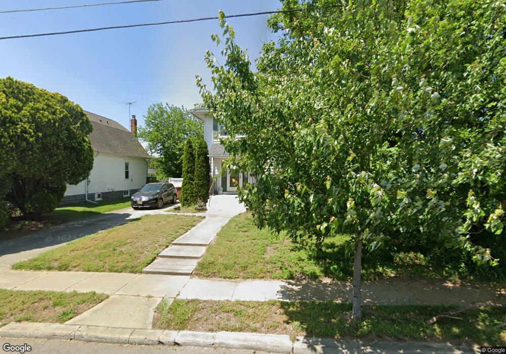
111 Helms Ave Swedesboro, NJ 08085
Estimated Value: $268,800 - $340,000
--
Bed
--
Bath
2,096
Sq Ft
$146/Sq Ft
Est. Value
About This Home
This home is located at 111 Helms Ave, Swedesboro, NJ 08085 and is currently estimated at $305,450, approximately $145 per square foot. 111 Helms Ave is a home located in Gloucester County with nearby schools including Margaret C Clifford School, Gov. Charles C. Stratton School, and Gen. Charles G. Harker School.
Ownership History
Date
Name
Owned For
Owner Type
Purchase Details
Closed on
Nov 10, 2021
Sold by
Weeks George J and Weeks Laura B
Bought by
Weeks George J
Current Estimated Value
Purchase Details
Closed on
Mar 30, 1998
Sold by
Ciemny Steven and Ciemny Kimberly Bozine
Bought by
Weeks George and Weeks Laura
Home Financials for this Owner
Home Financials are based on the most recent Mortgage that was taken out on this home.
Original Mortgage
$108,800
Outstanding Balance
$20,275
Interest Rate
6.89%
Mortgage Type
FHA
Estimated Equity
$285,175
Create a Home Valuation Report for This Property
The Home Valuation Report is an in-depth analysis detailing your home's value as well as a comparison with similar homes in the area
Home Values in the Area
Average Home Value in this Area
Purchase History
| Date | Buyer | Sale Price | Title Company |
|---|---|---|---|
| Weeks George J | -- | None Available | |
| Weeks George | $108,900 | Franklin Title Agency Inc |
Source: Public Records
Mortgage History
| Date | Status | Borrower | Loan Amount |
|---|---|---|---|
| Open | Weeks George | $108,800 |
Source: Public Records
Tax History Compared to Growth
Tax History
| Year | Tax Paid | Tax Assessment Tax Assessment Total Assessment is a certain percentage of the fair market value that is determined by local assessors to be the total taxable value of land and additions on the property. | Land | Improvement |
|---|---|---|---|---|
| 2025 | $6,387 | $150,200 | $28,200 | $122,000 |
| 2024 | $6,331 | $150,200 | $28,200 | $122,000 |
| 2023 | $6,331 | $150,200 | $28,200 | $122,000 |
| 2022 | $6,317 | $150,200 | $28,200 | $122,000 |
| 2021 | $6,322 | $150,200 | $28,200 | $122,000 |
| 2020 | $6,098 | $150,200 | $28,200 | $122,000 |
| 2019 | $5,990 | $150,200 | $28,200 | $122,000 |
| 2018 | $6,049 | $150,200 | $28,200 | $122,000 |
| 2017 | $6,016 | $150,200 | $28,200 | $122,000 |
| 2016 | $6,010 | $150,200 | $28,200 | $122,000 |
| 2015 | $5,837 | $150,200 | $28,200 | $122,000 |
| 2014 | $5,781 | $157,700 | $30,600 | $127,100 |
Source: Public Records
Map
Nearby Homes
- 119 Railroad Ave
- 400 2nd St
- 1602 Kings Hwy
- 1720-22 Kings Hwy
- 26 Garwin Rd
- 1030 Auburn Rd
- 2153 Route 322
- 48 Garwin Rd
- 112 Jules Dr
- 218 Dominics Ct
- 1932 Kings Hwy
- 23 Regals Ct
- 1508 Lexington Mews
- 155 Erica Ct
- 163 Erica Ct
- 364 High Hill Rd
- 347 Paulsboro Rd
- 503 Sammy St
- 233 Franklinville Rd
- 213 Dalton Dr
- 115 Helms Ave
- 107 Helms Ave
- 311 Anderson Ave
- 117 Helms Ave
- 108 Helms Ave
- 104 Helms Ave
- 119 Helms Ave
- 312 Anderson Ave
- 300 Fow Ave
- 110 Helms Ave
- 100 Helms Ave
- 314 Anderson Ave
- 121 Helms Ave
- 118 Helms Ave
- 118 Helms Ave
- 316 Anderson Ave
- 232 Broad St Unit M01
- 307 Weatherby Ave
- 234 Broad St
- 310 Anderson Ave