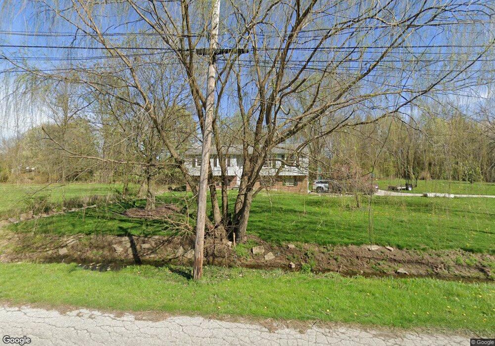
111 Highland Ave Munroe Falls, OH 44262
Estimated Value: $260,000 - $314,000
3
Beds
2
Baths
1,288
Sq Ft
$221/Sq Ft
Est. Value
About This Home
This home is located at 111 Highland Ave, Munroe Falls, OH 44262 and is currently estimated at $284,692, approximately $221 per square foot. 111 Highland Ave is a home located in Summit County with nearby schools including Stow-Munroe Falls High School, Chapel Hill Christian School, and Cornerstone Community School.
Ownership History
Date
Name
Owned For
Owner Type
Purchase Details
Closed on
May 18, 2016
Sold by
Corathers Robert M
Bought by
Corathers Tara L
Current Estimated Value
Purchase Details
Closed on
Mar 30, 2015
Sold by
Rorrer Jason P
Bought by
Thompson Larry D and Thompson Arlene M
Purchase Details
Closed on
Mar 24, 2015
Sold by
Thompson Larry D and Thompson Arlen M
Bought by
Corathers Tara L and Corathers Robert M
Purchase Details
Closed on
Feb 7, 2015
Sold by
Pugh Daniel J
Bought by
Rorrer Jason P
Create a Home Valuation Report for This Property
The Home Valuation Report is an in-depth analysis detailing your home's value as well as a comparison with similar homes in the area
Home Values in the Area
Average Home Value in this Area
Purchase History
| Date | Buyer | Sale Price | Title Company |
|---|---|---|---|
| Corathers Tara L | -- | None Available | |
| Thompson Larry D | -- | None Available | |
| Corathers Tara L | -- | None Available | |
| Rorrer Jason P | $135,000 | Akron Title |
Source: Public Records
Tax History Compared to Growth
Tax History
| Year | Tax Paid | Tax Assessment Tax Assessment Total Assessment is a certain percentage of the fair market value that is determined by local assessors to be the total taxable value of land and additions on the property. | Land | Improvement |
|---|---|---|---|---|
| 2025 | $3,739 | $67,257 | $13,269 | $53,988 |
| 2024 | $3,739 | $67,257 | $13,269 | $53,988 |
| 2023 | $3,739 | $67,257 | $13,269 | $53,988 |
| 2022 | $3,396 | $52,794 | $10,367 | $42,427 |
| 2021 | $2,948 | $52,794 | $10,367 | $42,427 |
| 2020 | $2,896 | $52,800 | $10,370 | $42,430 |
| 2019 | $2,662 | $44,730 | $10,370 | $34,360 |
| 2018 | $2,618 | $44,730 | $10,370 | $34,360 |
| 2017 | $2,468 | $44,730 | $10,370 | $34,360 |
| 2016 | $2,564 | $43,020 | $10,370 | $32,650 |
| 2015 | $2,468 | $43,020 | $10,370 | $32,650 |
| 2014 | $1,928 | $43,020 | $10,370 | $32,650 |
| 2013 | $2,241 | $46,460 | $10,370 | $36,090 |
Source: Public Records
Map
Nearby Homes
- 71 Steeplechase Ln
- 481 Buttevant Dr
- 284 Northmoreland Ave
- 135 Guise Park Dr
- 44 S River Rd
- 70 Richard Dr
- 2072 Issaquah St
- 736 Craig Dr
- 823 Gardenstone Cir
- 1444 Wellingshire Cir Unit 32B
- 617 North Ave
- 1512 Treasch Dr
- 0 North Ave Unit 5116540
- 1521 Anderson Rd
- 528 Fernwood Ave
- 2375 Plymouth Ln
- 532 Beverly Dr
- 1921 Dwight St
- 465 Spring Grove Dr
- 211 Cherry Ridge Unit 33
- 115 Northmoreland Ave
- 123 Highland Ave
- 0 Highland Ave
- 111 Northmoreland Ave
- 99 Northmoreland Ave
- 139 Highland Ave
- 151 Highland Ave
- 124 Northmoreland Ave
- 79 Northmoreland Ave
- 146 Northmoreland Ave
- 163 Highland Ave
- 116 Northmoreland Ave
- 136 Northmoreland Ave
- 355 Valentines Brook
- 108 Northmoreland Ave
- 166 Northmoreland Ave
- 98 Northmoreland Ave
- 367 Valentines Brook
- 180 Highland Ave
- 360 Valentines Brook