111 Hinkle Rd Ashland, PA 17921
Estimated Value: $325,000 - $404,028
3
Beds
3
Baths
2,732
Sq Ft
$138/Sq Ft
Est. Value
About This Home
This home is located at 111 Hinkle Rd, Ashland, PA 17921 and is currently estimated at $377,757, approximately $138 per square foot. 111 Hinkle Rd is a home located in Schuylkill County with nearby schools including Tri-Valley Junior/Senior High School.
Ownership History
Date
Name
Owned For
Owner Type
Purchase Details
Closed on
Jan 1, 2020
Sold by
Bixler Ronnie L and Bixler Anita K
Bought by
Bixler Ronnie L and Bixler Anita K
Current Estimated Value
Purchase Details
Closed on
Sep 27, 2019
Sold by
Bixler Ronnie L and Bixler Anita K
Bought by
Bixler Ronnie L and Bixler Anita K
Purchase Details
Closed on
May 24, 2016
Sold by
Bixler Ronnie L and Bixler Anita K
Bought by
Bixler Ronnie L and Bixler Anita K
Purchase Details
Closed on
Jun 30, 2009
Sold by
Bixler Ronnie L and Bixler Anita K
Bought by
Bixler Ronnie L and Bixler Anita K
Create a Home Valuation Report for This Property
The Home Valuation Report is an in-depth analysis detailing your home's value as well as a comparison with similar homes in the area
Home Values in the Area
Average Home Value in this Area
Purchase History
| Date | Buyer | Sale Price | Title Company |
|---|---|---|---|
| Bixler Ronnie L | -- | None Available | |
| Bixler Ronnie L | -- | None Available | |
| Bixler Ronnie L | -- | None Available | |
| Bixler Ronnie L | -- | None Available | |
| Bixler Ronnie L | -- | None Available |
Source: Public Records
Tax History Compared to Growth
Tax History
| Year | Tax Paid | Tax Assessment Tax Assessment Total Assessment is a certain percentage of the fair market value that is determined by local assessors to be the total taxable value of land and additions on the property. | Land | Improvement |
|---|---|---|---|---|
| 2025 | $4,284 | $64,570 | $14,390 | $50,180 |
| 2024 | $3,753 | $64,570 | $14,390 | $50,180 |
| 2023 | $3,614 | $64,570 | $14,390 | $50,180 |
| 2022 | $3,505 | $64,570 | $14,390 | $50,180 |
| 2021 | $3,335 | $63,305 | $13,125 | $50,180 |
| 2020 | $3,335 | $63,305 | $13,125 | $50,180 |
| 2018 | $2,978 | $58,920 | $8,740 | $50,180 |
| 2017 | $2,857 | $58,920 | $8,740 | $50,180 |
| 2015 | -- | $58,095 | $7,915 | $50,180 |
| 2011 | -- | $53,045 | $0 | $0 |
Source: Public Records
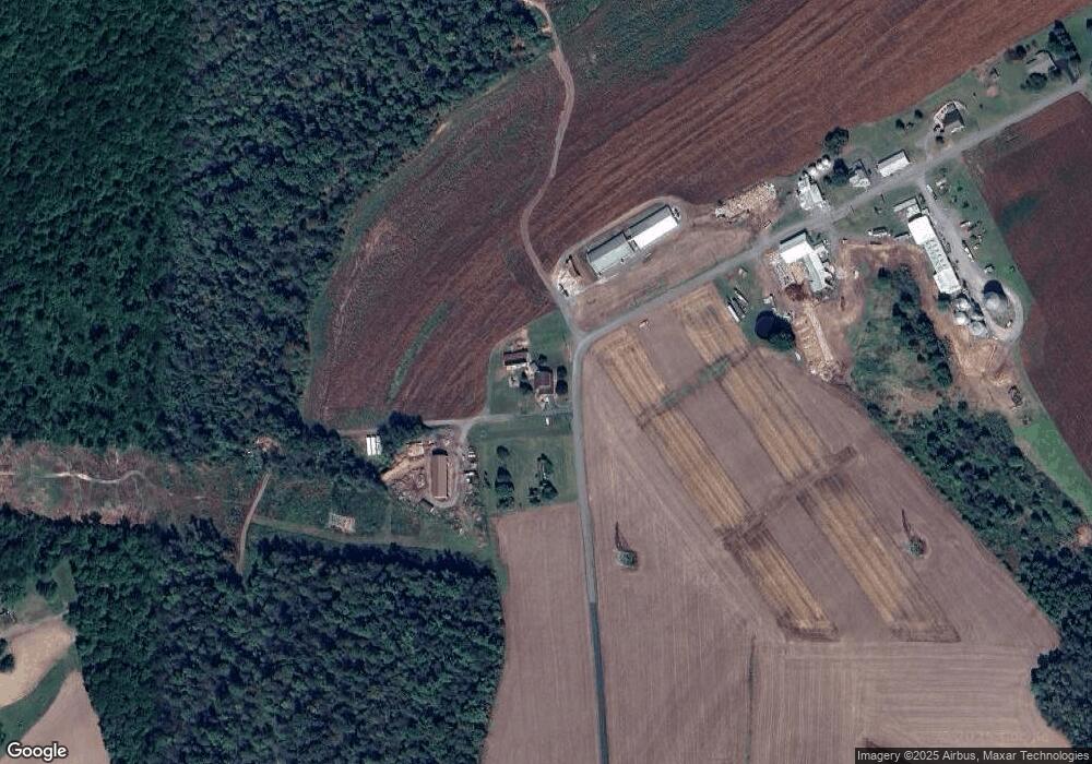
Map
Nearby Homes
- 0 Airport Rd Unit PASK2024112
- 0 W Side of Stein Rd
- 6852 Upper Rd
- 572 Airport Rd
- 0 Weishample Rd Unit 20-101360
- 604 Airport Rd
- 60 South St
- 15 Snyder Rd
- 416 Dutchtown Rd
- 505 Mcknight St
- 323 N Hobart St
- 310 Hobart St
- 331 S Maple St
- 329 S Maple St
- 334 W Butternut St
- 401 E 7th St
- 141 W 5th St
- 125 W 5th St
- 124 S Maple St
- 226 S Lemon St Unit 228
- 147 Hinkle Rd
- 107 Hinkle Rd
- 167 Hinkle Rd
- 1223 Deep Creek Rd
- 230 Hinkle Rd
- 230 Hinkle Rd
- 177 Hinkle Rd
- 180 Hinkle Rd
- 33 Harner Ln
- 225 Maplewood Rd
- 221 Maplewood Rd
- 300 Maplewood Rd
- 824 Deep Creek Rd
- 210 Maplewood Rd
- 204 Maplewood Rd
- 1136 Deep Creek Rd
- 1275 Deep Creek Rd
- 1123 Deep Creek Rd
- 1268 Deep Creek Rd
- 211 Maplewood Rd