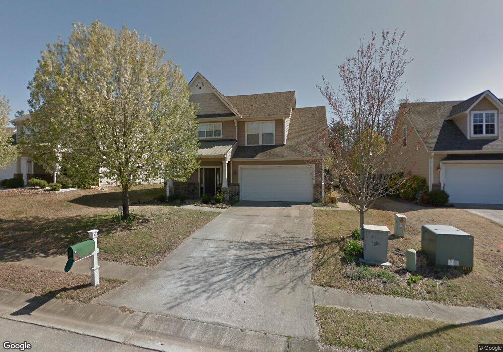
111 King Richards Way Calera, AL 35040
Estimated Value: $303,000 - $317,000
--
Bed
2
Baths
2,234
Sq Ft
$140/Sq Ft
Est. Value
About This Home
This home is located at 111 King Richards Way, Calera, AL 35040 and is currently estimated at $312,933, approximately $140 per square foot. 111 King Richards Way is a home located in Shelby County with nearby schools including Calera Intermediate School, Calera Elementary School, and Calera Middle School.
Ownership History
Date
Name
Owned For
Owner Type
Purchase Details
Closed on
Jan 12, 2012
Sold by
Lawson Timothy
Bought by
Lawson Cynthia Reese
Current Estimated Value
Purchase Details
Closed on
Jan 26, 2010
Sold by
Reese Lawson Cynthia and Lawson Timothy
Bought by
Reese Lawson Cynthia and Lawson Timothy
Home Financials for this Owner
Home Financials are based on the most recent Mortgage that was taken out on this home.
Original Mortgage
$136,000
Interest Rate
4.93%
Mortgage Type
New Conventional
Purchase Details
Closed on
Apr 15, 2003
Sold by
Brantley Homes Inc
Bought by
Lawson Timothy and Reese Cynthia
Home Financials for this Owner
Home Financials are based on the most recent Mortgage that was taken out on this home.
Original Mortgage
$158,900
Interest Rate
5.62%
Create a Home Valuation Report for This Property
The Home Valuation Report is an in-depth analysis detailing your home's value as well as a comparison with similar homes in the area
Home Values in the Area
Average Home Value in this Area
Purchase History
| Date | Buyer | Sale Price | Title Company |
|---|---|---|---|
| Lawson Cynthia Reese | $158,900 | None Available | |
| Reese Lawson Cynthia | -- | None Available | |
| Lawson Timothy | $158,900 | -- |
Source: Public Records
Mortgage History
| Date | Status | Borrower | Loan Amount |
|---|---|---|---|
| Closed | Reese Lawson Cynthia | $136,000 | |
| Closed | Lawson Timothy | $158,900 |
Source: Public Records
Tax History Compared to Growth
Tax History
| Year | Tax Paid | Tax Assessment Tax Assessment Total Assessment is a certain percentage of the fair market value that is determined by local assessors to be the total taxable value of land and additions on the property. | Land | Improvement |
|---|---|---|---|---|
| 2024 | $1,669 | $30,900 | $0 | $0 |
| 2023 | $1,570 | $29,840 | $0 | $0 |
| 2022 | $1,209 | $23,140 | $0 | $0 |
| 2021 | $1,119 | $21,480 | $0 | $0 |
| 2020 | $1,066 | $20,500 | $0 | $0 |
| 2019 | $1,017 | $19,600 | $0 | $0 |
| 2017 | $946 | $18,280 | $0 | $0 |
| 2015 | $1,028 | $19,800 | $0 | $0 |
| 2014 | $926 | $17,900 | $0 | $0 |
Source: Public Records
Map
Nearby Homes
- 218 Nottingham Dr
- 923 Daventry Trail
- 143 King Richards Way
- 1005 Daventry Ln
- 302 Nottingham Dr
- 2051 Rossburg Place
- 5714 Smokey Rd
- 112 Stonecreek Place
- 562 the Heights Ln
- 316 Union Station Way
- 205 the Heights Dr
- 623 the Heights Ln
- 656 the Heights Ln
- 157 Union Station Dr
- 167 Southern Hills Dr
- 511 Union Station Place
- 173 Union Station Dr
- 212 Creekstone Trail
- 568 Southern Hills Dr
- The Penwell Plan at Koslin Farms
- 113 King Richards Way
- 105 King Richards Way
- 119 King Richards Way
- 197 Nottingham Dr
- 120 King Richards Way
- 123 King Richards Way
- 110 King Richards Way
- 108 King Richards Way
- 127 King Richards Way
- 935 Daventry Trail
- 201 Nottingham Dr
- 205 Nottingham Dr
- 931 Daventry Trail
- 124 King Richards Way
- 404 Sherwood Cir
- 403 Sherwood Cir
- 131 King Richards Way
- 1010 Daventry Way
- 1014 Daventry Way
- 200 Nottingham Dr