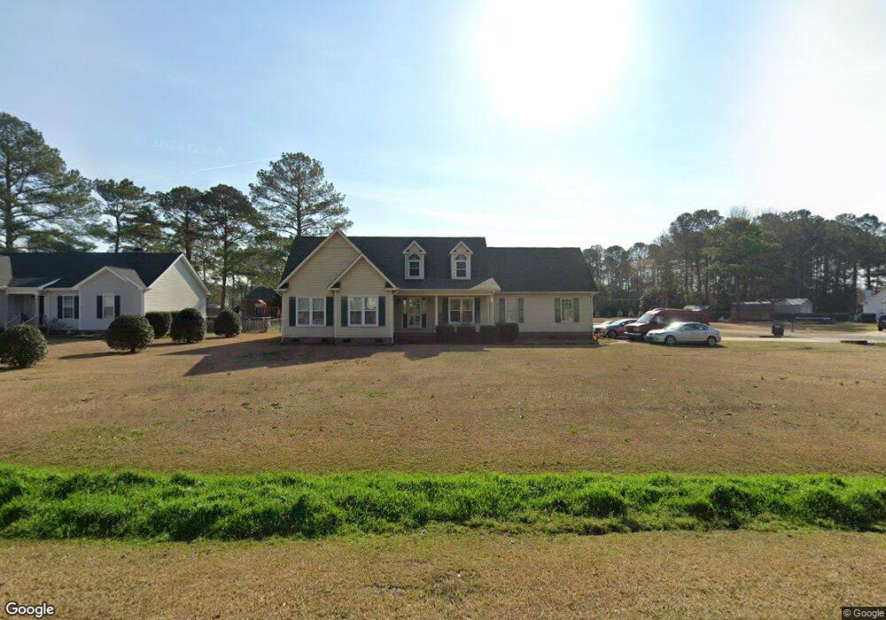
111 Lane Tree Dr Goldsboro, NC 27530
Estimated Value: $271,023 - $312,000
3
Beds
2
Baths
1,867
Sq Ft
$156/Sq Ft
Est. Value
About This Home
This home is located at 111 Lane Tree Dr, Goldsboro, NC 27530 and is currently estimated at $290,506, approximately $155 per square foot. 111 Lane Tree Dr is a home located in Wayne County with nearby schools including Northwest Elementary School, Norwayne Middle School, and Charles B. Aycock High School.
Ownership History
Date
Name
Owned For
Owner Type
Purchase Details
Closed on
Sep 25, 2007
Sold by
Molina Fernando and Molina Paige Devona
Bought by
Faison James Edward and Faison Theresa Crawford
Current Estimated Value
Home Financials for this Owner
Home Financials are based on the most recent Mortgage that was taken out on this home.
Original Mortgage
$173,630
Outstanding Balance
$109,981
Interest Rate
6.49%
Mortgage Type
VA
Estimated Equity
$180,526
Purchase Details
Closed on
Dec 1, 1998
Purchase Details
Closed on
Jul 1, 1996
Purchase Details
Closed on
Jun 1, 1995
Create a Home Valuation Report for This Property
The Home Valuation Report is an in-depth analysis detailing your home's value as well as a comparison with similar homes in the area
Home Values in the Area
Average Home Value in this Area
Purchase History
| Date | Buyer | Sale Price | Title Company |
|---|---|---|---|
| Faison James Edward | $179,000 | None Available | |
| -- | $142,500 | -- | |
| -- | $136,000 | -- | |
| -- | $72,000 | -- |
Source: Public Records
Mortgage History
| Date | Status | Borrower | Loan Amount |
|---|---|---|---|
| Open | Faison James Edward | $173,630 |
Source: Public Records
Tax History Compared to Growth
Tax History
| Year | Tax Paid | Tax Assessment Tax Assessment Total Assessment is a certain percentage of the fair market value that is determined by local assessors to be the total taxable value of land and additions on the property. | Land | Improvement |
|---|---|---|---|---|
| 2025 | $1,978 | $277,020 | $35,000 | $242,020 |
| 2024 | $1,516 | $178,310 | $28,000 | $150,310 |
| 2023 | $1,471 | $178,310 | $28,000 | $150,310 |
| 2022 | $1,471 | $178,310 | $28,000 | $150,310 |
| 2021 | $1,409 | $178,310 | $28,000 | $150,310 |
| 2020 | $1,330 | $178,310 | $28,000 | $150,310 |
| 2018 | $1,371 | $183,990 | $23,000 | $160,990 |
| 2017 | $1,371 | $183,990 | $23,000 | $160,990 |
| 2016 | $1,371 | $183,990 | $23,000 | $160,990 |
| 2015 | $1,374 | $183,990 | $23,000 | $160,990 |
| 2014 | $1,377 | $183,990 | $23,000 | $160,990 |
Source: Public Records
Map
Nearby Homes
- 203 Lane Tree Dr
- 220 Creek Ridge Dr
- 101 Mcwood Place
- 479 Perkins Rd
- 408 Perkins Rd
- 102 Olde Mill Creek Dr
- 404 Lane Tree Dr
- 608 Adler Ln
- 109 Ashworth Dr
- 100 W Berkshire Ct
- 461 Perkins
- 176 Perkins Rd
- 302 Morgan Trace Ln
- 626 Adler Ln
- 205 Carlyle Cir
- 585 Buck Swamp Rd
- 600 Morgan Trace Ln
- 276 Buck Swamp Rd
- 216 Koufax Dr
- 106 Yelverton Place
- 109 Lane Tree Dr
- 201 Lane Tree Dr
- 103 Fairfield Dr
- 107 Lane Tree Dr
- 110 Lane Tree Dr
- 112 Lane Tree Dr
- 102 Fairfield Dr
- 108 Lane Tree Dr
- 105 Lane Tree Dr
- 105 Fairfield Dr
- 106 Lane Tree Dr
- 200 Lane Tree Dr
- 106 Lane Tree Dr
- 205 Lane Tree Dr
- 103 Lane Tree Dr
- 202 Lane Tree Dr
- 107 Fairfield Dr
- 104 Lane Tree Dr
- 200 N Pointe Dr
- 106 Fairfield Dr