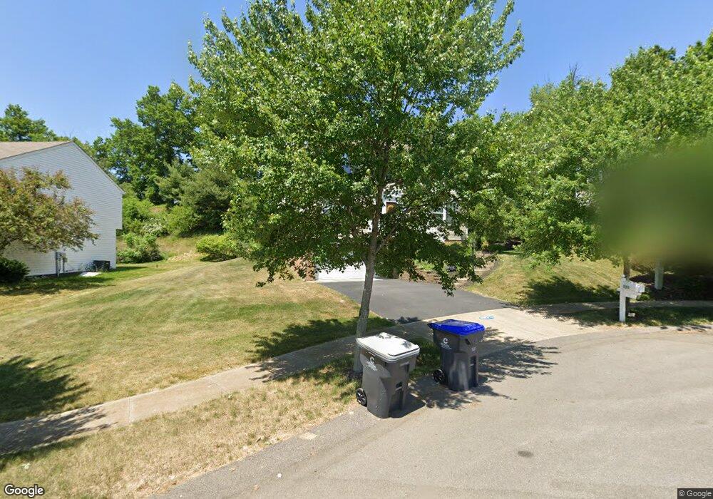
111 Lawnview Ct Cranberry Township, PA 16066
Estimated Value: $464,001 - $527,000
3
Beds
2
Baths
2,044
Sq Ft
$239/Sq Ft
Est. Value
About This Home
This home is located at 111 Lawnview Ct, Cranberry Township, PA 16066 and is currently estimated at $487,500, approximately $238 per square foot. 111 Lawnview Ct is a home located in Butler County with nearby schools including Haine Middle School, Rowan Elementary School, and Ryan Gloyer Middle School.
Ownership History
Date
Name
Owned For
Owner Type
Purchase Details
Closed on
Mar 5, 2008
Sold by
Nvr Inc
Bought by
Mollica Trs Ross C and Mollica Family Family Liv Tr,
Current Estimated Value
Home Financials for this Owner
Home Financials are based on the most recent Mortgage that was taken out on this home.
Original Mortgage
$202,350
Outstanding Balance
$126,129
Interest Rate
5.75%
Mortgage Type
New Conventional
Estimated Equity
$361,371
Create a Home Valuation Report for This Property
The Home Valuation Report is an in-depth analysis detailing your home's value as well as a comparison with similar homes in the area
Home Values in the Area
Average Home Value in this Area
Purchase History
| Date | Buyer | Sale Price | Title Company |
|---|---|---|---|
| Mollica Trs Ross C | $252,995 | -- |
Source: Public Records
Mortgage History
| Date | Status | Borrower | Loan Amount |
|---|---|---|---|
| Open | Mollica Trs Ross C | $202,350 |
Source: Public Records
Tax History Compared to Growth
Tax History
| Year | Tax Paid | Tax Assessment Tax Assessment Total Assessment is a certain percentage of the fair market value that is determined by local assessors to be the total taxable value of land and additions on the property. | Land | Improvement |
|---|---|---|---|---|
| 2025 | $3,917 | $21,860 | $2,670 | $19,190 |
| 2024 | $3,801 | $21,860 | $2,670 | $19,190 |
| 2023 | $3,745 | $21,860 | $2,670 | $19,190 |
| 2022 | $3,745 | $21,860 | $2,670 | $19,190 |
| 2021 | $3,689 | $21,860 | $0 | $0 |
| 2020 | $3,689 | $21,860 | $2,670 | $19,190 |
| 2019 | $3,648 | $21,860 | $2,670 | $19,190 |
| 2018 | $3,648 | $21,860 | $2,670 | $19,190 |
| 2017 | $3,582 | $21,860 | $2,670 | $19,190 |
| 2016 | $983 | $21,860 | $2,670 | $19,190 |
| 2015 | $443 | $21,860 | $2,670 | $19,190 |
| 2014 | $443 | $21,860 | $2,670 | $19,190 |
Source: Public Records
Map
Nearby Homes
- 205 Broadview Ct
- 793 Sunset Cir
- 811 Sunset Cir
- 319 Palisade Way
- 507 Freeman St
- Montclair Plan at Brookvue - Single Family
- Ellsworth Plan at Brookvue - Single Family
- Morrison Plan at Brookvue - Single Family
- Arundel Plan at Brookvue - Single Family
- Andover Plan at Brookvue - Single Family
- Elgin Plan at Brookvue - Single Family
- Dundee Plan at Brookvue - Single Family
- Bromley Plan at Brookvue - Single Family
- Helston Plan at Brookvue - Single Family
- 3500 Unionville Rd Unit Bromley
- 3500 Unionville Rd Unit Morrison
- 3500 Unionville Rd Unit Montclair
- 3500 Unionville Rd Unit Dundee
- 3500 Unionville Rd Unit Andover
- 3500 Unionville Rd Unit Arundel