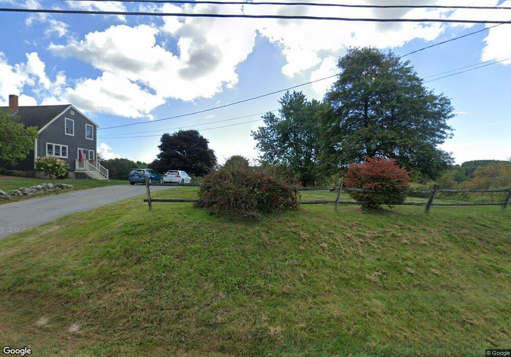
111 Ledge Rd Yarmouth, ME 04096
Estimated Value: $1,390,000 - $1,762,000
4
Beds
5
Baths
3,832
Sq Ft
$429/Sq Ft
Est. Value
About This Home
This home is located at 111 Ledge Rd, Yarmouth, ME 04096 and is currently estimated at $1,645,415, approximately $429 per square foot. 111 Ledge Rd is a home located in Cumberland County with nearby schools including Yarmouth Elementary School, William H. Rowe School, and Frank H. Harrison Middle School.
Ownership History
Date
Name
Owned For
Owner Type
Purchase Details
Closed on
Jul 22, 2019
Sold by
Ruetty Michael T and Ruetty Rebecca D
Bought by
Adams Kurt
Current Estimated Value
Home Financials for this Owner
Home Financials are based on the most recent Mortgage that was taken out on this home.
Original Mortgage
$750,000
Outstanding Balance
$657,067
Interest Rate
3.82%
Mortgage Type
Purchase Money Mortgage
Estimated Equity
$988,348
Create a Home Valuation Report for This Property
The Home Valuation Report is an in-depth analysis detailing your home's value as well as a comparison with similar homes in the area
Home Values in the Area
Average Home Value in this Area
Purchase History
| Date | Buyer | Sale Price | Title Company |
|---|---|---|---|
| Adams Kurt | -- | -- |
Source: Public Records
Mortgage History
| Date | Status | Borrower | Loan Amount |
|---|---|---|---|
| Open | Adams Kurt | $750,000 |
Source: Public Records
Tax History Compared to Growth
Tax History
| Year | Tax Paid | Tax Assessment Tax Assessment Total Assessment is a certain percentage of the fair market value that is determined by local assessors to be the total taxable value of land and additions on the property. | Land | Improvement |
|---|---|---|---|---|
| 2024 | $23,686 | $922,700 | $212,200 | $710,500 |
| 2023 | $21,720 | $922,700 | $212,200 | $710,500 |
| 2022 | $19,949 | $922,700 | $212,200 | $710,500 |
| 2021 | $18,269 | $922,700 | $212,200 | $710,500 |
| 2020 | $13,769 | $702,500 | $212,200 | $490,300 |
| 2019 | $12,457 | $660,500 | $212,200 | $448,300 |
| 2018 | $11,757 | $660,500 | $212,200 | $448,300 |
| 2017 | $11,334 | $660,500 | $212,200 | $448,300 |
| 2016 | $11,268 | $660,500 | $212,200 | $448,300 |
| 2015 | $14,048 | $651,600 | $260,900 | $390,700 |
| 2014 | $14,075 | $651,600 | $260,900 | $390,700 |
| 2013 | $14,335 | $651,600 | $0 | $0 |
Source: Public Records
Map
Nearby Homes
- 247 Ledge Rd
- 203 Bluff Rd Unit 13
- 44 Ellen Cir
- 15 Sequoia Dr
- 393 E Main St
- 31 Sequoia Dr
- 25 Meadowbrook Ln
- 90 W Main St
- 0 Bayview St
- 309 Main St Unit A
- 149 E Main St Unit 7
- 1 Railroad Square Unit Townhome C
- 1 Railroad Square Unit 103
- 1 Railroad Square Unit 205
- 1 Railroad Square Unit 305
- 1 Railroad Square Unit 403
- 1 Railroad Square Unit 101
- 37 South St
- 9 Newell Rd
- 70 Main St