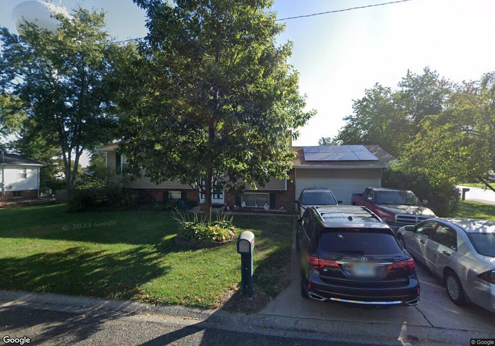
111 Lexington Dr Collinsville, IL 62234
Estimated Value: $194,158 - $232,000
3
Beds
2
Baths
1,113
Sq Ft
$195/Sq Ft
Est. Value
About This Home
This home is located at 111 Lexington Dr, Collinsville, IL 62234 and is currently estimated at $216,540, approximately $194 per square foot. 111 Lexington Dr is a home located in Madison County with nearby schools including John A Renfro Elementary School, Dorris Intermediate School, and Collinsville Middle School.
Ownership History
Date
Name
Owned For
Owner Type
Purchase Details
Closed on
Aug 12, 2005
Sold by
Jenkins Hassler Dorothy M and Jenkins Dorothy M
Bought by
Waugh Christopher M and Waugh Elizabeth A
Current Estimated Value
Home Financials for this Owner
Home Financials are based on the most recent Mortgage that was taken out on this home.
Original Mortgage
$120,000
Outstanding Balance
$63,159
Interest Rate
5.69%
Mortgage Type
Fannie Mae Freddie Mac
Estimated Equity
$153,381
Create a Home Valuation Report for This Property
The Home Valuation Report is an in-depth analysis detailing your home's value as well as a comparison with similar homes in the area
Home Values in the Area
Average Home Value in this Area
Purchase History
| Date | Buyer | Sale Price | Title Company |
|---|---|---|---|
| Waugh Christopher M | $140,000 | Abstracts & Titles Inc |
Source: Public Records
Mortgage History
| Date | Status | Borrower | Loan Amount |
|---|---|---|---|
| Open | Waugh Christopher M | $120,000 |
Source: Public Records
Tax History Compared to Growth
Tax History
| Year | Tax Paid | Tax Assessment Tax Assessment Total Assessment is a certain percentage of the fair market value that is determined by local assessors to be the total taxable value of land and additions on the property. | Land | Improvement |
|---|---|---|---|---|
| 2024 | $4,143 | $70,800 | $14,650 | $56,150 |
| 2023 | $4,143 | $64,450 | $13,330 | $51,120 |
| 2022 | $3,847 | $59,600 | $12,330 | $47,270 |
| 2021 | $3,453 | $55,990 | $11,580 | $44,410 |
| 2020 | $3,310 | $53,420 | $11,050 | $42,370 |
| 2019 | $3,056 | $49,430 | $10,310 | $39,120 |
| 2018 | $2,974 | $46,830 | $9,770 | $37,060 |
| 2017 | $2,969 | $45,900 | $9,580 | $36,320 |
| 2016 | $3,118 | $45,900 | $9,580 | $36,320 |
| 2015 | $3,112 | $44,710 | $9,330 | $35,380 |
| 2014 | $3,112 | $44,710 | $9,330 | $35,380 |
| 2013 | $3,112 | $44,710 | $9,330 | $35,380 |
Source: Public Records
Map
Nearby Homes
- 414 Bunker Hill Dr
- 0 N Keebler Ave
- 1224 Cedar Ridge Ct
- 22 Brookwood Dr
- 203 Greenfield Dr
- 10 White Lily Dr
- 5 Brookwood Dr
- 1120 Williams St
- 308 Brown Ave
- 1210 Constance St
- 617 N Morrison Ave
- 0 Strong Ave
- 123 Elliot St
- 123 W Wickliffe Ave
- 706 Illinois Ave
- 501 Spring
- 2007 Belt Line Rd
- 1121 Carraway Ct
- 102 Toni Ct
- 1227 Ridge Ave
- 109 Lexington Dr
- 207 Chapel Dr
- 110 Lexington Dr
- 104 Lexington Dr
- 107 Lexington Dr
- 205 Chapel Dr
- 210 Chapel Dr
- 213 Chapel Dr
- 208 Chapel Dr
- 102 Lexington Dr
- 105 Lexington Dr
- 212 Chapel Dr
- 203 Chapel Dr
- 2 Lexington Ct
- 6 Lexington Ct
- 303 Chapel Dr
- xx Chapel Dr
- 214 Chapel Dr
- 1603 Saratoga Dr
- 204 Chapel Dr