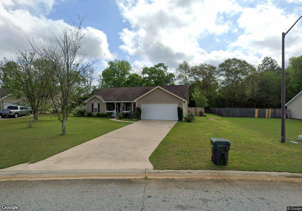
111 Lonesome Doe Cir Kathleen, GA 31047
Estimated Value: $226,000 - $241,000
3
Beds
2
Baths
1,502
Sq Ft
$156/Sq Ft
Est. Value
About This Home
This home is located at 111 Lonesome Doe Cir, Kathleen, GA 31047 and is currently estimated at $234,075, approximately $155 per square foot. 111 Lonesome Doe Cir is a home located in Houston County with nearby schools including Matthew Arthur Elementary School, Perry Middle School, and Veterans High School.
Ownership History
Date
Name
Owned For
Owner Type
Purchase Details
Closed on
Mar 29, 2006
Sold by
Smithfield Chase Developers Inc
Bought by
Anderson Alfred M and Anderson Lori A
Current Estimated Value
Home Financials for this Owner
Home Financials are based on the most recent Mortgage that was taken out on this home.
Original Mortgage
$109,775
Outstanding Balance
$62,683
Interest Rate
6.25%
Mortgage Type
VA
Estimated Equity
$171,392
Create a Home Valuation Report for This Property
The Home Valuation Report is an in-depth analysis detailing your home's value as well as a comparison with similar homes in the area
Home Values in the Area
Average Home Value in this Area
Purchase History
| Date | Buyer | Sale Price | Title Company |
|---|---|---|---|
| Anderson Alfred M | $127,500 | None Available |
Source: Public Records
Mortgage History
| Date | Status | Borrower | Loan Amount |
|---|---|---|---|
| Open | Anderson Alfred M | $109,775 |
Source: Public Records
Tax History Compared to Growth
Tax History
| Year | Tax Paid | Tax Assessment Tax Assessment Total Assessment is a certain percentage of the fair market value that is determined by local assessors to be the total taxable value of land and additions on the property. | Land | Improvement |
|---|---|---|---|---|
| 2024 | $1,613 | $69,440 | $12,000 | $57,440 |
| 2023 | $1,323 | $56,720 | $12,000 | $44,720 |
| 2022 | $1,264 | $54,280 | $12,000 | $42,280 |
| 2021 | $1,141 | $48,960 | $12,000 | $36,960 |
| 2020 | $1,141 | $48,760 | $12,000 | $36,760 |
| 2019 | $1,141 | $48,760 | $12,000 | $36,760 |
| 2018 | $1,141 | $48,760 | $12,000 | $36,760 |
| 2017 | $1,142 | $48,760 | $12,000 | $36,760 |
| 2016 | $1,144 | $48,760 | $12,000 | $36,760 |
| 2015 | $1,147 | $48,760 | $12,000 | $36,760 |
| 2014 | -- | $48,760 | $12,000 | $36,760 |
| 2013 | -- | $48,760 | $12,000 | $36,760 |
Source: Public Records
Map
Nearby Homes
- 106 Planter's Ridge Trail
- 238 Old Hollow Way
- 531 Bristleleaf Path
- 529 Bristleleaf Path
- 533 Bristleleaf Path
- 202 Emberwood Way
- 521 Bristleleaf Path
- 525 Bristleleaf Path
- 523 Bristleleaf Path
- 101 Black Birch Ln
- 109 Black Birch Ln
- 315 Willowbrook Ln
- 102 Black Birch Ln
- 105 Black Birch Ln
- 205 Emberwood Way
- 107 Black Birch Ln
- 321 Willowbrook Ln
- 313 Willowbrook Ln
- 612 Willowbrook Ln
- 607 Willowbrook Ln
- 109 Lonesome Doe Cir
- 104 Lonesome Doe Cir
- 107 Lonesome Doe Cir
- 2840 Ga Highway 127
- 115 Lonesome Doe Cir
- 106 Lonesome Doe Cir
- 105 Lonesome Doe Cir
- 102 Lonesome Doe Cir
- 2842 Ga Highway 127
- 108 Lonesome Doe Cir
- 103 Lonesome Doe Cir
- 202 Fallow Trail
- 2845 Ga Highway 127
- 100 Lonesome Doe Cir
- 104 Farr Rd Unit 144 - Everest III
- 101 Lonesome Doe Cir
- 204 Fallow Trail
- 2844 Ga Highway 127
- 2847A Ga Highway 127
- 2844 129 Hwy