111 Lumpkin Way Unit 4 Canton, GA 30114
Estimated Value: $647,124 - $749,000
4
Beds
4
Baths
3,250
Sq Ft
$215/Sq Ft
Est. Value
About This Home
This home is located at 111 Lumpkin Way Unit 4, Canton, GA 30114 and is currently estimated at $698,062, approximately $214 per square foot. 111 Lumpkin Way Unit 4 is a home located in Cherokee County with nearby schools including Avery Elementary School, Creekland Middle School, and Creekview High School.
Ownership History
Date
Name
Owned For
Owner Type
Purchase Details
Closed on
Jun 4, 2013
Sold by
Schwab Michael C
Bought by
Colfin Ai Ga 1 Llc
Current Estimated Value
Purchase Details
Closed on
Jul 14, 2006
Sold by
Jbl Const Llc
Bought by
Schwab Michael C and Schwab Rosetta L
Home Financials for this Owner
Home Financials are based on the most recent Mortgage that was taken out on this home.
Original Mortgage
$200,000
Interest Rate
6.54%
Purchase Details
Closed on
Jan 23, 2006
Sold by
Governors Farm Llc
Bought by
Jbl Const Llc
Home Financials for this Owner
Home Financials are based on the most recent Mortgage that was taken out on this home.
Original Mortgage
$270,400
Interest Rate
6.21%
Create a Home Valuation Report for This Property
The Home Valuation Report is an in-depth analysis detailing your home's value as well as a comparison with similar homes in the area
Home Values in the Area
Average Home Value in this Area
Purchase History
| Date | Buyer | Sale Price | Title Company |
|---|---|---|---|
| Colfin Ai Ga 1 Llc | $240,000 | -- | |
| Schwab Michael C | $360,600 | -- | |
| Jbl Const Llc | $50,000 | -- |
Source: Public Records
Mortgage History
| Date | Status | Borrower | Loan Amount |
|---|---|---|---|
| Previous Owner | Schwab Michael C | $200,000 | |
| Previous Owner | Jbl Const Llc | $270,400 |
Source: Public Records
Tax History Compared to Growth
Tax History
| Year | Tax Paid | Tax Assessment Tax Assessment Total Assessment is a certain percentage of the fair market value that is determined by local assessors to be the total taxable value of land and additions on the property. | Land | Improvement |
|---|---|---|---|---|
| 2024 | $5,392 | $207,480 | $43,001 | $164,479 |
| 2023 | $5,392 | $207,480 | $43,001 | $164,479 |
| 2022 | $5,453 | $207,480 | $43,001 | $164,479 |
| 2021 | $4,315 | $152,000 | $31,503 | $120,497 |
| 2020 | $4,319 | $152,000 | $31,503 | $120,497 |
| 2019 | $4,387 | $154,400 | $32,000 | $122,400 |
| 2018 | $4,274 | $149,520 | $33,600 | $115,920 |
| 2017 | $4,077 | $364,600 | $30,000 | $115,840 |
| 2016 | $4,077 | $350,100 | $28,000 | $112,040 |
| 2015 | $4,090 | $347,800 | $28,000 | $111,120 |
| 2014 | $2,828 | $240,000 | $22,000 | $74,000 |
Source: Public Records
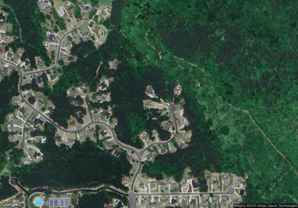
Map
Nearby Homes
- 302 Gilmer Ct
- 729 Conley Dr
- 714 Conley Dr
- 716 Conley Dr
- 0 Harmony Dr Unit 7532369
- 0 Harmony Dr Unit 10468292
- 212 Schley Trail
- 122 Griffin Way
- 131 Griffin Way
- Leland Plan at Governor’s Preserve - Masterpiece Collection
- Margot Plan at Governor’s Preserve - Masterpiece Collection
- Paxton Plan at Governor’s Preserve - Masterpiece Collection
- Winslow Plan at Governor’s Preserve - Masterpiece Collection
- Pearson Plan at Governor’s Preserve - Masterpiece Collection
- Grayson Plan at Governor’s Preserve - Masterpiece Collection
- Rhodes Plan at Governor’s Preserve - Masterpiece Collection
- 608 Walker Ct
- 2118 Harmony Dr
- 2121 Harmony Dr
- 510 Perdue Trail
- 113 Lumpkin Way
- 109 Lumpkin Way Unit 4
- 107 Lumpkin Way
- 105 Lumpkin Way Unit 4
- 114 Lumpkin Way
- 103 Lumpkin Way
- 112 Lumpkin Way
- 2054 Harmony Dr Unit 4
- 110 Lumpkin Way
- 0 Lumpkin Way
- 2056 Harmony Dr
- 108 Lumpkin Way
- 102 Lumpkin Way
- 202 Gordon Cir
- 204 Gordon Cir
- 106 Lumpkin Way
- 106 Lumpkin Way Unit 245
- 104 Lumpkin Way
- 2050 Harmony Dr
- 200 Gordon Cir