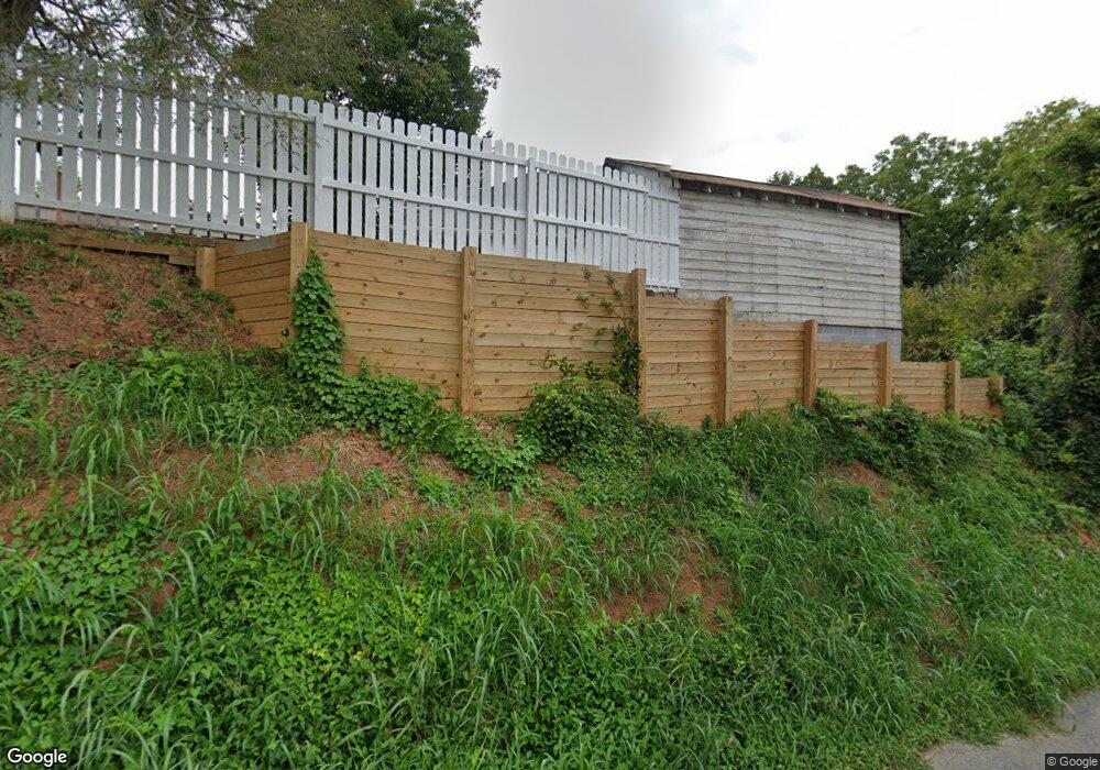
111 Lyman Ct Morganton, NC 28655
Estimated Value: $185,297 - $275,000
3
Beds
1
Bath
1,587
Sq Ft
$145/Sq Ft
Est. Value
About This Home
This home is located at 111 Lyman Ct, Morganton, NC 28655 and is currently estimated at $230,824, approximately $145 per square foot. 111 Lyman Ct is a home located in Burke County with nearby schools including Forest Hill Elementary School, Walter R. Johnson Middle School, and Robert L. Patton High School.
Ownership History
Date
Name
Owned For
Owner Type
Purchase Details
Closed on
Jan 16, 2014
Sold by
Cox Aretta Antonia Lowman
Bought by
Cox Donald Keith and Cox Angie Michelle
Current Estimated Value
Home Financials for this Owner
Home Financials are based on the most recent Mortgage that was taken out on this home.
Original Mortgage
$82,000
Outstanding Balance
$42,696
Interest Rate
4.25%
Mortgage Type
New Conventional
Estimated Equity
$188,128
Create a Home Valuation Report for This Property
The Home Valuation Report is an in-depth analysis detailing your home's value as well as a comparison with similar homes in the area
Home Values in the Area
Average Home Value in this Area
Purchase History
| Date | Buyer | Sale Price | Title Company |
|---|---|---|---|
| Cox Donald Keith | $82,000 | None Available |
Source: Public Records
Mortgage History
| Date | Status | Borrower | Loan Amount |
|---|---|---|---|
| Open | Cox Donald Keith | $82,000 |
Source: Public Records
Tax History
| Year | Tax Paid | Tax Assessment Tax Assessment Total Assessment is a certain percentage of the fair market value that is determined by local assessors to be the total taxable value of land and additions on the property. | Land | Improvement |
|---|---|---|---|---|
| 2025 | $1,037 | $96,909 | $29,837 | $67,072 |
| 2024 | $1,038 | $96,909 | $29,837 | $67,072 |
| 2023 | $1,130 | $96,909 | $29,837 | $67,072 |
| 2022 | $675 | $85,342 | $26,404 | $58,938 |
| 2021 | $669 | $85,342 | $26,404 | $58,938 |
| 2020 | $665 | $85,342 | $26,404 | $58,938 |
| 2019 | $665 | $85,342 | $26,404 | $58,938 |
| 2018 | $576 | $72,467 | $26,404 | $46,063 |
| 2017 | $574 | $72,467 | $26,404 | $46,063 |
| 2016 | $558 | $72,467 | $26,404 | $46,063 |
| 2015 | $555 | $72,467 | $26,404 | $46,063 |
| 2014 | $569 | $74,739 | $31,000 | $43,739 |
| 2013 | $569 | $74,739 | $31,000 | $43,739 |
Source: Public Records
Map
Nearby Homes
- 118 W Union St Unit Suite A
- 118 W Union St Unit A
- 103 Ramsey St
- 214 Howard St
- 212 Riverside Dr
- 218 Davis Dr
- 302 White St
- 406B E Union St
- 626 W Concord St
- 406 E Union St Unit B
- 430 N Green St
- 302 Ramsey St
- VL E Concord St
- 710 Bouchelle St
- 231 Davis Dr
- 410 Burkemont Ave Unit A-D
- 214 Eastview St
- 106 Lane St Unit 6
- 104 1/2 Woodbine Terrace
- 113 Falls St
- 309 W Union St
- 101-103 Lyman Ct
- 308 W Union St
- 306 W Union St
- 104 Lyman Ct
- 315 W Union St
- 310 W Union St
- 310 W Union St Unit 1
- 317 W Union St
- 106 Lyman Ct
- 312 W Union St
- 105 Lyman Ct
- 319 W Union St
- 100 Terrace Place
- 108 Lyman Ct
- 204 1/2 S College St
- 204 S College St
- 314 W Union St
- 300 W Union St
- 301 W Meeting St
Your Personal Tour Guide
Ask me questions while you tour the home.