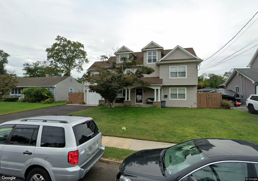
111 Meadowbrook Rd Spring Lake, NJ 07762
Estimated Value: $1,215,000 - $1,981,816
6
Beds
1
Bath
3,818
Sq Ft
$460/Sq Ft
Est. Value
About This Home
This home is located at 111 Meadowbrook Rd, Spring Lake, NJ 07762 and is currently estimated at $1,755,204, approximately $459 per square foot. 111 Meadowbrook Rd is a home located in Monmouth County with nearby schools including Spring Lake Heights Elementary School, The Brookside School, and St. Catharine School.
Ownership History
Date
Name
Owned For
Owner Type
Purchase Details
Closed on
Sep 25, 2000
Sold by
Vollmer Robert
Bought by
Ventura Paul and Ventura Patrice
Current Estimated Value
Home Financials for this Owner
Home Financials are based on the most recent Mortgage that was taken out on this home.
Original Mortgage
$191,900
Outstanding Balance
$69,147
Interest Rate
7.94%
Estimated Equity
$1,686,057
Create a Home Valuation Report for This Property
The Home Valuation Report is an in-depth analysis detailing your home's value as well as a comparison with similar homes in the area
Home Values in the Area
Average Home Value in this Area
Purchase History
| Date | Buyer | Sale Price | Title Company |
|---|---|---|---|
| Ventura Paul | $241,000 | -- |
Source: Public Records
Mortgage History
| Date | Status | Borrower | Loan Amount |
|---|---|---|---|
| Open | Ventura Paul | $191,900 |
Source: Public Records
Tax History Compared to Growth
Tax History
| Year | Tax Paid | Tax Assessment Tax Assessment Total Assessment is a certain percentage of the fair market value that is determined by local assessors to be the total taxable value of land and additions on the property. | Land | Improvement |
|---|---|---|---|---|
| 2025 | $12,489 | $1,259,400 | $602,400 | $657,000 |
| 2024 | $12,220 | $1,186,000 | $541,100 | $644,900 |
| 2023 | $12,220 | $1,091,100 | $461,300 | $629,800 |
| 2022 | $11,506 | $950,600 | $315,000 | $635,600 |
| 2021 | $11,506 | $852,300 | $274,500 | $577,800 |
| 2020 | $10,849 | $798,900 | $274,500 | $524,400 |
| 2019 | $10,743 | $783,000 | $274,500 | $508,500 |
| 2018 | $10,499 | $744,600 | $274,500 | $470,100 |
| 2017 | $10,045 | $738,600 | $274,500 | $464,100 |
| 2016 | $9,160 | $665,200 | $274,500 | $390,700 |
| 2015 | $8,811 | $641,700 | $261,000 | $380,700 |
| 2014 | $9,067 | $675,100 | $297,000 | $378,100 |
Source: Public Records
Map
Nearby Homes
- 817 Ocean Rd
- 805 Jersey Ave
- 601 Central Ave
- 708 New York Blvd
- 530 Highway 71 Unit 4
- 510 Beacon Blvd
- 1301 Warren Ave Unit 5
- 722 Boston Blvd
- 2174 Begonia Ave
- 721 Crescent Place
- 2005 Nassau Dr
- 11 Tarpon Dr Unit 1001
- 417 Brooklyn Blvd
- 20 Old Squan Rd
- 418 Salem Ave
- 19 Willow Ln
- 15 Spruce Ave
- 305 4th Ave
- 613 Warren Ave
- 1442 Garrett Dr
- 113 Meadowbrook Rd
- 109 Meadowbrook Rd
- 115 Meadowbrook Rd
- 107 Meadowbrook Rd
- 108 Meadowbrook Rd
- 110 Meadowbrook Rd
- 106 Meadowbrook Rd
- 112 Meadowbrook Rd
- 117 Meadowbrook Rd
- 105 Meadowbrook Rd
- 114 Meadowbrook Rd
- 104 Meadowbrook Rd
- 119 Meadowbrook Rd
- 103 Meadowbrook Rd
- 102 Meadowbrook Rd
- 119 10th Ave
- 116 Meadowbrook Rd
- 121 Meadowbrook Rd
- 101 Meadowbrook Rd
- 127 10th Ave