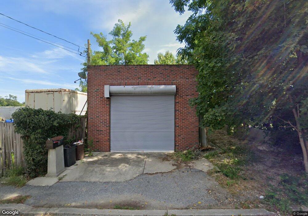
111 Mellor Ave Baltimore, MD 21228
Estimated Value: $139,996
--
Bed
--
Bath
--
Sq Ft
8,364
Sq Ft Lot
About This Home
This home is located at 111 Mellor Ave, Baltimore, MD 21228 and is currently estimated at $139,996. 111 Mellor Ave is a home located in Baltimore County with nearby schools including Catonsville Elementary School, Arbutus Middle School, and Catonsville High School.
Ownership History
Date
Name
Owned For
Owner Type
Purchase Details
Closed on
Jul 1, 2019
Sold by
Moynihan Keith
Bought by
White Timothy
Current Estimated Value
Purchase Details
Closed on
Nov 21, 2014
Sold by
Chesapeake Biodiesel Llc
Bought by
Moynihan Keith
Purchase Details
Closed on
Dec 13, 2007
Sold by
Gateway Partners Llc
Bought by
Chesapeake Biodiesel Llc
Purchase Details
Closed on
Dec 10, 2007
Sold by
Gateway Partners Llc
Bought by
Chesapeake Biodiesel Llc
Purchase Details
Closed on
May 20, 2004
Sold by
D A Drenner Concrete Inc
Bought by
Gateway Partners Llc
Purchase Details
Closed on
Apr 9, 2004
Sold by
D A Drenner Concrete Inc
Bought by
Gateway Partners Llc
Purchase Details
Closed on
Mar 17, 2000
Sold by
Mayor & City Council Ofbaltimore
Bought by
D A Drenner Concrete Inc
Create a Home Valuation Report for This Property
The Home Valuation Report is an in-depth analysis detailing your home's value as well as a comparison with similar homes in the area
Home Values in the Area
Average Home Value in this Area
Purchase History
| Date | Buyer | Sale Price | Title Company |
|---|---|---|---|
| White Timothy | $100,000 | None Available | |
| Moynihan Keith | -- | None Available | |
| Chesapeake Biodiesel Llc | $150,000 | -- | |
| Chesapeake Biodiesel Llc | $150,000 | -- | |
| Gateway Partners Llc | $85,000 | -- | |
| Gateway Partners Llc | $85,000 | -- | |
| D A Drenner Concrete Inc | $12,500 | -- |
Source: Public Records
Tax History Compared to Growth
Tax History
| Year | Tax Paid | Tax Assessment Tax Assessment Total Assessment is a certain percentage of the fair market value that is determined by local assessors to be the total taxable value of land and additions on the property. | Land | Improvement |
|---|---|---|---|---|
| 2025 | $1,192 | $98,800 | $91,800 | $7,000 |
| 2024 | $1,192 | $98,800 | $91,800 | $7,000 |
| 2023 | $599 | $98,800 | $91,800 | $7,000 |
| 2022 | $1,187 | $98,800 | $91,800 | $7,000 |
| 2021 | $1,187 | $98,800 | $91,800 | $7,000 |
| 2020 | $1,816 | $149,800 | $141,800 | $8,000 |
| 2019 | $1,816 | $149,800 | $141,800 | $8,000 |
| 2018 | $1,799 | $149,800 | $141,800 | $8,000 |
| 2017 | $1,816 | $149,800 | $0 | $0 |
| 2016 | $1,799 | $149,800 | $0 | $0 |
| 2015 | $1,799 | $149,800 | $0 | $0 |
| 2014 | $1,799 | $149,800 | $0 | $0 |
Source: Public Records
Map
Nearby Homes
- 16 Locust Dr
- 205 Newburg Ave
- 4 Holmes Ave
- 121 Forest Dr
- 2 Park Dr
- 38A Winters Ln
- 42 Winters Ln
- 14 Glenwood Ave
- 214 Shady Nook Ct
- 3 Arthur Ave
- 36 Darrow Dr
- 6618 Altamont Ave
- 820 Hidden Bluff Cir
- 0 Melvin Ave
- 133 Wesley Ave
- 19 Dunmore Rd
- 72 N Prospect Ave
- 518 Ingleside Ave
- 429 Lafayette Ave
- 201 Suter Rd
- 110 Mellor Ave
- 108 Mellor Ave
- 106 Mellor Ave
- 104 Mellor Ave
- 99 Mellor Ave
- 116 Mellor Ave
- 100 Mellor Ave
- 120 Mellor Ave
- 88 Mellor Ave
- 122 Mellor Ave
- 122 Mellor Ave Unit A
- 125 Newburg Ave
- 86 Mellor Ave
- 106 Bloomsbury Ave
- 124 Mellor Ave
- 122A Mellor Ave
- 84 Mellor Ave
- 117 Newburg Ave
- 127 Newburg Ave
- 78 Mellor Ave