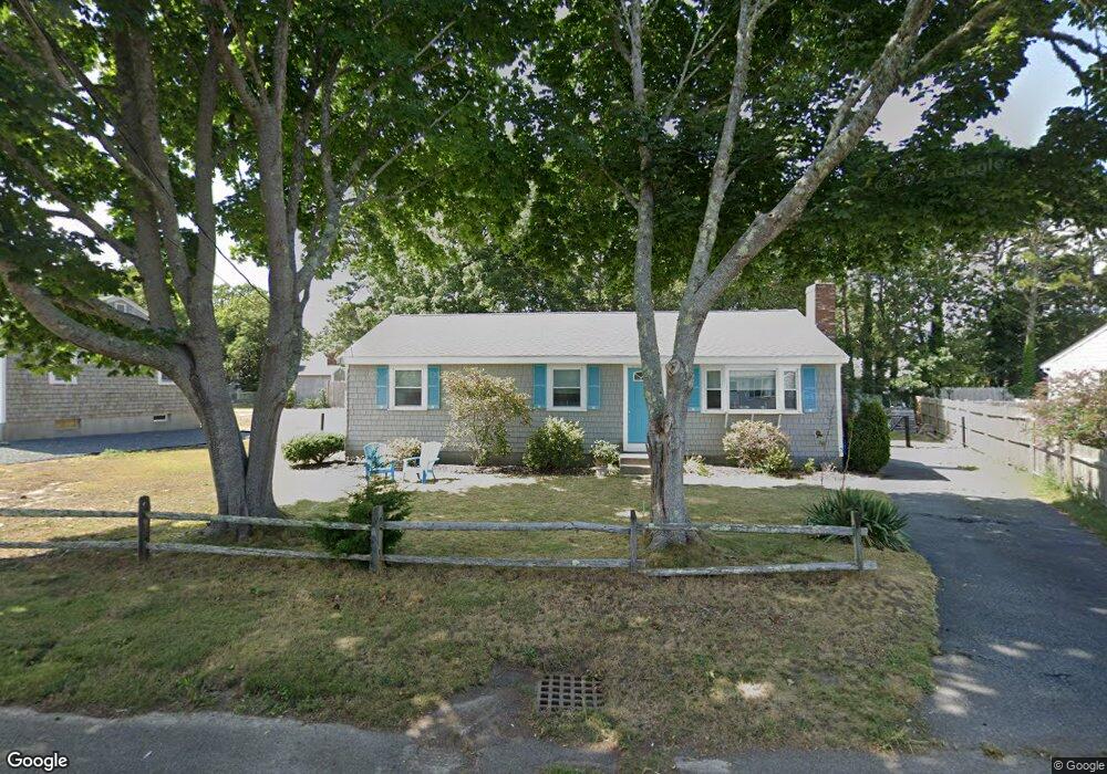
111 Michaels Ave Dennis Port, MA 02639
Dennis Port NeighborhoodEstimated Value: $536,000 - $679,000
3
Beds
1
Bath
1,056
Sq Ft
$586/Sq Ft
Est. Value
About This Home
This home is located at 111 Michaels Ave, Dennis Port, MA 02639 and is currently estimated at $618,825, approximately $586 per square foot. 111 Michaels Ave is a home located in Barnstable County with nearby schools including Dennis-Yarmouth Regional High School and St. Pius X. School.
Ownership History
Date
Name
Owned For
Owner Type
Purchase Details
Closed on
Jul 14, 2023
Sold by
Callahan Virginia L Est and Callahan
Bought by
Callahan Donna M
Current Estimated Value
Purchase Details
Closed on
Apr 5, 1977
Bought by
Callahan Joseph L and Callahan Virginia L
Create a Home Valuation Report for This Property
The Home Valuation Report is an in-depth analysis detailing your home's value as well as a comparison with similar homes in the area
Home Values in the Area
Average Home Value in this Area
Purchase History
| Date | Buyer | Sale Price | Title Company |
|---|---|---|---|
| Callahan Donna M | -- | None Available | |
| Callahan Joseph L | -- | -- |
Source: Public Records
Tax History Compared to Growth
Tax History
| Year | Tax Paid | Tax Assessment Tax Assessment Total Assessment is a certain percentage of the fair market value that is determined by local assessors to be the total taxable value of land and additions on the property. | Land | Improvement |
|---|---|---|---|---|
| 2025 | $2,373 | $548,100 | $202,200 | $345,900 |
| 2024 | $2,234 | $508,800 | $194,500 | $314,300 |
| 2023 | $2,160 | $462,500 | $176,800 | $285,700 |
| 2022 | $2,117 | $378,000 | $159,300 | $218,700 |
| 2021 | $2,165 | $359,000 | $178,400 | $180,600 |
| 2020 | $1,951 | $319,900 | $156,100 | $163,800 |
| 2019 | $1,842 | $298,600 | $153,100 | $145,500 |
| 2018 | $1,147 | $279,600 | $145,700 | $133,900 |
| 2017 | $1,629 | $264,800 | $135,300 | $129,500 |
| 2016 | $1,674 | $256,300 | $145,700 | $110,600 |
| 2015 | $1,640 | $256,300 | $145,700 | $110,600 |
| 2014 | $1,495 | $235,500 | $124,900 | $110,600 |
Source: Public Records
Map
Nearby Homes
- 80 Michaels Ave
- 27 Mayflower Ln
- 37 Ocean Dr Unit 2
- 10 Grindell Ave
- 112 Old Wharf Rd Unit E4
- 112 Old Wharf Rd Unit E1
- 61 Trotters Ln
- 18 Holiday Ln
- 154 Old Wharf Rd Unit 26
- 154 Old Wharf Rd Unit 14
- 15 Woodside Park Rd
- 71 Main St
- 4 Coffey Ln
- 6 Baker Way
- 125 Main St Unit 3
- 217 Old Wharf Rd Unit 64
- 241 Old Wharf Rd Unit 82
- 241 Old Wharf Rd Unit 127
- 262 Old Wharf Rd Unit 67
- 262 Old Wharf Rd Unit 5
- 107 Michaels Ave
- 115 Michaels Ave
- 72 Northern Ave
- 76 Northern Ave
- 106 Michaels Ave
- 110 Michaels Ave
- 66 Nipigon Way E
- 103 Michaels Ave
- 29 Nipigon Way E
- 80 Northern Ave
- 102 Michaels Ave
- 119 Michaels Ave
- 119 Michael's
- 114 Michaels Ave
- 61 Lawrence Rd
- 99 Michaels Ave
- 57 Lawrence Rd
- 98 Michaels Ave
- 63 Lawrence Rd
- 53 Nipigon Way W