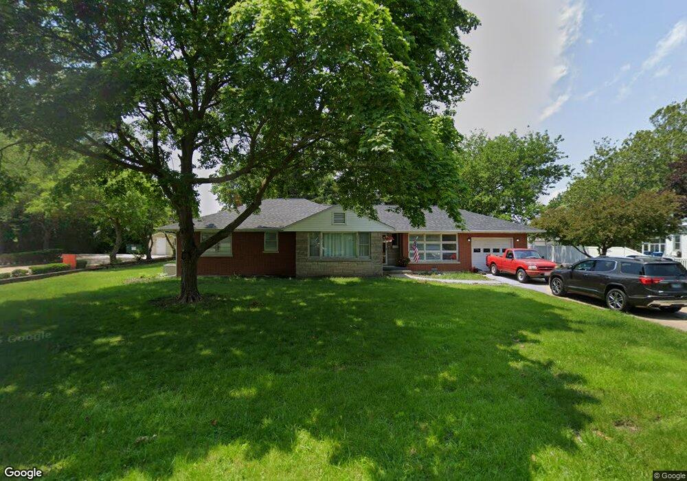
111 N Clinton St Dwight, IL 60420
Estimated Value: $203,000 - $252,000
3
Beds
1
Bath
2,421
Sq Ft
$94/Sq Ft
Est. Value
About This Home
This home is located at 111 N Clinton St, Dwight, IL 60420 and is currently estimated at $227,874, approximately $94 per square foot. 111 N Clinton St is a home located in Livingston County with nearby schools including Dwight Common School, Dwight High School, and Dwight Baptist Academy.
Ownership History
Date
Name
Owned For
Owner Type
Purchase Details
Closed on
Apr 5, 2022
Sold by
Fayhee Marcia
Bought by
Pfeifer Ean Hugh
Current Estimated Value
Home Financials for this Owner
Home Financials are based on the most recent Mortgage that was taken out on this home.
Original Mortgage
$135,920
Outstanding Balance
$127,178
Interest Rate
3.89%
Mortgage Type
New Conventional
Estimated Equity
$100,696
Create a Home Valuation Report for This Property
The Home Valuation Report is an in-depth analysis detailing your home's value as well as a comparison with similar homes in the area
Home Values in the Area
Average Home Value in this Area
Purchase History
| Date | Buyer | Sale Price | Title Company |
|---|---|---|---|
| Pfeifer Ean Hugh | $170,000 | None Available |
Source: Public Records
Mortgage History
| Date | Status | Borrower | Loan Amount |
|---|---|---|---|
| Open | Pfeifer Ean Hugh | $135,920 |
Source: Public Records
Tax History Compared to Growth
Tax History
| Year | Tax Paid | Tax Assessment Tax Assessment Total Assessment is a certain percentage of the fair market value that is determined by local assessors to be the total taxable value of land and additions on the property. | Land | Improvement |
|---|---|---|---|---|
| 2024 | $4,081 | $50,490 | $10,837 | $39,653 |
| 2023 | $3,595 | $46,110 | $9,897 | $36,213 |
| 2022 | $4,171 | $45,614 | $9,897 | $35,717 |
| 2021 | $1,513 | $44,286 | $9,609 | $34,677 |
| 2020 | $1,528 | $43,848 | $9,514 | $34,334 |
| 2019 | $1,609 | $41,641 | $9,035 | $32,606 |
| 2018 | $1,647 | $41,543 | $8,721 | $32,822 |
| 2017 | $2,719 | $38,218 | $8,023 | $30,195 |
| 2016 | $1,653 | $36,089 | $7,576 | $28,513 |
| 2015 | $1,681 | $36,638 | $7,691 | $28,947 |
| 2013 | $1,589 | $47,738 | $8,216 | $39,522 |
Source: Public Records
Map
Nearby Homes
- 206 W Seminole St
- 123 W Waupansie St
- 111 W Waupansie St
- 124 W Seminole St
- 311 W Chippewa St
- 113 W Delaware St
- 403 W James St
- 207 W Williams St
- 0 Illinois 17
- 000 Lincoln St
- 215 E Waupansie St
- 212 E Waupansie St
- 212 E Chippewa St
- 000 E Waupansie St
- 308 E Delaware St
- 1404 S David Dr
- 502 S Union St
- 305 Prospect Ave
- 524 Lloyd Dr
- 533 Carriage Ct
- 115 N Clinton St
- 531 Carriage Ct
- 529 Carriage Ct
- 104 N Clinton St
- 221 W Seminole St
- 316 W Mazon Ave
- 205 N Clinton St
- 219 W Seminole St
- 218 W Mazon Ave
- 207 N Clinton St
- 217 W Seminole St
- 201 N Clinton St
- 216 W Seminole St
- 310 W Mazon Ave
- 215 W Seminole St
- 221 W Waupansie St
- 211 N Clinton St
- 207 W Seminole St
- 223 W Seminole St
- 227 W Seminole St